|
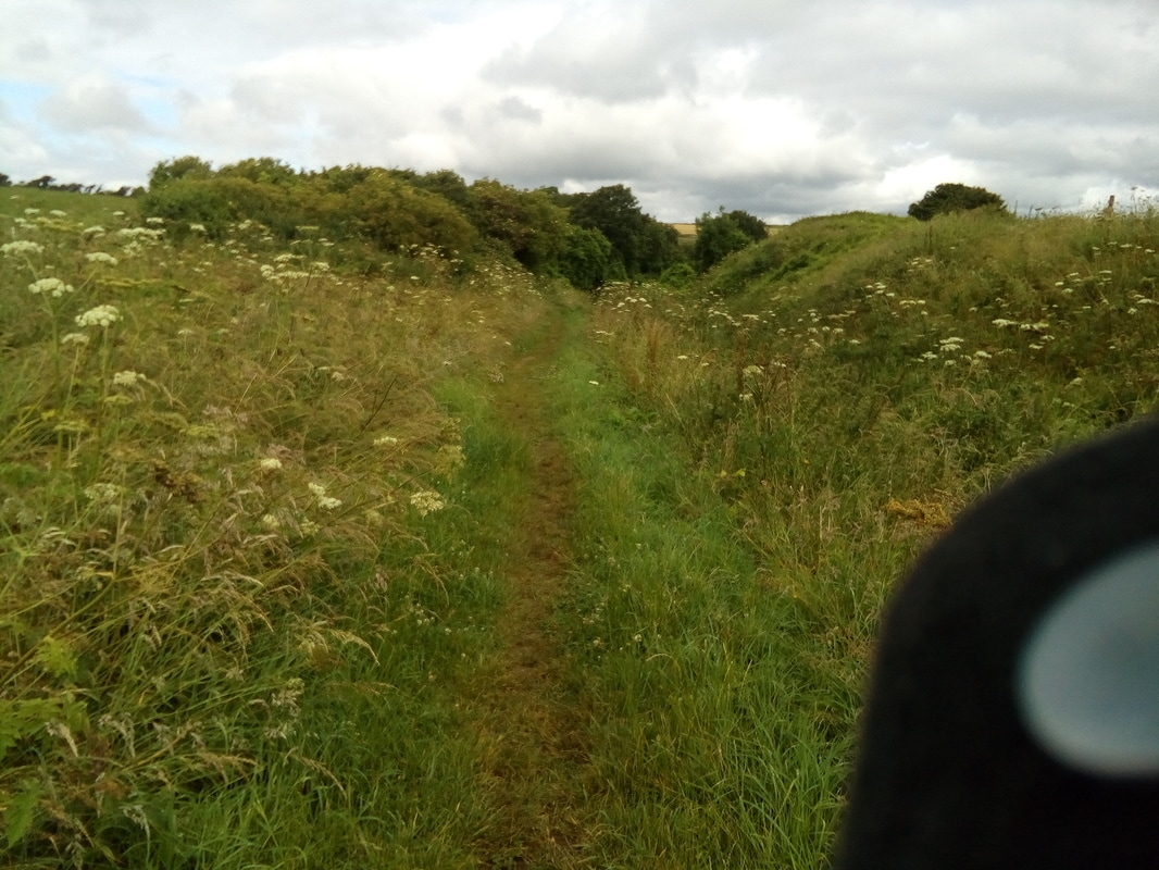
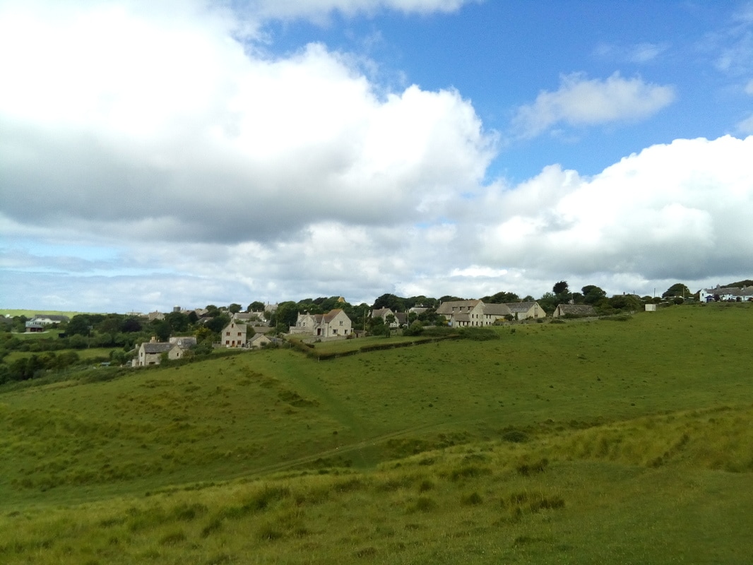
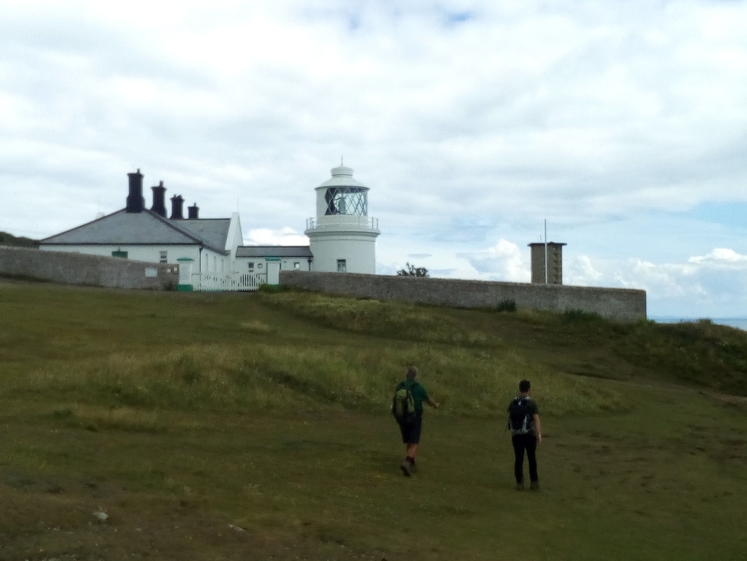
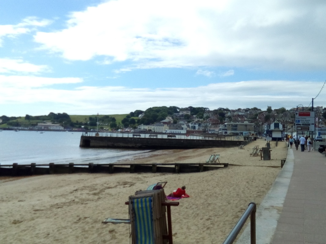
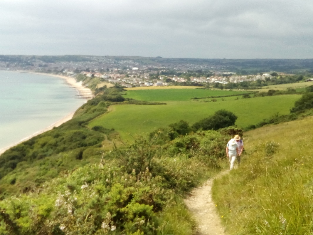
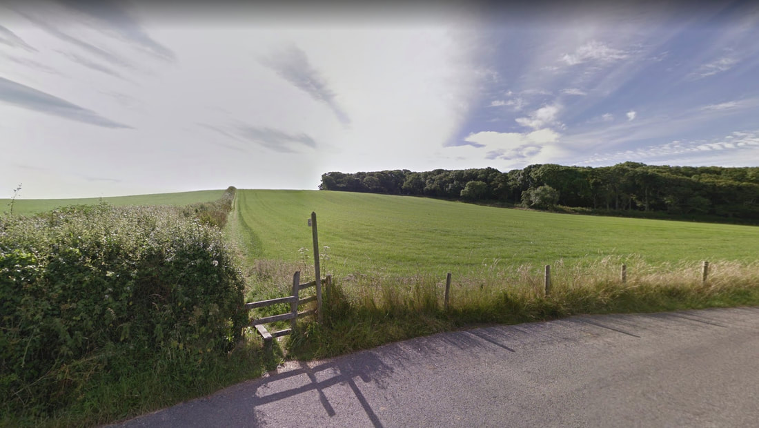
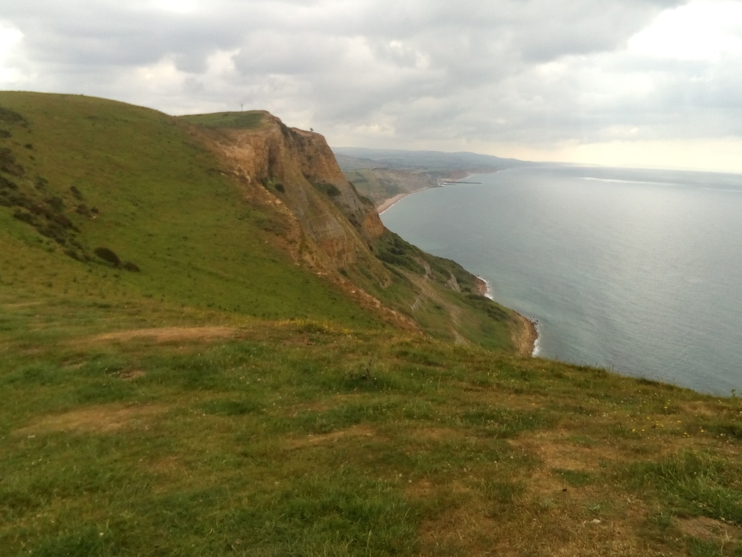
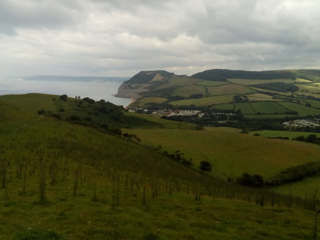
Swanage Purbeck Way footpath next to Swanworth Stone Quarries I walked from Kingston, Dorset to Swanage. From Kingston I walked along the road towards Swanage (B3069) until I reached the Purbeck Way footpath. I followed the path past Swanworth Stone Quarries and then turned onto a footpath to Worth Matravers and then on to join the Coast Path at the bottom of Seacombe Bottom. Looking back at Worth Matravers from the east. From Seacombe Bottom I continued along the SWC path past the lighthouse at Anvil Point and finally arrived at Swanage. Swanage was starting its Pirate Days festival so all around town there were people dressed in pirate clothes. Swanage seafront Looking back at Swanage as I left.
0 Comments
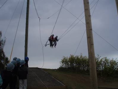
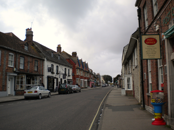
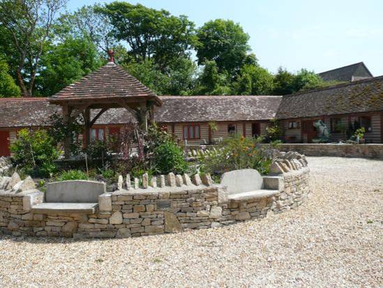
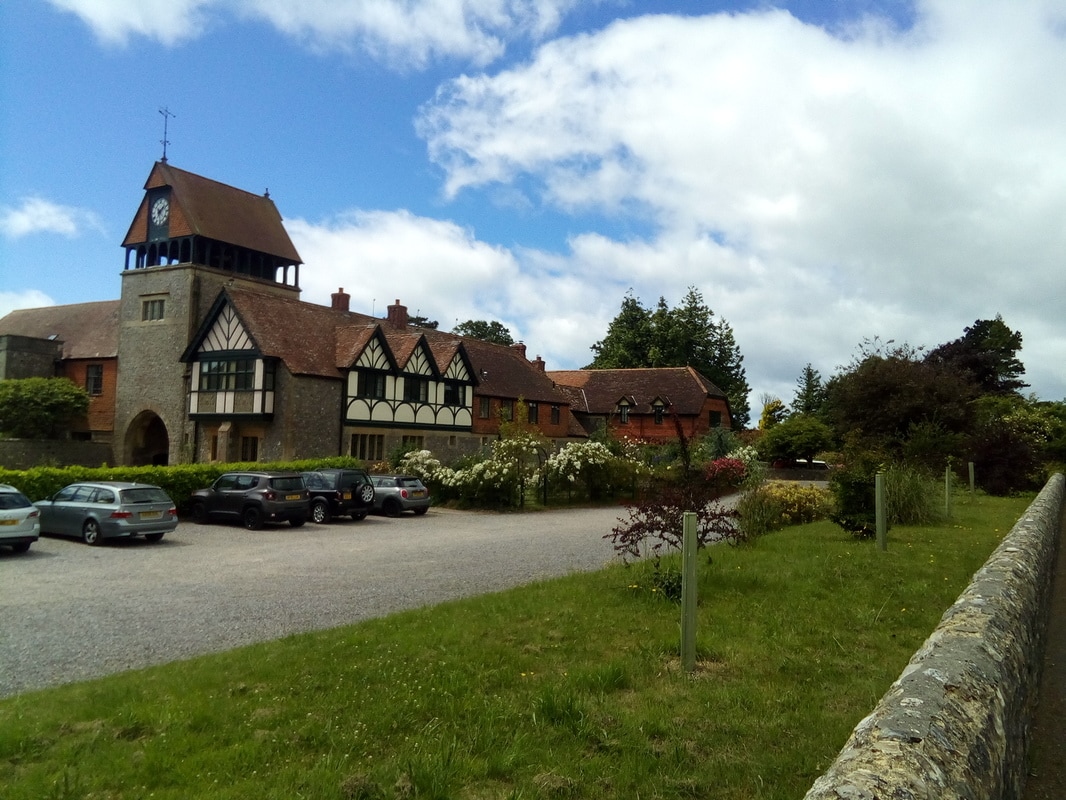
Kingston Today I was supposed to be able to walk across the Lulworth military firing ranges but on this particular weekend they were closed to the public which meant a lengthy detour around the perimeter. As the weather was not great and the forecast was for heavy rain in the afternoon I decided to walk to Osmington from where I could travel by bus to a suitable point on the east side of the military range. Approaching the point where I had to turn away from the coast path I walked by an adventure centre for school groups. The centre covered a large area and also had access to the beach below the cliffs. Walking along by the fence I saw and watched some of the activities. There were zip lines, giant swings, climbing challenges of various kinds and I heard an instructor encouraging one group to go into some underground tunnels. It was clearly well designed and well organised. The adventure centre near Osmington When I reached Osmington I had to wait for the next bus so I went into The Sly Fox and enjoyed a good buffet lunch. I was asked about Hazel's Helper so I explained what it was that I was doing and when I went to pay for my meal I was given a lunch bag with a sandwich in it to help me on my way. My destination was Kingston where I had booked a room in the Kingston Country Courtyard. Staying in Kingston meant that I was well located to reconnect with the coast path which had now become the England Coast Path. The bus route to Kingston went from Osmington to Wareham and then a change to the bus that passed through Kingston. Once again I had to wait for the connection so I was able to take a walk along North Street and South Street and explore the shops along the way. When I arrived in Kingston it had started to rain and I had to walk about a half a mile to reach my B&B for the night which was upscale accommodation popular for weddings and other special gatherings. Once I was settled in I walked back down to the village and had supper in the local pub.
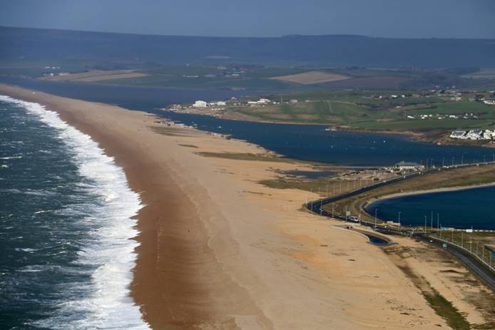
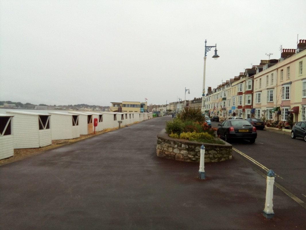
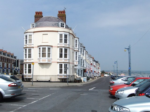
Weymouth I walked from Abbotsbury to Weymouth but the weather was so dismal that I didn't take any pictures. To make up for this oversight I have searched the web and found pictures that relate to my progress on this part of the walk. The path at Wyke Wood When I started to walk there was a slight drizzle but it became increasingly heavier until it was raining steadily. I put my rain gear on before I got too wet and put the rain cover over my backpack. Unfortunately the rain somehow managed to get into the bottom of the rain cover and create a little pool of water. I had to keep checking and emptying the water as I went along. Chesil Beach looking over East Fleet The walking was easy once the path followed a route beside the Fleet lagoon which is between Chesil Beach and the mainland. Nice and flat. Weymouth seafront The rain eased off as I approached Weymouth and walked along the seafront to the B&B where I was staying for the night. Later, as I went out to look for a place to have my supper, it started to rain heavily and I was soaked. I walked back to the restaurant only two doors down from my B&B and went in. I can't imagine what the other customers must have thought when this wet, bedraggled individual with a shaggy beard and hiking clothes walked in and sat down for a meal. My Weymouth B&B
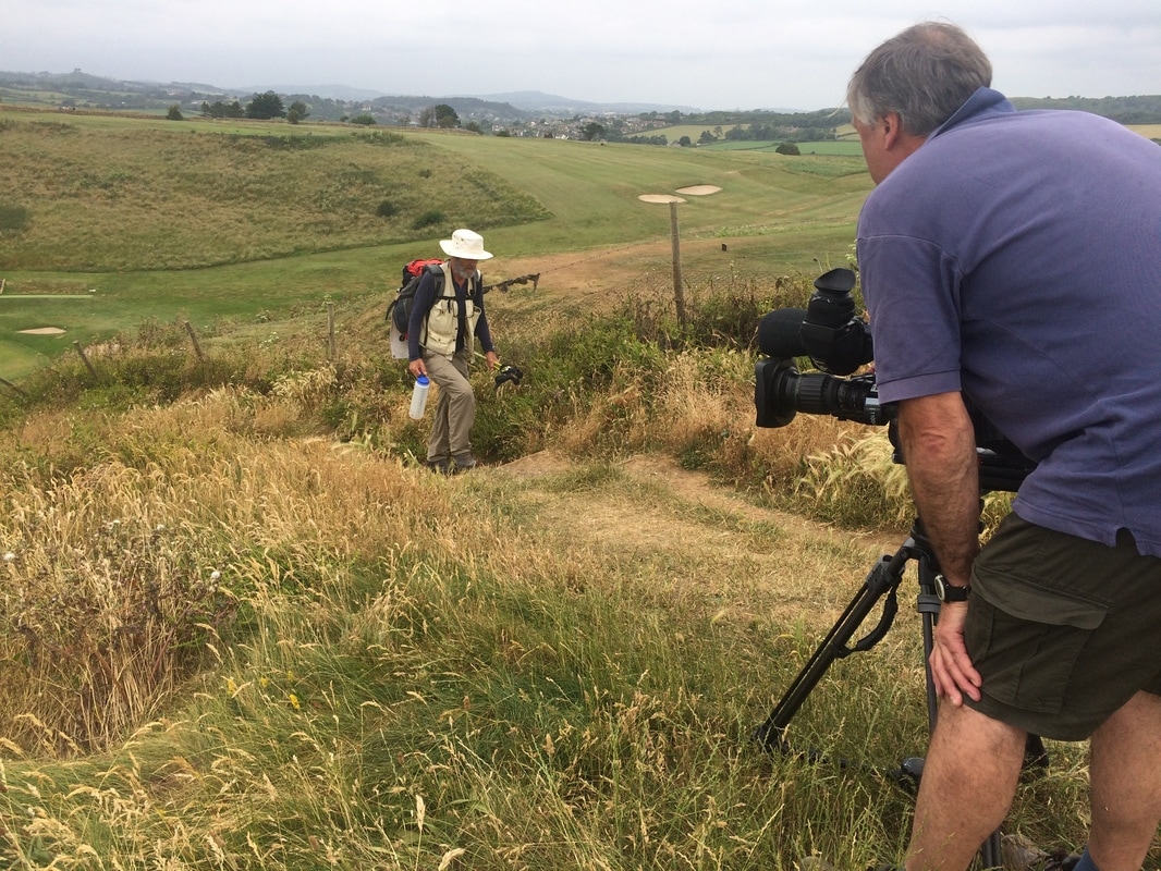
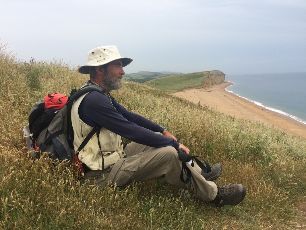
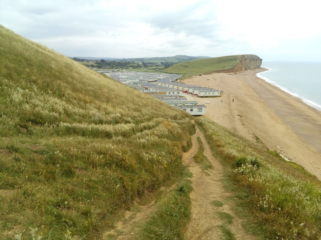
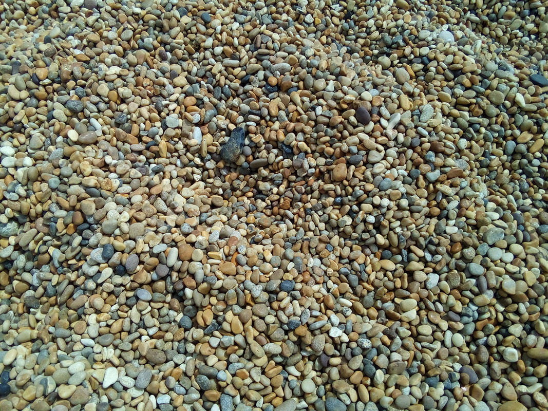
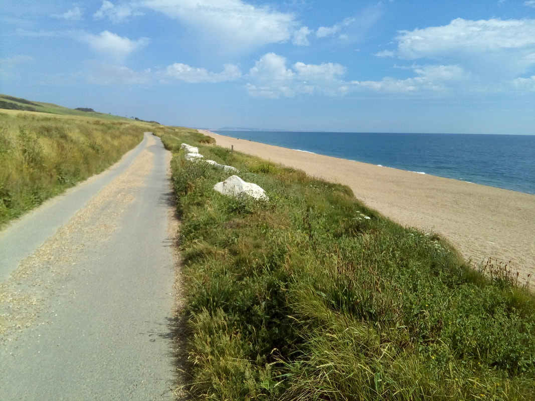
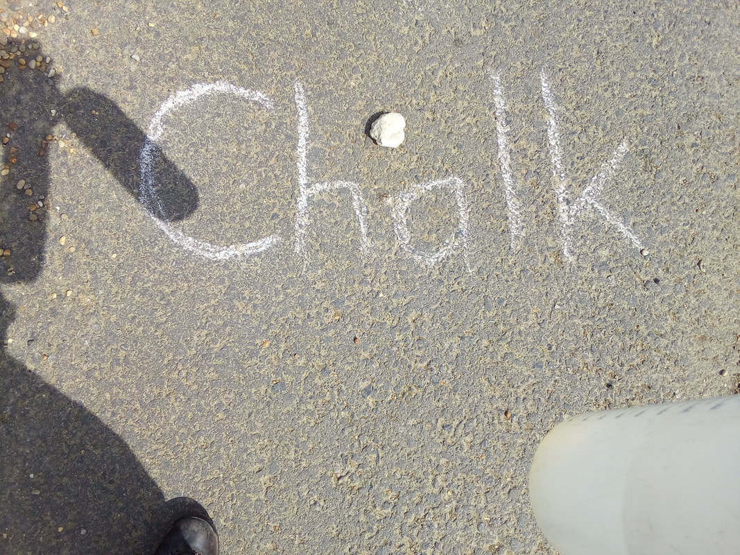
The Abbotsbury - BBC TV interview The BBC 1 South West producer/interviewer/news reporter, Emma Thomasson, came and picked me up in Abbotsbury and drove me back to Burton Freshwater where she had decided would be a good place to do a video interview with me. The BBC camera man and me. Do you recognise the view in the background from yesterday? It was here that we re-enacted my walk and Emma interviewed me while we both perched on a rock by the side of the path. Abbotsbury The first part of the walk after leaving Seatown was hard. Steep climbs over headlands for a total climb of approximately 1480ft (454m) in quite a short distance. The view from East Ebb Cove towards the Isle of Portland Looking across Eype Caravan & Camping Park to Thornecombe Beacon After climbing the last steep slope out of West Bay and walking by the Bridport & West Dorset Golf Course the path descends to Burton Freshwater where there is a large caravan park. The view across this caravan park may be familiar to any of you who watched the Broadchurch TV series. Fortunately I didn't see any bodies lying at the bottom of the cliff. Once I had gone past Burton Bradstock the path was level walking which was great as long as it wasn't on the pebble beach. Walking on the small, round pebbles was like walking on a bed of ball bearings. It took two steps to make one step of progress. Shortly after West Bexington the path follows a road just up from the beach and continues all of the way until it turns inland for a short distance to Abbotsbury. All along this road there are big pieces of chalk rock that have probably been put there by farmers who wanted to get them out of their fields. This chalk is so close to the same quality chalk that some of us remember being used in school that I decided to use a small piece to write on the road to prove my point. I found accommodation in Abbotsbury with only a little difficulty and I stayed in a quaint cottage for two nights so that I would be available for my big moment on BBC TV the next day.
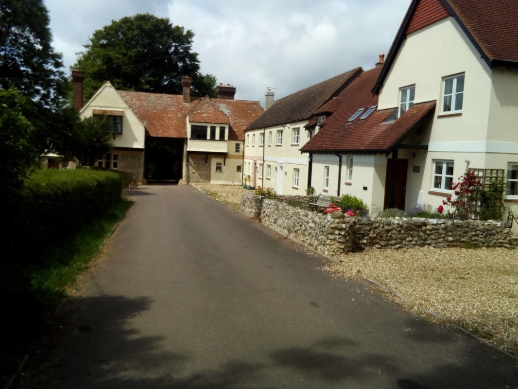
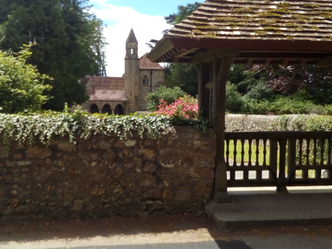
Seatown From Seaton I took the SW Coast Path Association recommended inland route to Lyme Regis to avoid the land slips along this stretch of the coast path. It was an interesting route but not spectacular with one exception, the Rousdon Estate. The estate is entered through a gateway arch with a gate house which then gives access to an absolutely straight road to the gate on the opposite side of the estate. The entrance gate to the Rousdon Estate As I walked along I came across houses from various eras. There is an old church by the drive which offers regular services. The estate was recorded in the Domesday Book in 1086 and after several changes of ownership it was purchased in 1872 by the Peek family (the Peek Frean biscuit family) who owned it for many years until it was bought by a consortium as a private estate which has a working farm and housing for a small village. Saint Pancras Church, Rousdon Estate At the centre of the estate there is a large Victorian house that became the home for Allhallows School from 1937 to 1998. As it turns out, we have a resident in Jasper who attended that school when she was growing up in England. Victorian Manor, Rousdon Estate From the estate I continued on through Lyme Regis to Seatown where I planned on camping for the night because there wasn't any accommodation available. I enquired at the holiday caravan site about camping but when they told me the camping fee I decided to walk a little further until I found a suitable place to camp wild. I had supper at the local pub/restaurant before starting to walk out of the hamlet but I was stopped by a lady who wanted to know about Hazel's Helper. After I had chatted with her and she found out that I hadn't found anywhere to stay she offered to let me spend the night in their holiday trailer. I gladly accepted the offer and spent a pleasant evening with Erica and Pete, her husband.
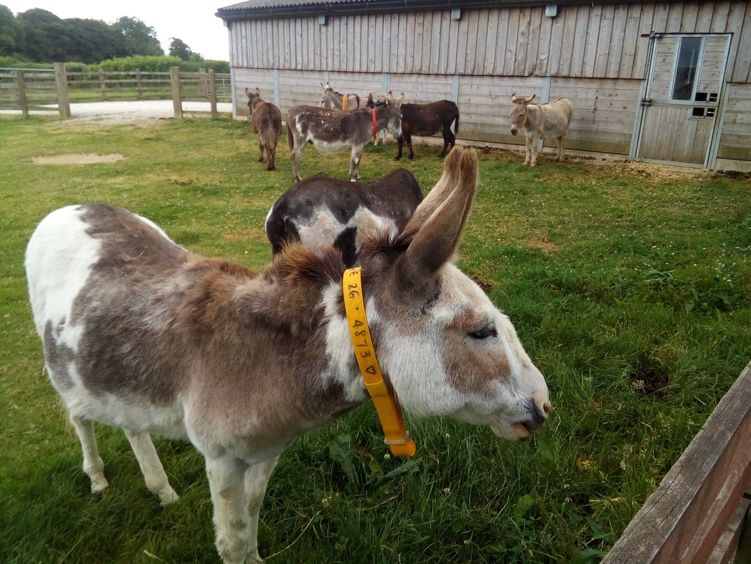
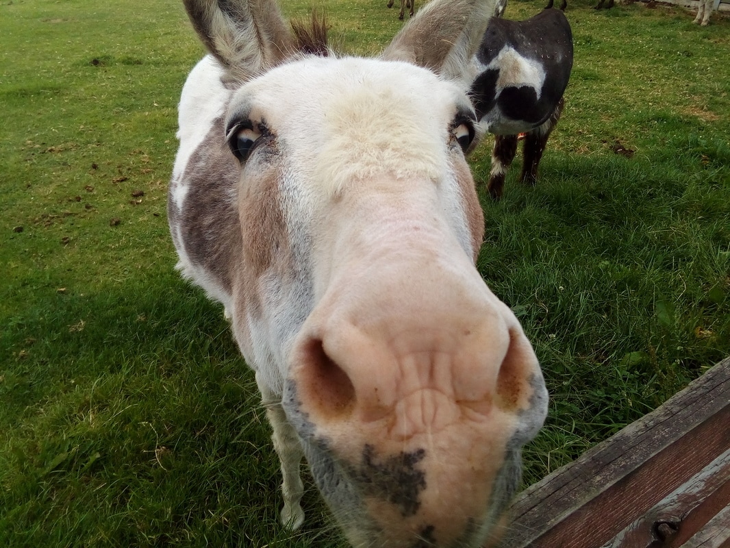
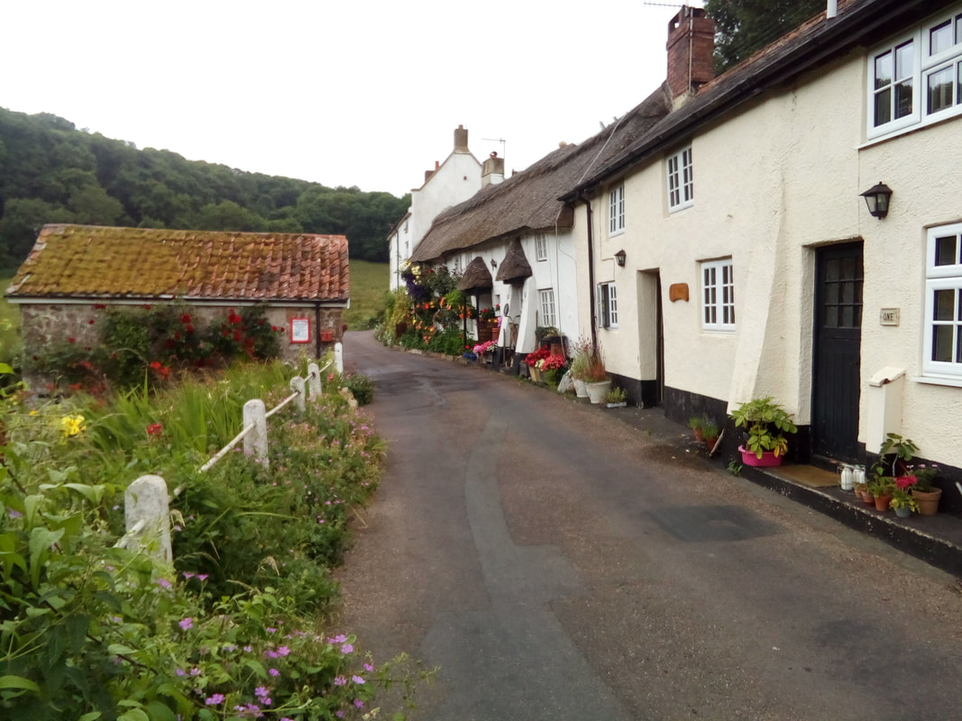
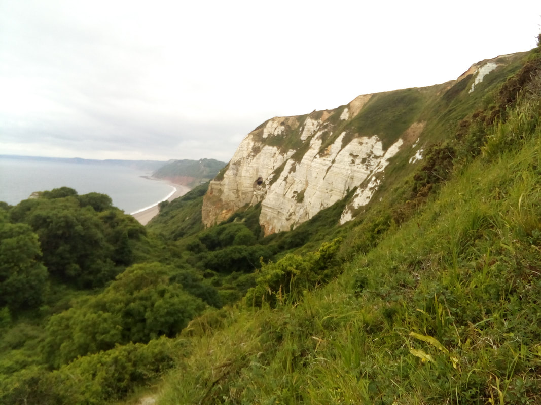
Seaton As I started out on my walk and I climbed up the first headland out of Sidmouth I realised I would not be able to reach Seaton with time to find a place to stay if I kept to the official coast path. After a look at the map I decided to find my own way on some of the many public footpaths available all over England. It was a good decision because my diversion lead me to some interesting places I would otherwise have missed. I went by and briefly visited a donkey sanctuary where unwanted, overworked and abused donkeys are rescued. It's an amazing facility covering a large area all divided up into different paddocks (corrals) for different donkeys according to their types or their disposition. There is even a paddock for therapy donkeys that are used for helping visitors who have physical or mental disorders. All of the buildings are modern and well equipped and it is obvious that the donkeys are well cared for. The donkey sanctuary He likes me! Further along the way I came to the village of Street. It's a beautiful little village nestled in a pretty valley. As you can see in the picture the cottages are old and many of them have thatched roofs. Needless to say it had a pub, The Fountain Head, where I stopped for lunch. When I left the pub I walked past a mum, dad, a little girl and a baby. As I went by the little girl saw the poster on the back of my backpack and said, "Why does that man have a picture of a baby on his back?" I turned round and replied, "I'm glad somebody asked," and had a great conversation with the parents who donated in the name of their two daughters. From street I continued on and eventually rejoined the coast path at Branscombe Mouth. It was along this stretch of the coast that the red sandstone cliffs started to give way to the most westerly occurrence of the famous white chalk cliffs.
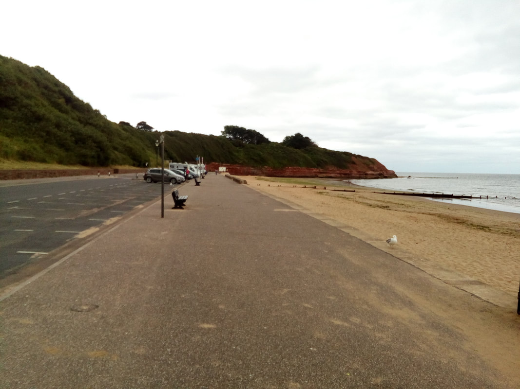
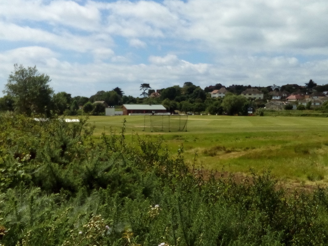
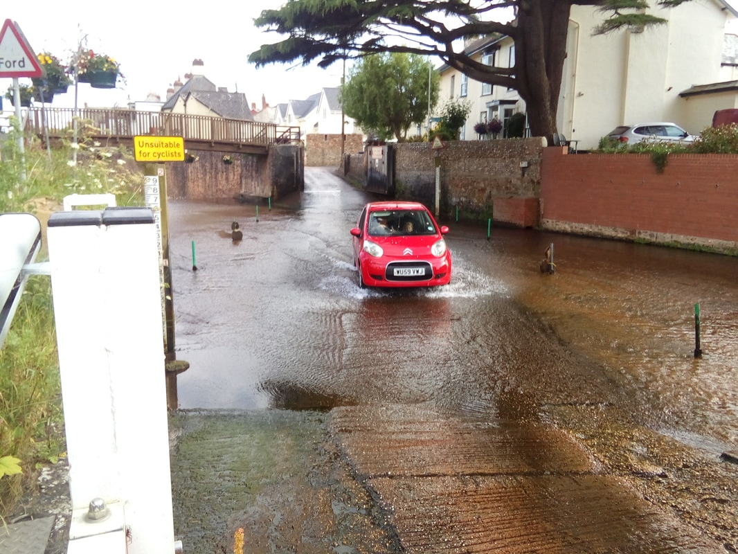
As I approached Beer I met three young ladies, one carrying a baby in a backpack, and we walked together for awhile talking about Hazel, Gillian and Hazel's Heroes and they all took one of my cards so that they could look on the internet. When I arrived in Seaton I found accommodation at the first place I came across, a nice B&B. All in all a really good day. Sidmouth Orcombe Point, Exmouth I had an early start today because breakfast was served at 7:30am. At the end of the seafront promenade I came to Orcombe Point, a place of special significance for Jenny and me. It's a private place with lots of parking and very dark at night so I'll leave why we remember it to your imagination. When I climbed up the headland above Orcombe Point I came to the Geoneedle, a monument marking the start of the Jurassic Coast which is rich in fossils and is protected as a UNESCO world heritage site. The weather was perfect for walking; a mixture of cloud with sunny breaks, a cool breeze and a lower temperature. The path to Budleigh Salterton was a pleasant mix of gradual ups and downs with level walking in between. I arrived in Budleigh at close to nnon and stopped at a seafront cafe for a coffee and a toasted teacake. When I was served the teacake I was warned "Watch out for the seagull." I went out to a table and started to eat my toasted teacake but when I put it down to put cream and sugar in my coffee a seagull swooped down and grabbed half of my teacake in his beak. Well this bird hadn't reckoned with a startled and angry Canadian. I gave chase and scared the bird enough that it dropped the food which I recovered. Then, much to the amusement of the onlookers, I ate the remains of the teacake.  I originally intended that Budleigh Salterton was my destination for the day but I was so early I decided to continue on to Sidmouth. The walk along the Otter River was flat and pleasant and it went by the town's cricket ground. This beautifully maintained cricket ground devoted only to cricket really impressed me because the population of the town is only 5,500. The cricket ground at Budleigh Salterton From the river the walk was more strenuous but manageable. I arrived in Sidmouth just before the information centre was closing but I was just in time for them to help me find aB&B for the night. The B&B was on the other side of the River Sid which vehicle traffic had to cross through a ford. Fortunately for me there was a footbridge for me so I didn't have to take my boots off. The ford across the River Sid at Sidmouth
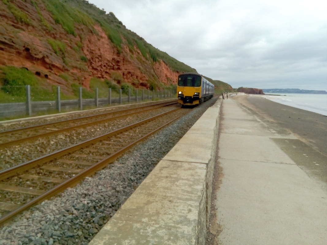
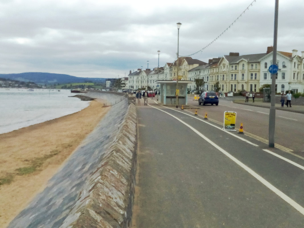
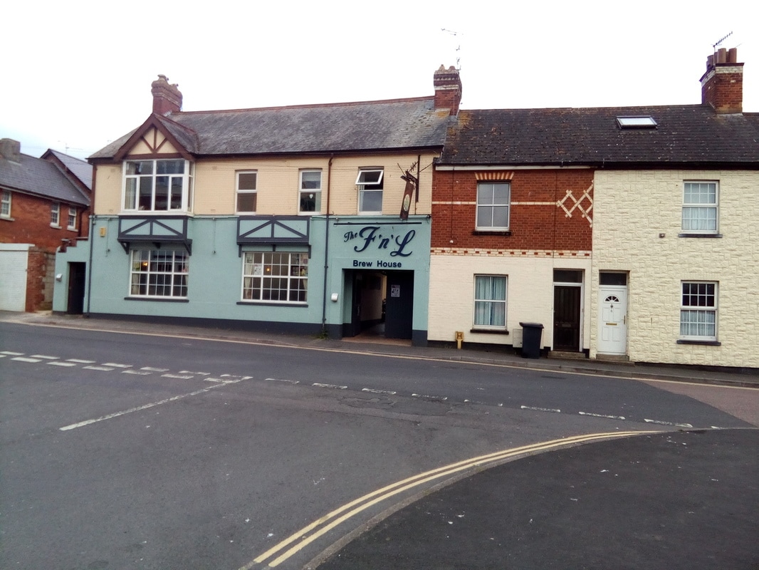
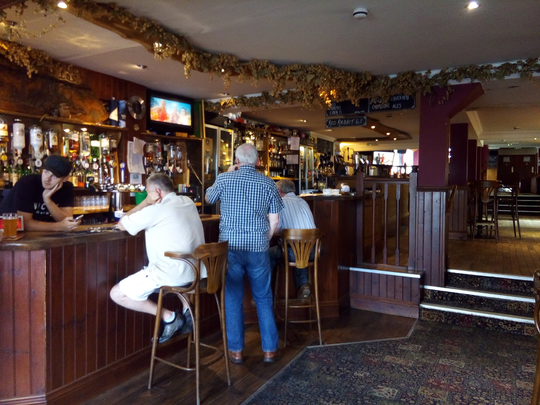
Exmouth A very easy day, only 7.9 miles (12.7km) most of which was along seafront, beside the railway or on flat bridle paths by the side of a road. From just outside of Teignmouth at Holcombe the seafront promenade goes right next to the railway all the way to Dawlish and then on to Dawlish Warren. A pleasant walk especially with cooler, overcast weather. Several trains went by as I walked; small local trains and faster mainline trains. Part of this line was washed out in February 2014 and it was easy to see where the repairs had been done. Once I had passed Dawlish Warren the walk followed a road and the railway on a paved bridle path until I reached Starcross. At Starcross I caught the ferry across the River Exe estuary to Exmouth. Exmouth is where I dated Jenny while we were both attending teacher training colleges. I was studying at St. Luke's College in Exeter but in my last year I lived in a flat with two other students and we travelled up to Exeter every day, a distance of 10 1/2 miles. Jenny was studying at Rolle College in Exmouth. Exmouth seafront Our local pub was the First and Last which was a small pub in a row of houses where the locals came for the evening and you would find some playing Euchre and we could play darts. Boy, what a change in 51 years. No longer the tiny bar, it has been opened up to be at least four times its original size. The First and Last pub in Exmouth
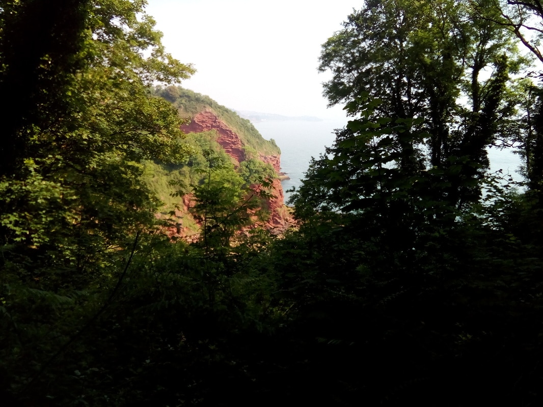
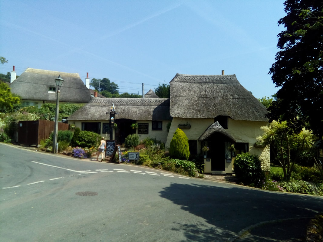
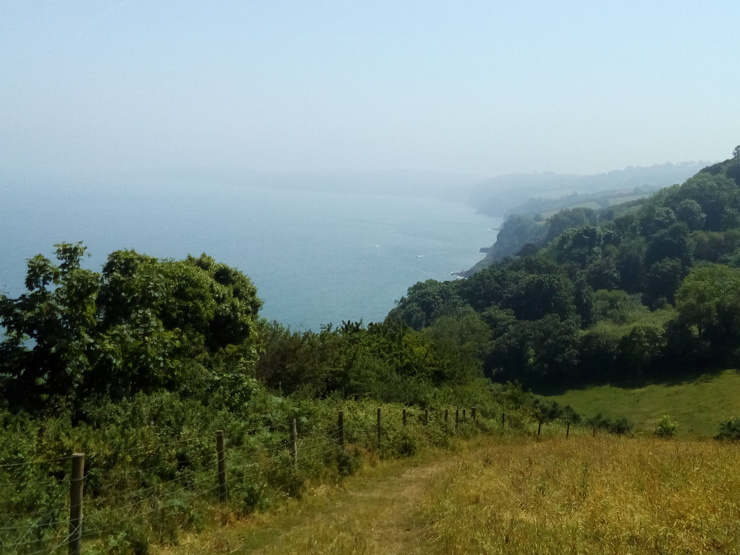
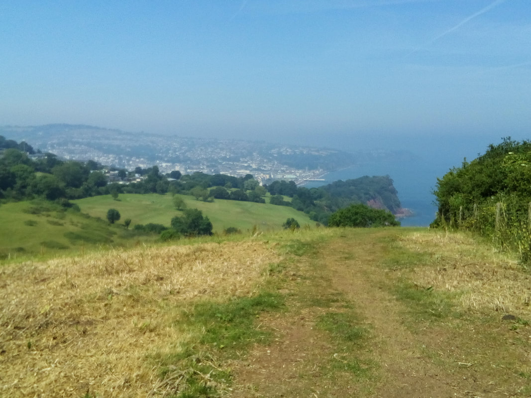
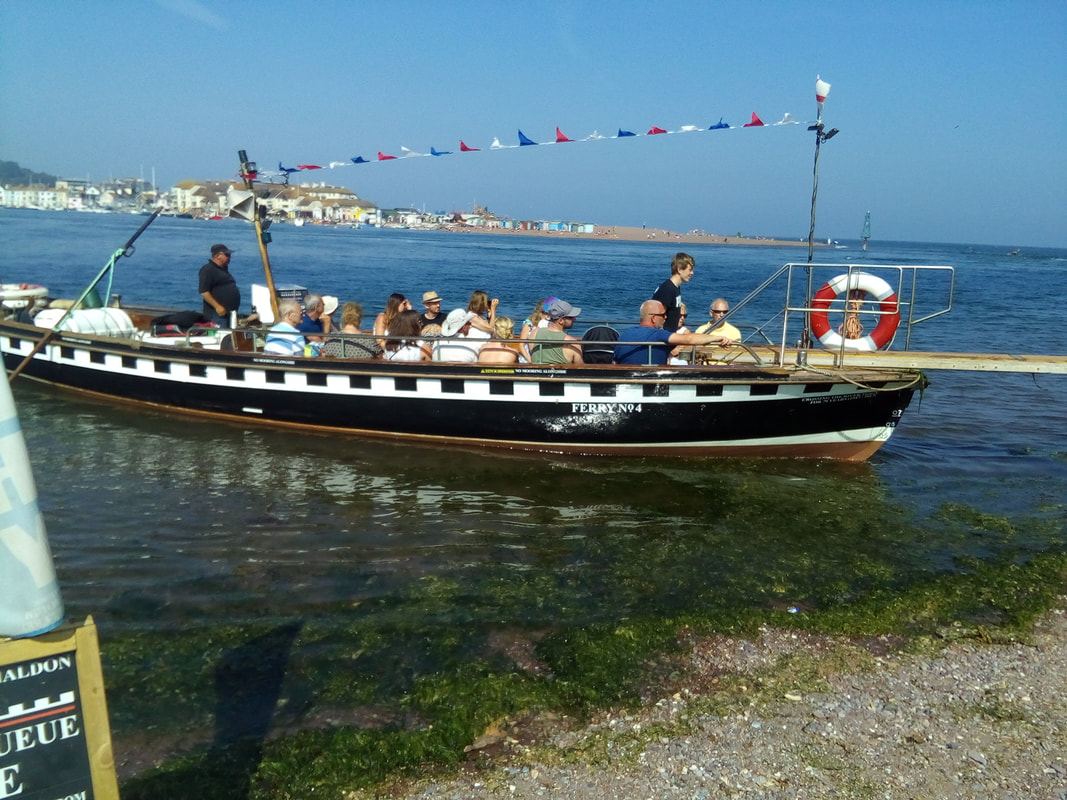
The distinctive red sandstone cliffs of South Devon Another hot, sunny day with high humidity and a significant heat haze which obscured the views of the coast. The guide book rated today's segment as "Strenuous" but apart from a couple of headlands towards the end it was reasonable. The path passed through a lot of wooded areas which helped to keep it cooler. When I reached Maidencombe at lunch time I stopped at the Thatched Tavern for my lunch. This was the prettiest pub that I visited along the whole of my long walk. The young lady behind the bar asked me about Hazel and after I had told her about my cause she asked if I had any more of my Hazel's Helper business cards so that she could help to promote it. Later on David, Angie and Fudge caught up to me again and they said they knew I had been at the pub because my business cards had been placed on all of the pub tables A hazy view south around Babbacombe Bay After meeting with David and Angie we continued along the path together for the last piece of today's route and crossed from Shaldon to Teignmouth on the ferry together. Approaching Teignmouth When we reached Teignmouth I was still needing to find some accommodation and David and Angie had their's all organised. I asked if it would be OK if I called to see if I could stay in the same B&B and as a result I spent a very pleasant evening in comfortable accommodation with them both.
|
Hazel's PoppaI'm a grandfather who lost an infant granddaughter and who wants to help Gillian, her mother, provide support for other grieving parents through Hazel's Heroes. Archives
April 2020
Categories |
Proudly powered by Weebly

 RSS Feed