|
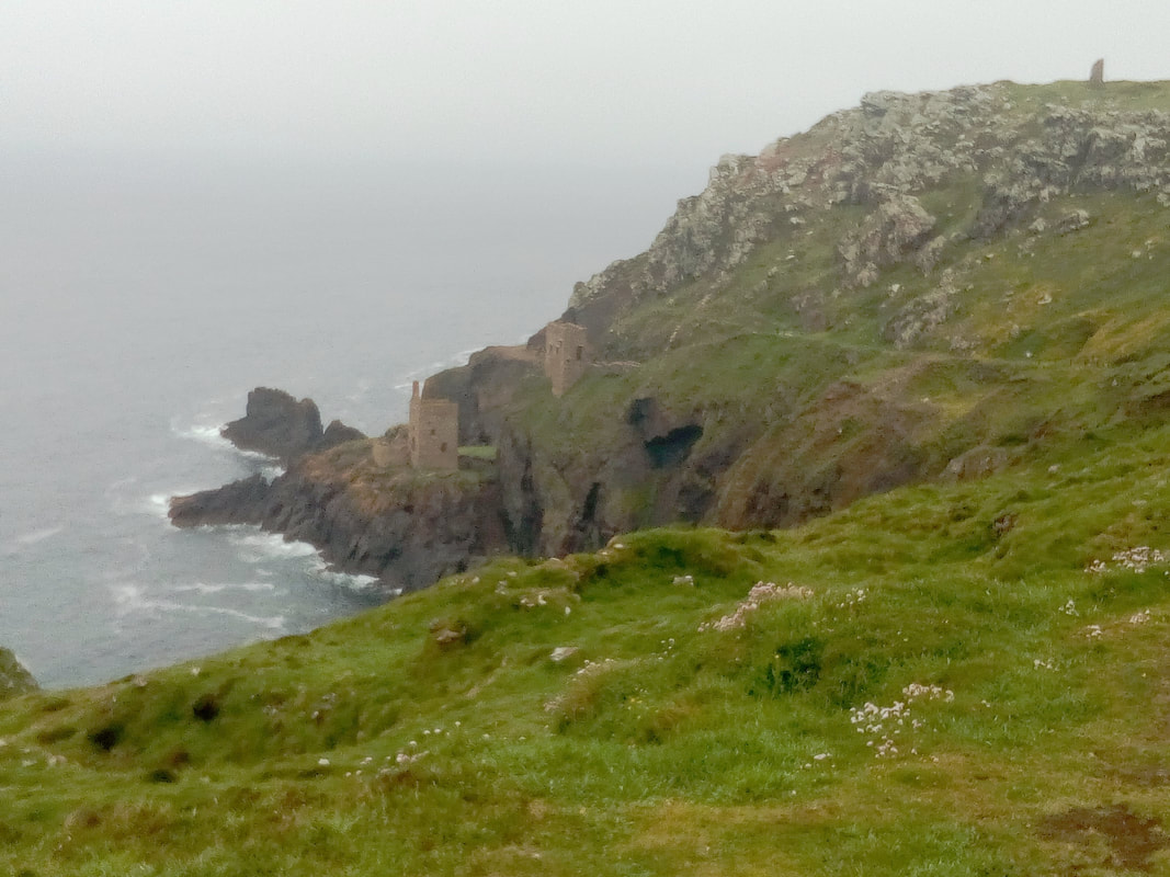
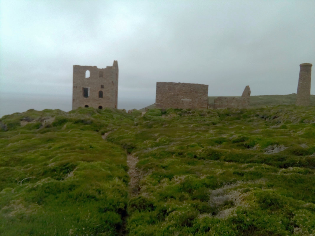
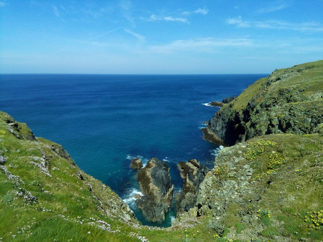
Sennen Cove Today was a "moderate" day according to the guide book but there were many sections of climbs through rough, random granite boulders. This stretch of the path passes by many abandoned tin mine sites with their buildings still braving the Atlantic forces as a testimony to their past importance. Mine shafts like the one in the picture went down to galleries that went out under the sea following the veins of ore. It is said that some of the tunnels were so close to the sea floor that the miners could hear the waves crashing above them during a storm. The start of the walk was gloomy and wet in the morning but as the day progressed the weather improved and by 4:00pm the sun was shining. 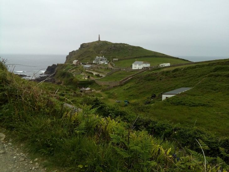 Cape Cornwall Just after lunch I went past Cape Cornwall which was considered to be the most westerly point of England until the Ordnance Survey was completed 200 years ago. Tomorrow I will pass the point that now holds that important honour. The last part of the walk as I approached Sennen Cove was fairly level but it was through loose sand - not easy.
0 Comments
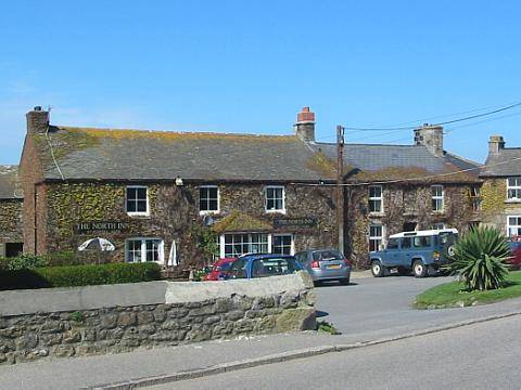
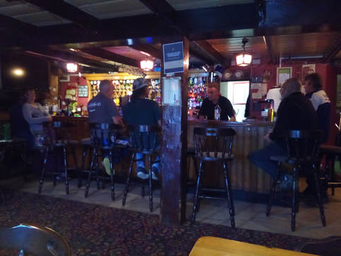
Today was grey and overcast but no rain. I went from St.Ives to Pendeen where I stayed at the North Inn for the night. The walk was a hard slog – lots of ups and downs. I had a great evening in the pub chatting with the locals, eating an excellent curry and drinking two pints of beer.
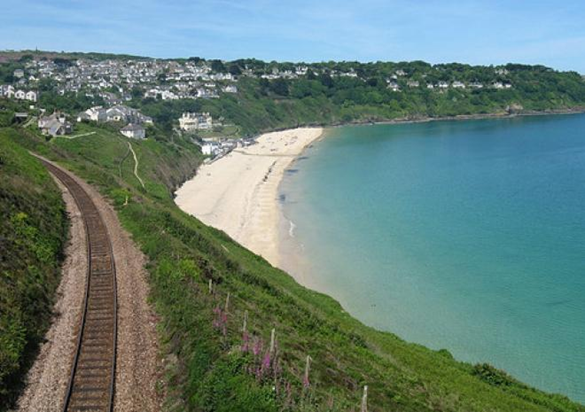
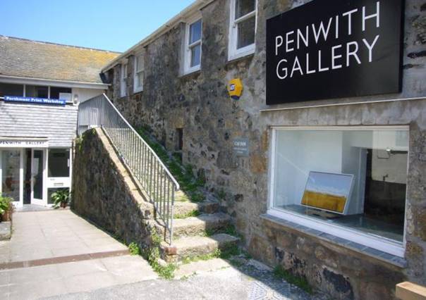
St. Ives Carbis Bay 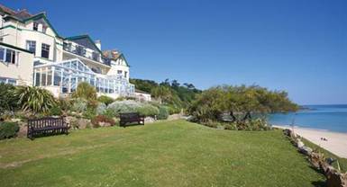 After another tasty B&B breakfast, the owner's daughter volunteered to start me on my way by driving me to Griggs Quay on the Hayle Estuary Nature Reserve near Lelant. Just after I started to walk I met a couple who asked me about the Hazel's Helper sign on my backpack. In the course of our conversation it transpired that they had a friend who had also lost a baby grandchild. The baby's father, Nick Hodges, wanted to do something in his son's name so he started the Bodie Hodges Foundation to raise enough money to buy a property to "Create a relaxing and safe environment that allows time for peace and reflection" for families who have lost a child. He also wanted to "Develop a wider understanding of the importance of organ donation." Nick's goals are very similar to my own reasons for taking on the challenge of walking the South West Coast Path. From Lelant I continued on my way to Carbis Bay where I stopped for lunch at the Carbis Bay Hotel. I had a very nice sandwich and a pot of tea which the hotel very kindly donated. I sat at a table with two ladies who had been friends for 30 years and we had an interesting and lively conversation. After leaving Carbis Bay I continued on to St. Ives. Martin Procter, my cousins husband, told me he was going to hang some of his paintings in the Penwith Gallery in St. Ives so I had enough time to visit the gallery to see for myself what it was like. While I was there one of the gallery staff helped me to find accommodation for the night at the Cohort Hostel and she also gave a donation for Hazel's Heroes. The hostel was dormitory accommodation - very basic but better than my bivvy sack. Hayle The path at Carvannel Downs The morning weather was overcast but it wasn't raining. I walked along the coast path to Portreath where I stopped for a drink (tea) and a snack (toasted tea cake) before continuing on my way. It started raining at two o'clock as was forecast so I put on my rain gear and walked in the rain. When I reached Higher Pencobben it was still raining and I was getting wet from the condensation on the inside of my rain clothes so I decided to give Navax Point and Godrevy Point a miss by hiking along the road into Gwithian. It was too wet to camp so I tried to find a bed and breakfast but there was no mobile (cell) phone service so I wasn't having any luck. The staff of the local pub was very helpful but in the end I had to take a taxi back to Hayle where I hoped to get a room in the Premier Inn. No such luck - they were full but the front desk staff helped me to find a B&B that had a room available. Phil Dell, the owner of Random Stack B&B, drove to the hotel and took me back to his home. More examples of the kindness of the many people I have met along the way. No pictures today. The weather was too bad. Random Stack B&B
Porthtowan Unfortunately the stormy weather last night and this morning meant that I had a late start to my walk. The weather was grey and humid until the afternoon when it started to improve. As I walked along I went by the remains of many mine sites. The gloomy weather created an atmosphere of an abandoned past haunted by those who had toiled here many years ago. I almost expected to see the ghosts of mine workers looking down on the broken remains of their old work places. The gloom was lifted when I walked down to Chapel Porth, a National Trust site, and found a restaurant with a good menu from which to choose. It was particularly welcome because I had not eaten well the previous evening and this morning so I needed to increase my energy level with some good nutrition. The ham sandwich I chose was prepared fresh and it was excellent - just what I needed. When I was sitting eating my sandwich one of the pins on the arm of my glasses fell out and the glasses fell off my nose. I decided to look to see if I could find it but I really did not hold much hope. But luck was with me and as I stood up the pin fell out of my lap and unto the ground and I was able to retrieve it. It was a good job that I found it because I had already lost the pin on the other side and the arm was being held in place with a small safety pin and I didn't have another one to use. I spent the night in a bed and breakfast on Beach Road which was very pleasant and the full English breakfast was great. The restaurant at Chapel Porth National Trust site.
Cross Coombe Farm campsite between Perranporth and St. Agnes I started the day with a ride from Mawgan Porth to Holywell with one of the residents from the Magic Cove Touring Park. This was a much appreciated start to the day because it meant I avoided having to walk through Newquay. Soon after leaving Holywell I came to Perran Beach, a long stretch of sandy beach bordered on one side by the ocean and on the other by sand dunes. Walking in the dry sand across sand dunes is hard work so I opted to walk along the beach keeping to the sand that was still wet and firm from the sea receding at low tide. Perran Beach looking back from Cligga Head. I arrived at Perranporth in good time so I stopped at a Weatherspoon restaurant, The Green Parrot, for my lunch. The best I can say about the restaurant is that it was inexpensive. After my lunch was finished I continued on my way along the path which was now back to cliffs, headlands and rocky coves. All along this stretch of coast from Perranporth to Cross Coombe there are many disused mine workings with their tailings cascading down to the edge of the cliffs. The waste material that had been left behind was slippery making it necessary to walk with caution. Just above the path and paralleling the coast was Perranporth Airfield. I found this interesting because as I walked along I came across the dispersal sites and the crew shelters from WW ll which indicated that the airfield had once been a RAF base. I should have taken some pictures of these sites.
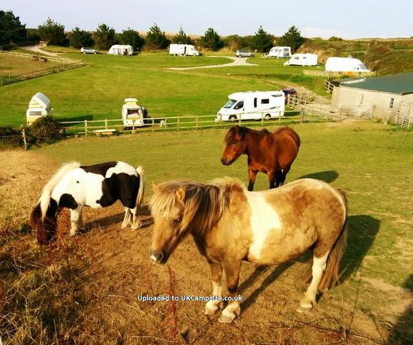
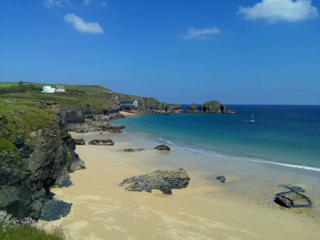
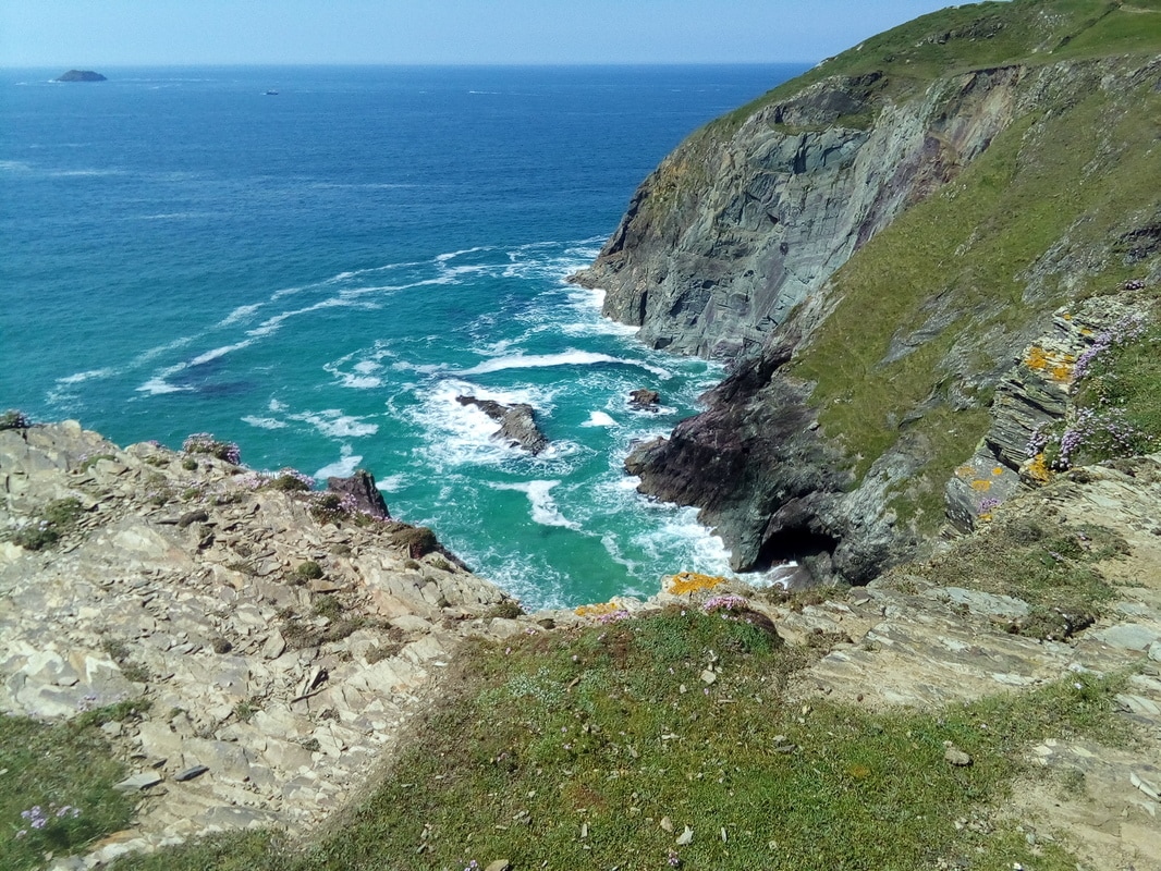
At the southern edge of the airfield I turned inland for a short distance to find my campsite for the night at Cross Coombe farm. When I arrived at the farm I walked in through the wrong gate and as I was trying to find somebody to register me a vehicle drove into the yard behind me. The driver, a young lady, chatted with me and when she realised I wanted to find a place close by for my evening meal she offered to drive me back to Perranporth to buy some food because there were no pubs or restaurants anywhere close by. So off we went to the co-op store so we could both do some shopping. When we returned I set up my campsite, had my meal and tucked up in my sleeping bag. Fortunately I must have done a good job of anchoring down the tarp over my bivvy sack because during the night there was a thunderstorm with heavy rain and strong winds and I was comfortable, warm and dry through it all. Mawgan Porth My goal for this day was Porthcothan but I went past to Whitestone Cove where I turned inland to find a hotel and campsite that I had found on the Ordnance Survey map. The walking was enjoyable as the weather was sunny and windy, a good combination when you are exerting yourself. It was made even more enjoyable by the views along the way of rocky coves and lots of surfing beaches. The lifeboat station at Mother Ivey's Bay near Harlyn. Trevose Head Surfing beaches near Treyarnon Bay. When I walked up from the coast path to where I expected to find the hotel and camping site all I could see was an abandoned building surrounded by overgrown fields. Fortunately it was also the site of the Carnewas Point National Trust property with a tourist shop and information centre. It was just about to close when I went in to ask where the hotel was and the two ladies told me it had been closed for some time. When they realised that I had intended to stay in the campsite there one of the ladies offered to drive me to a campsite in Mawgan Porth where I would be able to stay for the night. The campsite was Magic Cove Touring Park, an RV park, but the owners gave me a spot on the grass in between the office building and one of the RVs. The hospitality of the other occupants was amazing - one couple invited me in the have tea and biscuits, in the morning another couple invited me in for tea and toast and a third person drove me to Holywell Bay to start the next day's walk. And in addition to all of this, the park owners donated my campsite for the night.
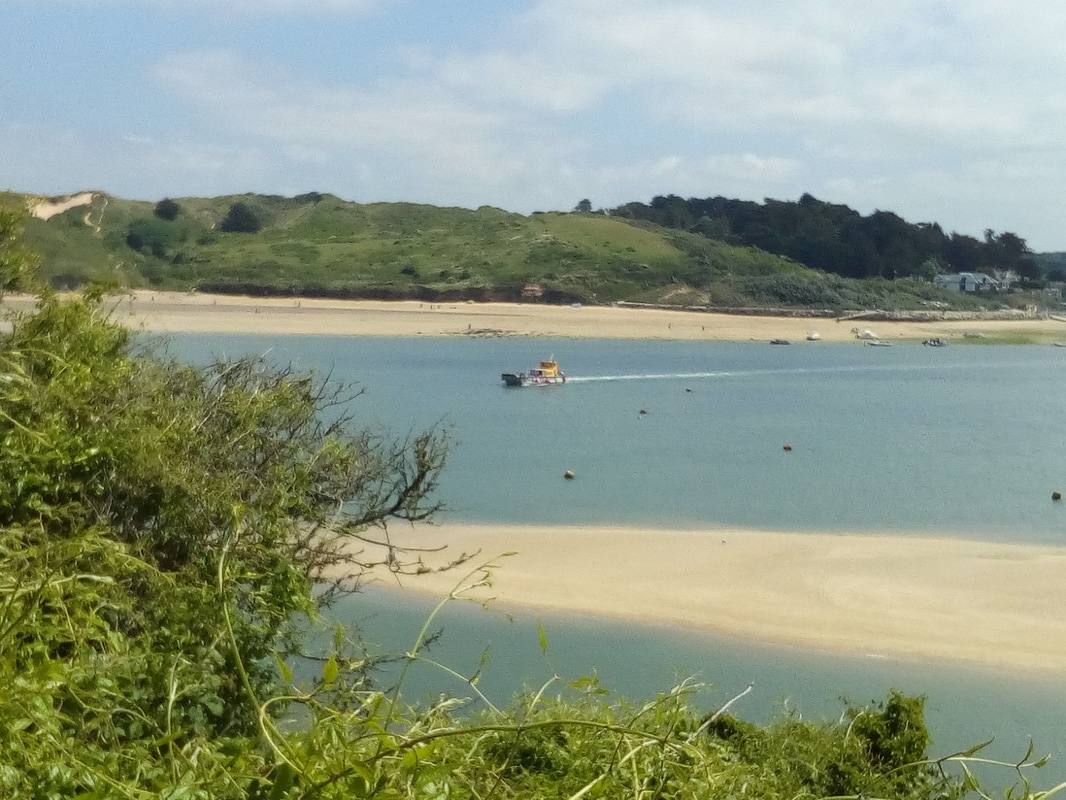
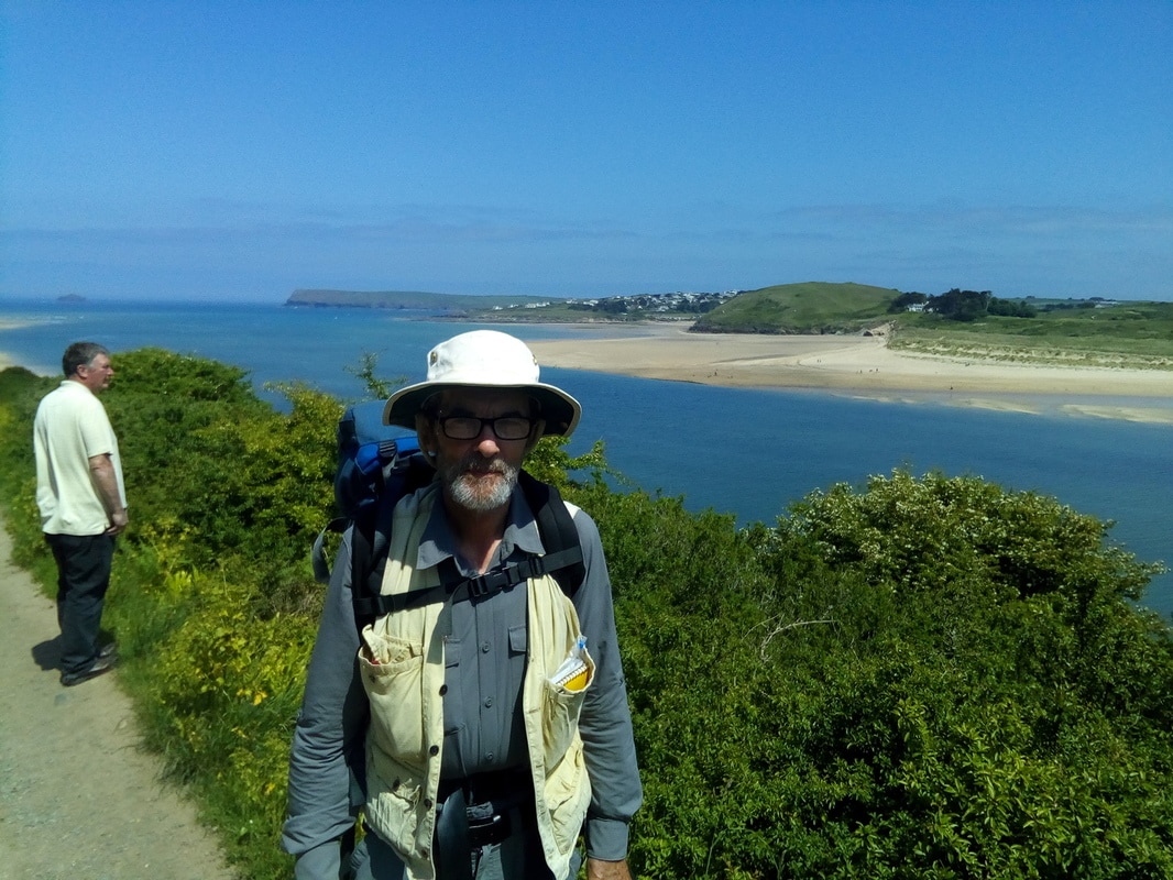
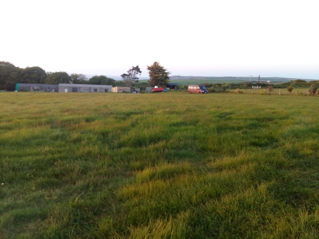
Harlyn My destination goal for this day was Trevone but after my rest I felt so good I went past Trevone to Harlyn. The first part of the hike today took me to Rock on the east side of the River Camel estuary. From there I took a ferry to the west side of the estuary just outside of Padstow. The ferry from Rock to Padstow. As you can see, the weather was really good. Lots of sunshine and a sea breeze to keep the views free of sea mist. The rest of the hike was really enjoyable and the coast views were at their best. When I got to Harlyn I ate my supper at a local hotel/pub/restaurant/surf shop. When I asked about local campsites they sent me to Permay Farm where I camped for the night with only one other holiday caravan in the field. A very basic campsite but perfectly adequate. In the morning there was an incredible dew and it took at least an hour to dry my bivvy sack, tarpaulin and sleeping bag by hanging them on the fence to dry in a strong breeze. The farmer donated his camping fee to Hazel's Heroes. Me by the Camel estuary. Permay Farm campsite
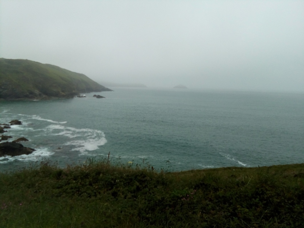
Polzeath Martin drove me back to Port Isaac so that I could continue with my walk from where they had picked me up. My goal was to stay at a campsite right by the path on the west side of Polzeath but when I got there it was an upscale caravan site that did not take tents. As a result I went to The Valley Campsite where I found genuine Cornish hospitality. The owner donated my camping fee and my supper and gave me an undertaking that he would provide some of his holiday rental caravans (trailers) free of charge for a retreat in the off season. The hiking was in a grey day with the occasional drizzle and the low cloud meant there were no inspiring views. Port Isaac is the village where the TV show "Doc Martin" is filmed and they were filming when I got there. The whole area down by the harbour was cordoned off and film crew security were preventing anybody from passing through. Of course there were lots of visitors milling around hoping to catch a glimpse of the actors and the action. I had to wait for a few minutes before they begrudgingly allowed me to proceed along the road up the hill out of town. When I was part way up the hill I was stopped again but allowed to proceed when I promised I would leave the village as quickly as possible. Unfortunately I was too interested in getting out of town so I neglected to take any photos. A grey day: grey sky, grey sea, black cliffs.
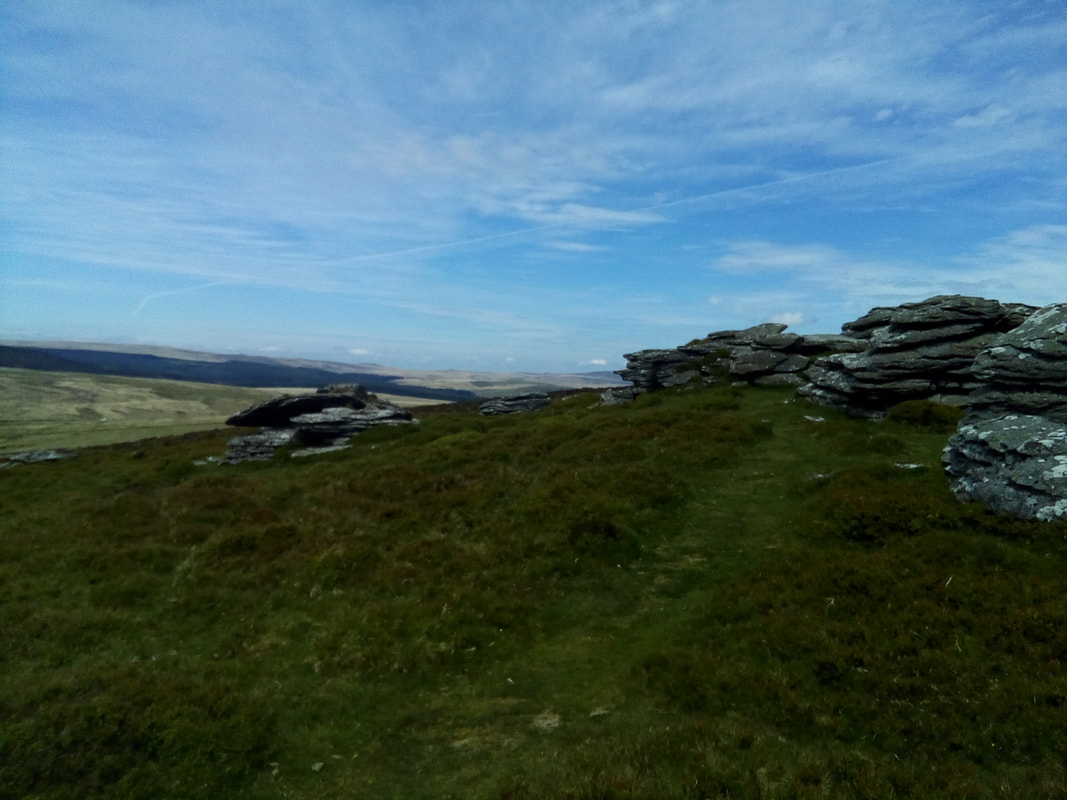
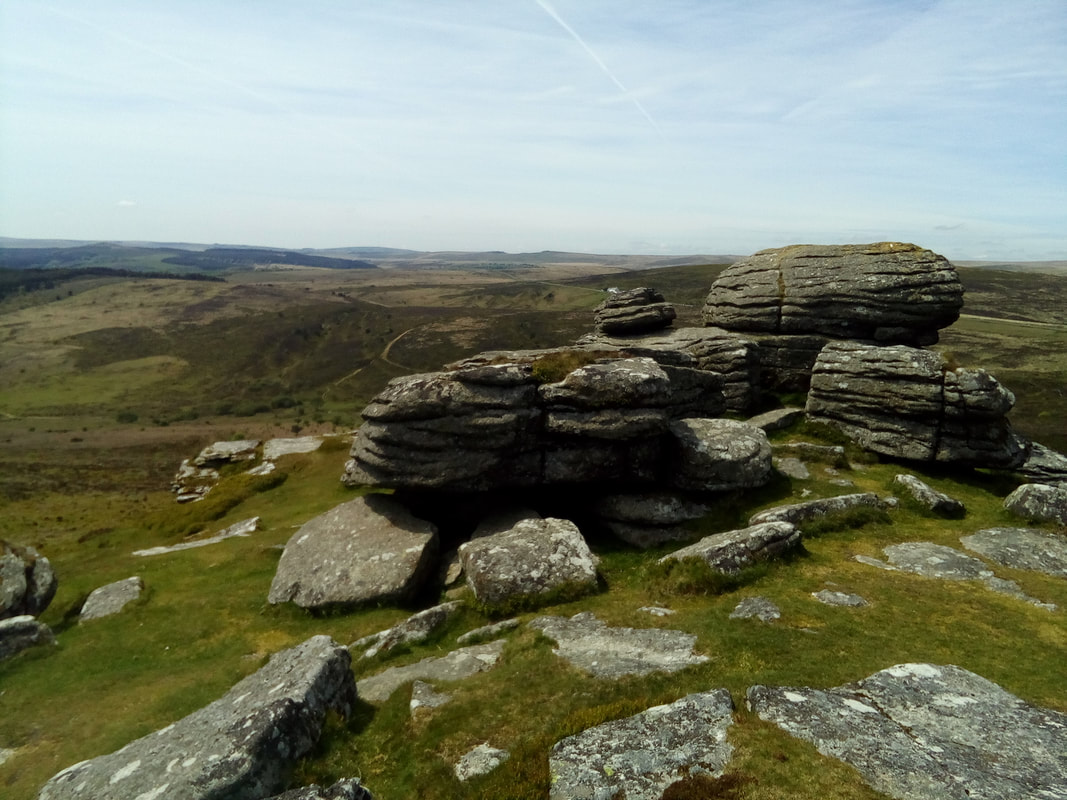
I spent two nights in Chagford visiting with my cousin, Vivienne and her husband, Martin and enjoyed some much appreciated r & r. I really enjoyed my visit in Chagford. It meant I could see their new home for the first time and catch up with family news. Chagford is on the northern edge of Dartmoor National Park and their house has a view over a pasture to the edge of open moor land. In the spring the pasture had new born lambs running about, a view that Vivienne said she enjoyed. I had a chance to spend some time with Martin talking about his artwork and to discuss my issues with breaking out from my shackles of realism into a more representational style that allows an expression of emotion. On the second day of my visit Martin and I took the dog for a walk on Dartmoor and then went to a pub on the moor where Vivienne met us for a beer and lunch. Martin has a love for Dartmoor which I would share if I lived in the UK. It is an almost magical place which draws you back time after time. I can't remember any of our many visits to Devon when I didn't make a point of driving and walking in Dartmoor. Birch Tor (I think).
|
Hazel's PoppaI'm a grandfather who lost an infant granddaughter and who wants to help Gillian, her mother, provide support for other grieving parents through Hazel's Heroes. Archives
April 2020
Categories |
Proudly powered by Weebly


 RSS Feed