Change of Plan
Up until now I have written the accounts of my trips as a blog but I have just realized that, unless a blog is followed as each entry is posted, there is little incentive to scroll down to the earlier posts. As a result I am following the example of David Walsh (www.masarnenramblers.com) and writing this account like a long diary entry starting at day one and ending at my return to Jasper. I'll add to the page as I complete the entry for each day so the complete record of the walk may take a while to complete. Hopefully the suspense of waiting for each new entry will help to keep you interested and you won't have to read the whole account in one go.
Another change was caused by CoVid. Because my Brother and I had to cancel our trip to Italy in 2020 I was left with a WestJet travel credit that required a reservation to be made by December 31, 2021 for travel in the following twelve months. As a result Peter and I decided to walk the Coast to Coast walk in the north of England in September 2022.
Another change was caused by CoVid. Because my Brother and I had to cancel our trip to Italy in 2020 I was left with a WestJet travel credit that required a reservation to be made by December 31, 2021 for travel in the following twelve months. As a result Peter and I decided to walk the Coast to Coast walk in the north of England in September 2022.
Planning Ahead
As my wife, Jenny said, I finally got smart. Instead of doing all of the planning myself I decided to make a reservation with one of the many walking tour companies that provide intineraries and guides for the Wainwright Coast to Coast walk from St. Bees, Cumbria to Robin Hoods Bay, North Yorkshire. By doing this I avoided the problem of finding accommodation that I experienced on my Southwest Coast walk. After looking at Dave Walsh's website and asking him about the Coast to Coast walk (C2C) I followed his advice and reviewed several walking tour companies before picking Northwest Walks Walking Holidays (northwestwalks.co.uk) as our tour company. Once I had booked our flight reservation I contacted Northwest Walks and started the process of booking our self guided tour package. We chose an eighteen day walking and nineteen nights of B&B accommodation tour which included luggage transfer between each B&B. So now we were committed.
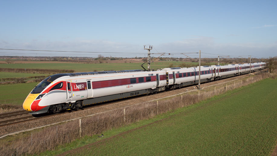
Another advantage to planning ahead is the opportunity it provides for researching your UK travel plans and taking advantage of the advance booking discounts available on most UK train routes. The obvious route from London to St. Bees was travelling on Avanti West Coast at a cost of £98. That seemed rather expensive for an advance fare so I decided to check for alternative routes. With a little research I found I could travel on a LNER route to St. Bees via Newcastle and Carlisle for £40 less. Not only that, but I would be travelling on an Azuma train.
Another advantage to planning ahead is the opportunity it provides for researching your UK travel plans and taking advantage of the advance booking discounts available on most UK train routes. The obvious route from London to St. Bees was travelling on Avanti West Coast at a cost of £98. That seemed rather expensive for an advance fare so I decided to check for alternative routes. With a little research I found I could travel on a LNER route to St. Bees via Newcastle and Carlisle for £40 less. Not only that, but I would be travelling on an Azuma train.
Day 1, Sept 8 - London to St. Bees
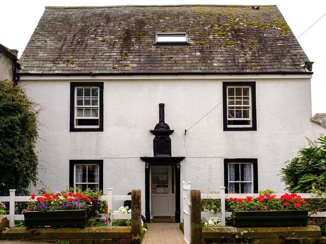
Catching the LNER train at 10:00 meant an early start from my brother-in-law's (Tony) to Northwick Park train station to travel on the Metropolitan Line to Kings Cross station. I arrived at Kings Cross with plenty of time to find my seat on the train and we left the station at exactly 10:00. The journey to Newcastle was uneventful and the transfer to the Northern Rail train to Carlisle went without a hitch. Things were not so smooth for the final leg from Carlisle to St. Bees. As I was looking at the departure display there was an announcement that my train to St. Bees was cancelled but a later train would be available that was terminating at Whitehaven and alternative travel would be provided to the destinations of ongoing passengers. So I arrived at St. Bees much later than planned having travelled from Whitehaven to St. Bees on a posh, modern coach. After a short walk from St. Bees railway station I arrived at Stone House Farm where I met up with my brother, Peter.
Day 2, Sept 9 - St. Bees to Cleator
When the alarm woke us up we got out of bed and started the day by sorting out our backpacks and our suitcases before going down to the dining room for breakfast. The breakfast menu was the typical B&B menu that we were to find at all of our accommodation for the next 18 days.
Stonehouse Farm Breakfast Menu
"Start your day off with a full English breakfast.
Fruit juice, cereals, porridge or muesli, fresh orange or fresh fruit.
Full cooked breakfast, sausages, rashers of back bacon, local free-range chicken eggs, mushrooms, grilled tomatoes
Toast with marmalade or jam."
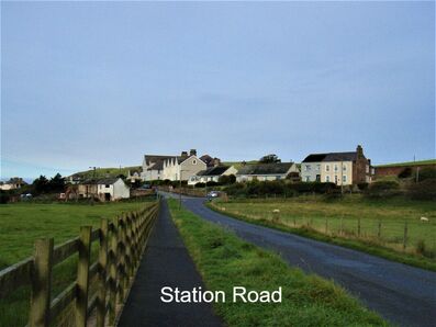
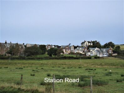
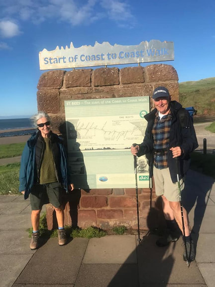
Once breakfast was over we started out on the first day of our walk. After a little bit of confusion and several references to the GPS route on my Memory Map app we found our way along Station Road and Beach Road to a park near the beach where a sign told us we were at the start of the Wainwright Coast to Coast walk. I didn't take a picture of the sign as we walked by but Liz and Howard did, so here it is. Liz and Howard started the C2C walk on the same day as Peter and me but we didn't connect with them until a few days later. After that initial contact, as you will see, we shared many miles together.
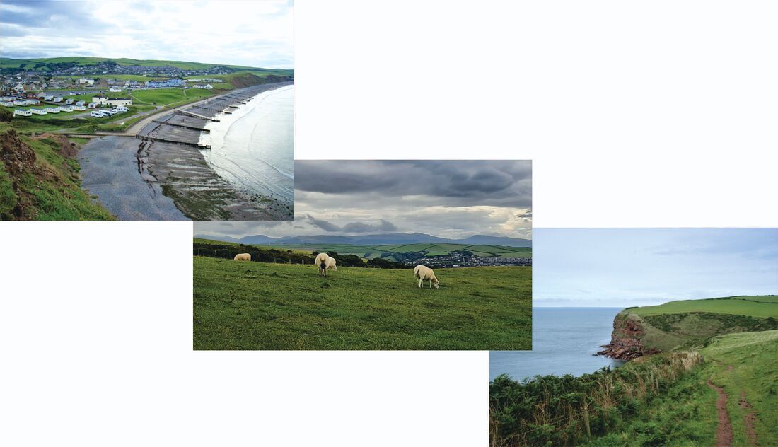
After we had walked past the caravan park and crossed the bridge over Rottington Beck we started to climb up the headland overlooking St. Bees.
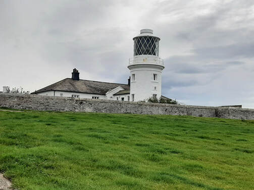
As we climbed the slope and looked back we had a panoramic view of St. Bees village and the beach where we were supposed to pick up a pebble to take with us to Robin Hoods Bay. Not being traditionalists we chose not to bother with the pebble. At the top of the climb the land levelled and the path passed by pasture where sheep grazed happily ignoring us a we went by. The level path continued until we reached the gulley below the cliff you can see in the picture where we descended inland for a short distance before climbing back up to the cliff top on the other side. If you look at the background picture in the title at the top of this page you will see the path leading to the lighthouse on the horizon. St. Bees lighthouse, which stands on North Head, is the highest in England at 102m above sea level and was first opened in 1718 and was automated in 1987.
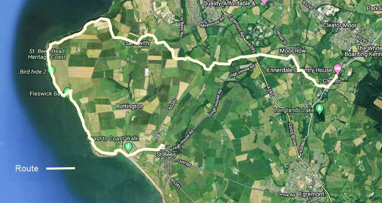
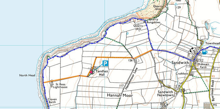
When Wainwright established the route for his Coast to Coast he wrote "some walkers may choose to vary it in places, either to make additional detours or to short-cut corners...." "Such personal initiatives are to be encouraged as long as they do not involve trespass." After looking at the route marked on our map we decided to take him at his word and take a short-cut from St. Bees lighthouse cutting off the cliff walk on the way to Sandwith and shortening the walk to Cleator. The short-cut we took is marked on the map below in orange.
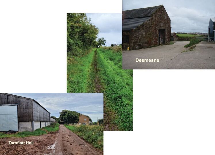
After we rejoined the C2C route we continued on along a mix of public footpaths, country lanes and minor roads. As we followed the route we were surprised to find that the public right-of-way took us through three farmyards - Tarnflatt Hall, Desmesne and Bell House. We also passed through two villages, Sandwith and Moor Row before arriving at Cleator close to 3:00pm.
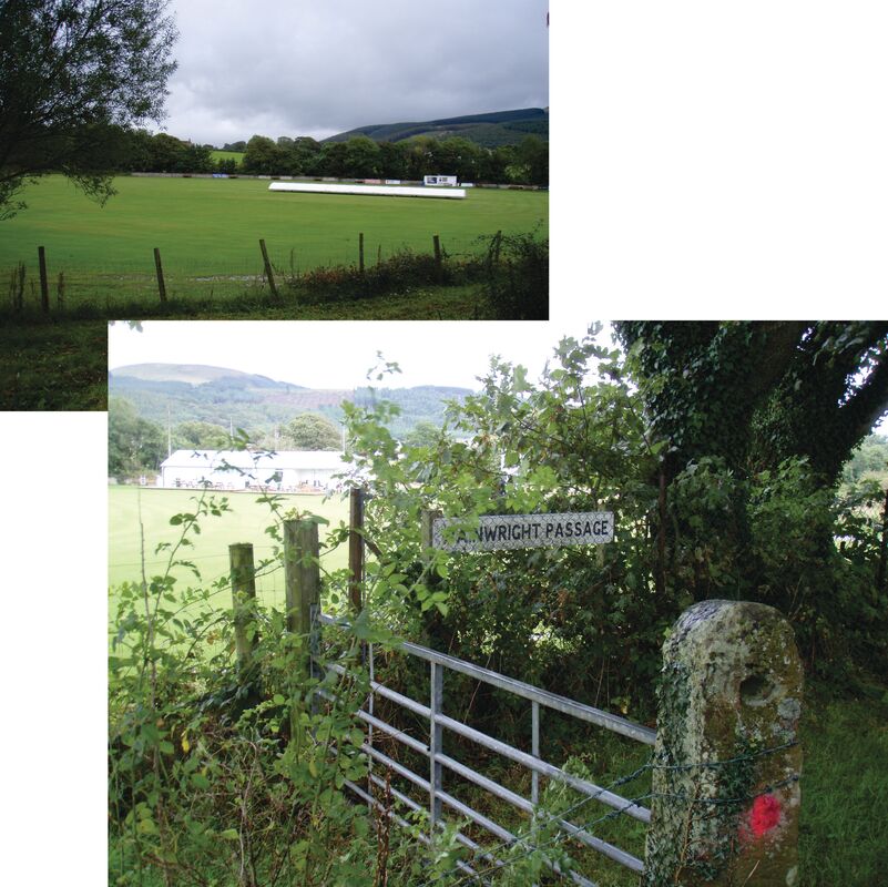
Just as we were approaching Cleator we walked by their cricket ground and we noticed a reassuring sign that confirmed that we were on the on the right track.
Our stay for the night was in Ennerdale Country House, a Grade 2 listed mansion with a expansive, well kept garden. Unfortunately the guest service was lacking probably because the lack of staff meant the front desk person had to double as the bartender and lounge waiter. As a consequence all of the staff seemed tired or disinterested. When we were leaving in the morning we noticed our bag lunches were missing the fruit that was supposed to be included. When we asked about this we were simply told they had no fruit and no explanation or compensation was offered. The staffing problems were probably a result of Brexit and CoVid causing a shortage of employees across all of the UK.
Day 3, Sept 10 - Cleator to Ennerdale
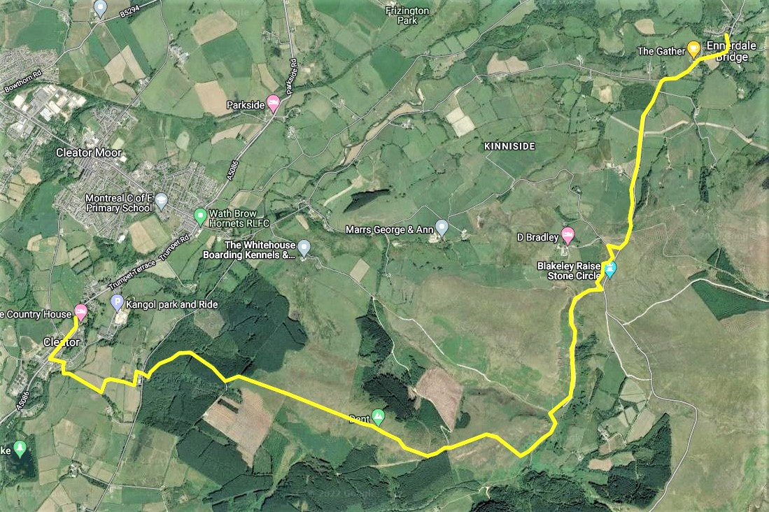
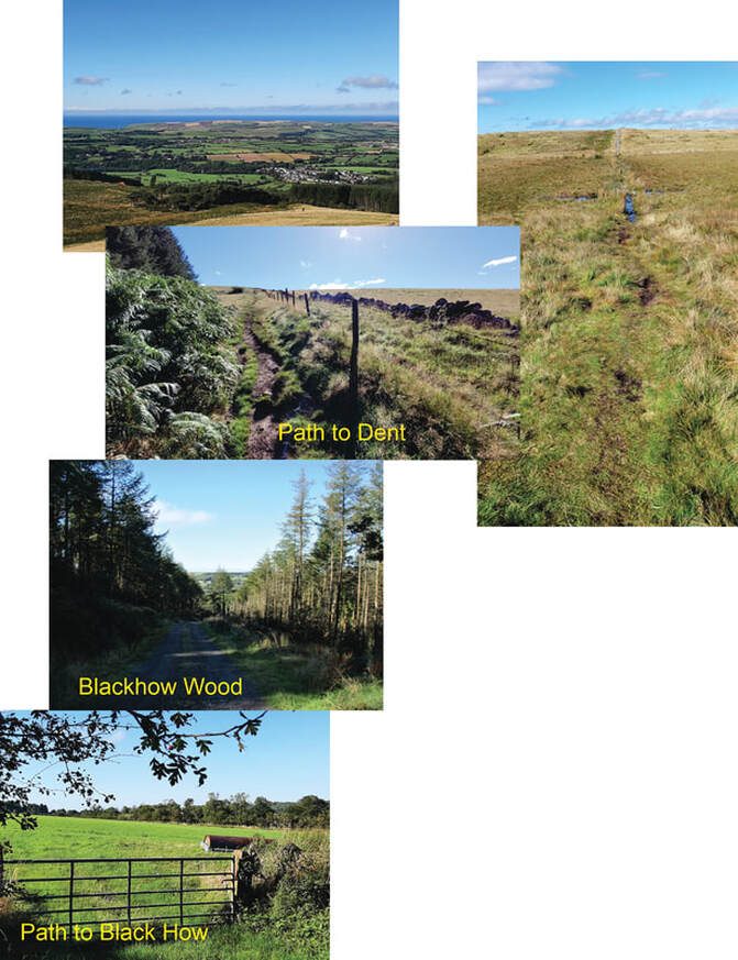
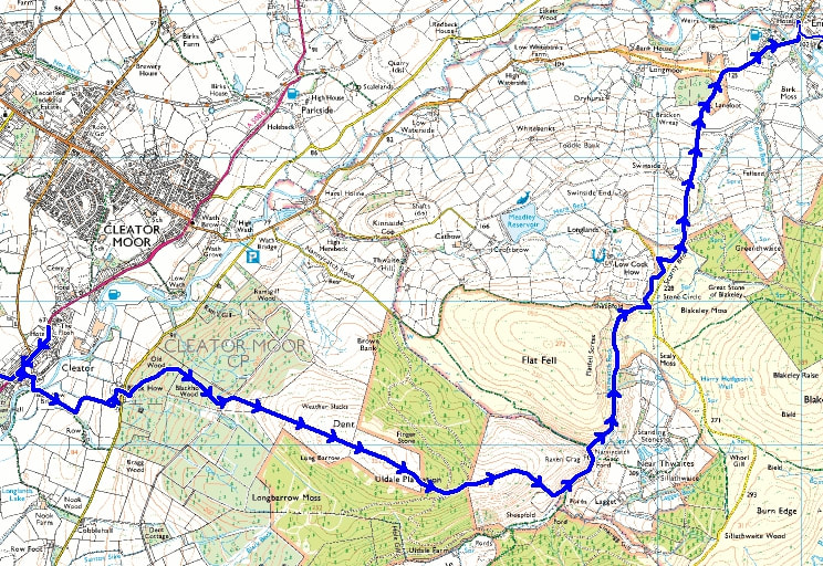
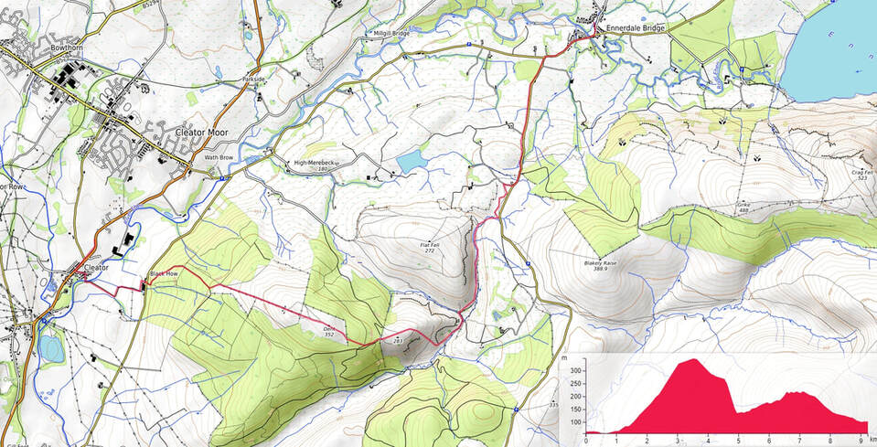
The walk from Cleator to Ennerdale was only 6 miles (9.7km), much shorter than the previous day. It may have been shorter but it turned out to be an introduction to what was to come in many of the days to follow. The first part of the route was across Blackhow Bridge and then easy walking through farmland until we reached Black How. From Black How we started to walk uphill along a forestry road through Old Wood and Blackhow Wood. When we looked back along the road in Blackhow Wood we started to see the view back towards the coast framed on both sides by the trees on either side. Once we left the east edge of the woods we started the climb up to Dent summit. Looking back as we walked up the path the views west to the coast became increasingly impressive. The route from Cleator to Dent meant an elevation change from 55m (182ft) at Blackhow Bridge to 352m (1155ft) at the highest point before we started to descend through Uldale Plantation to Nannycatch Gate. Whilst it was only a moderate slope it was enough to let us know that the Coast to Coast walk was not going to be a stroll in the three parks. Some effort was going to be required.
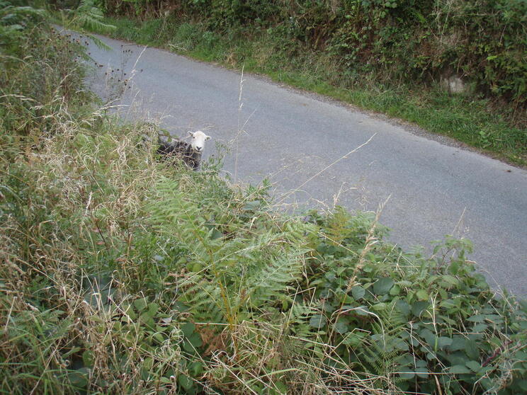
Another test was about to come our way. As we left Uldale Plantation and continued our descent towards Nannycatch Gate we had to negotiate a very steep slope down into the Kirk Beck valley below. Fortunately I have always preferred steep downhill to steep uphill so I enjoyed bounding down like a mountain goat. Unfortunately Peter prefers uphill to downhill so he didn't enjoy going down the hillside at all. Once we reached the bottom we followed Nannycatch Road along Nannycatch Beck past Flatfell Screes bypassing Blakeley Raise Stone Circle until we reached the cattle grid shortly after joining the paved road at Scarny Brow. We had been warned that we should be careful not to miss the entry to the footpath just to the left after crossing the cattle grid and we followed this advice and started along the path that followed beside the road. The road wasn't too busy which was fortunate for the sheep that was strolling along browsing in the hedgerow.
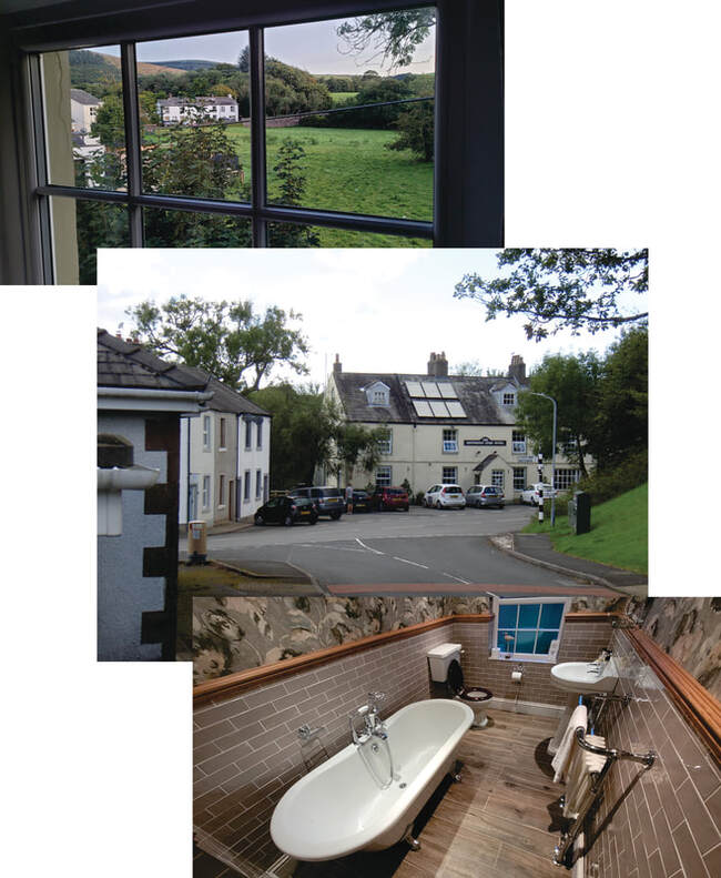
We continued along the footpath on the left hand side of the road until we reached Lanefoot where we crossed to the footpath on the right hand side until we came to the corner where to road turned towards Ennerdale Bridge. From there it was a short walk into the village where we were spending the night in the Shepherds Arms Hotel. We may not have had an ensuite bathroom but Peter felt our private bathroom was worthy of recognition.
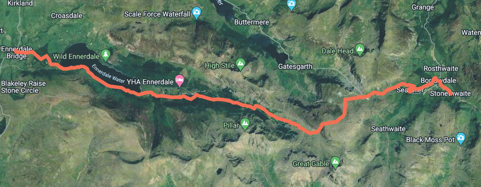
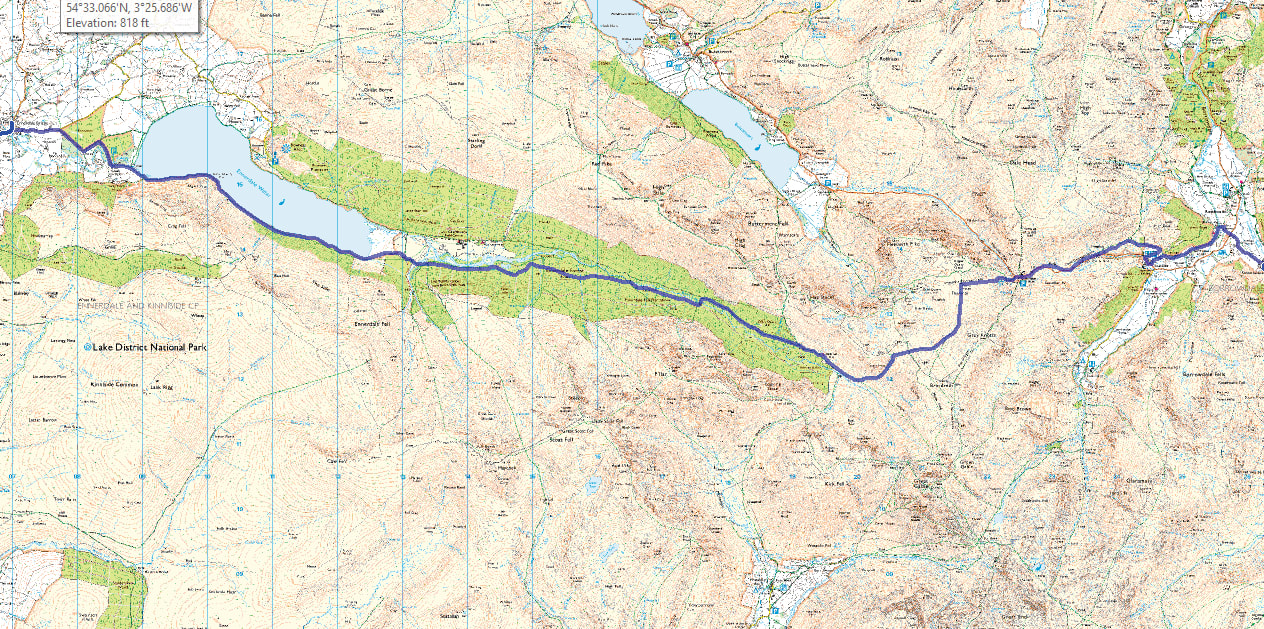
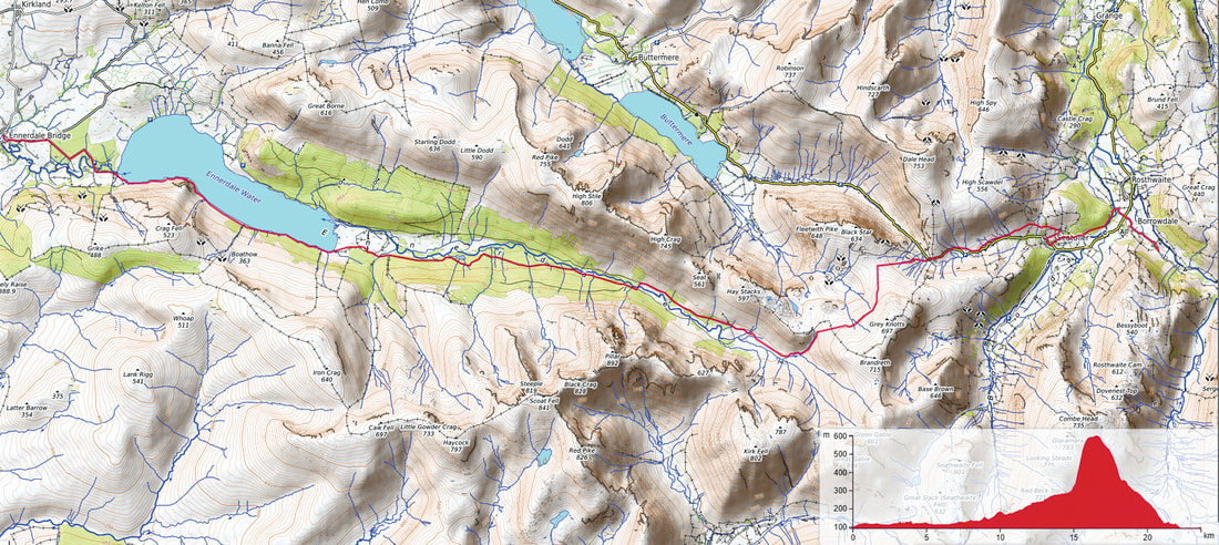
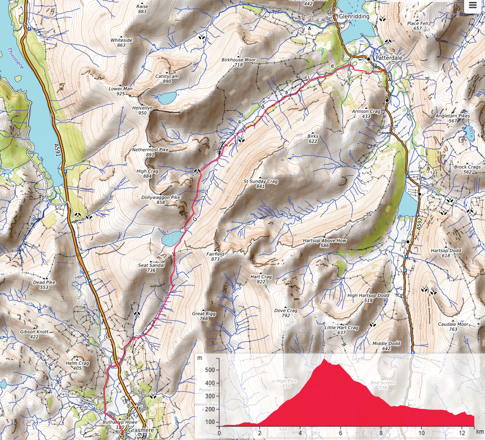
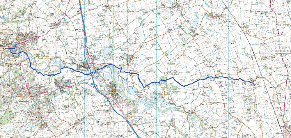
I have provided three different maps because each have there strengths and weaknesses. Obviously the map at the top is the Google satellite map which shows our route and the type of landscape we were travelling through. The second map is from the UK Ordnance Survey and it shows the roads, communities, geographical features, historic sites etc. and, most importantly, pubs in great detail. The map below is from OpenTopoMap and I like how it provides an uncluttered portrayal of the area with good contour shading and an elevation graph for the track marked on the map. The route for this day's walk is marked as a red track.
Day 4, Sept 11 - Ennerdale to Rosthwaite
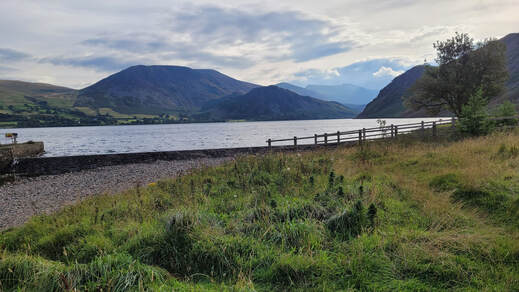
Our walk today was the first of the two longest days; 14 miles (22.5km) if we completed the whole route to our next B&B. Those of you who have followed my Southwest Coast Path walk will remember my meeting up with Dave, Angie and Fudge (the Spaniel) Walsh. Prior to starting on this walk I contacted Dave for his advice and he told me that he guides on the C2C walk and he would like to join me on a couple of days. Well this was one of those days. We met up with Dave and Fudge around 09:00 and started our walk along Ennerdale Water.
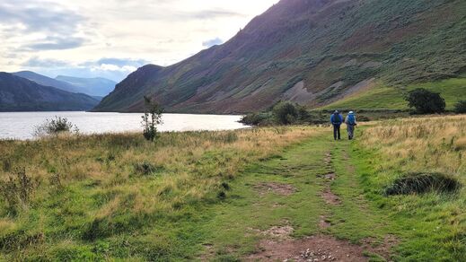
The weather as we started was ideal hiking weather; blue sky with just enough cloud to keep the temperature comfortable. At this point I had stopped to take pictures so Dave and Peter were ahead of me and that gave me the opportunity to get a picture of them on the path. When we reached the dry stone wall you can see in the distance the wide track we had been walking along changed into a narrow trail close to the side of the lake.
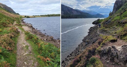
The trail continued along fairly level beside the lake- shore but became more rocky as we approached Anglers' Crag and Robin Hood's Chair. When we reached the rock bluff at Robin Hood's Chair, Dave told us we should take the high path rather than the path by the lake because it was easier and safer. It still was a bit of a scramble but we made it past OK.
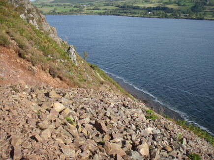
The scramble around Robin Hood's Chair was rocky with scree slopes down to the lake. I think the path in this picture is at the beginning of the climb up the high path to the high point around this crag. It wasn't difficult but there was one place where my short legs had to stretch to their limit to clamber up a narrow rock cleft in the path.
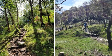
Shortly after we had left Robin Hood's Chair the trail levelled out and we started to walk through a wooded area which continued until we had nearly reached the end of the lake. The path was strewn with some quite sizeable rocks but they were more of a nuisance rather than a danger. However there was one exception. At one point the path narrowed down and there were a jumble of rocks to negotiate. Unfortunately Peter lost his balance, slipped and fell heavily, jarring his glasses hard to one side and causing cuts to his nose and the corner of his right eye.
As Dave administered first aid with items from my first aid kit a
group of fellow walkers came along and offered advice and
assistance.
As Dave administered first aid with items from my first aid kit a
group of fellow walkers came along and offered advice and
assistance.
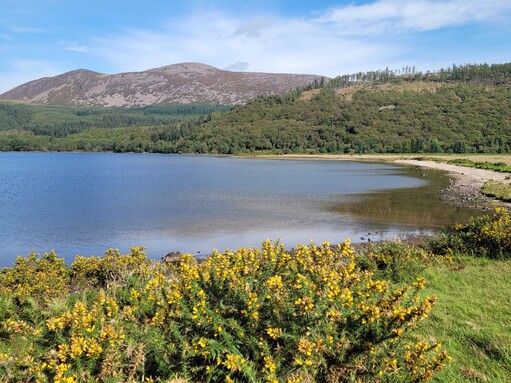
When we reached the end of the lake we decided to take a lunch break and enjoy the achievement of making it this far. By now the weather had changed. The clouds had thinned and there was much more sunshine making it a pleasant opportunity to relax for a few minutes and enjoy the scenery.
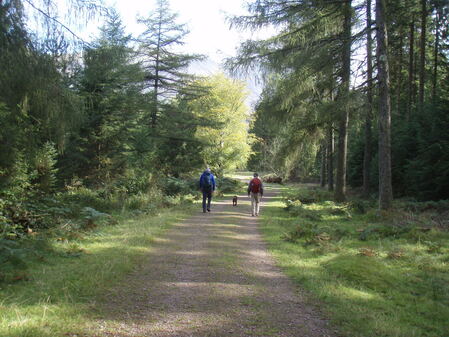
As we left the lake we followed Dave's route along the south side of the River Liza on our way to Black Sail Hut. The route we were taking was along an access road used by the hostel and forestry workers. It was easy going with no steep inclines and a nice even surface. We got going up the valley stopping for a break at the road bridge across the river where we saw two young women having fun in the fast moving water under the bridge. As the water level in the river was so low due to the hot, dry summer Dave said we should keep going up the valley after our short stop, past the bridge we would normally use, to the ford just below Black Sail Hut. We reached the ford, crossed over and walked the short distance remaining to the hut.
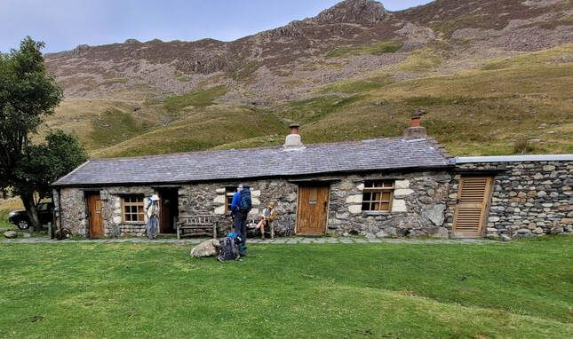
BlackSail Hut.
Black Sail Hut is the most remote YHA hostel in the UK. It was originally a shepherd's bothy and has been a hostel since 1933. It is well used because the C2C path passes right by the front door and it provides access to many popular fell walks. While we were there several of the hikers we had met along the path were either there or came along before we left. Definitely a unique hostel set in an amazing location.
Black Sail Hut is the most remote YHA hostel in the UK. It was originally a shepherd's bothy and has been a hostel since 1933. It is well used because the C2C path passes right by the front door and it provides access to many popular fell walks. While we were there several of the hikers we had met along the path were either there or came along before we left. Definitely a unique hostel set in an amazing location.
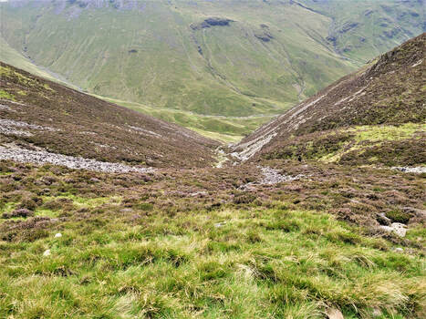
From the hostel we started the steep climb up the valley following Loft Beck. It's always difficult to take a picture that shows how steep a climb really is but this does give some indication. As we climbed up the path the weather started to change and before we had reached the top it had started to rain and blow. We had been lucky so far but now it was time to check out the ponchos that Peter and I had chosen as our raingear. Fortunately we had made a good choice and we both kept dry to the end of our walk.
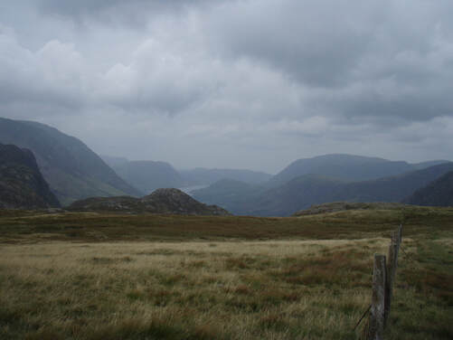
When we reached the top of the shoulder between Black Sail Hut and Honister we had to walk across an expanse of open moorland with full exposure to the wind and rain. Our ponchos flapped in the wind but they still kept us and our packs dry. Once we started to descend to Honister the wind and rain eased which made the final distance to the parking lot less unpleasant. We had been very lucky with the weather until now. Where we had been walking is well known as the wettest location in the UK.
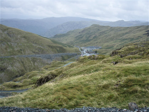
The final stretch of the day's walk was down to the disused tramway and following it to Honister in the valley below. You can see the line of the tramway across the valley. Honister has been a source of slate for hundreds of years with the first confirmed record being 1643. As we approached the buildings and the car park we met Angie who had come up to meet us. It was still raining when we reached Dave's truck in the car park so Dave asked us if we wanted to continue walking to Rosthwaite or get a ride to our B&B. We opted for the ride but Dave continued walking while Angie drove us to Langstrath, our B&B. The end of a challenging and mostly enjoyable day.
Day 5, Sept 12 - Stonethwaite to Grasmere
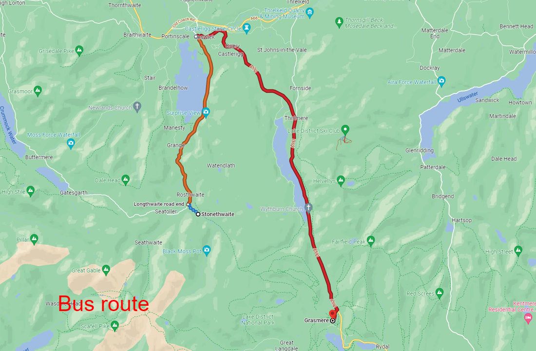
The hike today was supposed to be 10 miles (16.1km) but information from Dave and the weather forecast caused us to consider our options. Dave told us that the hike from Stonethwaite to Grasmere was uninspiring and would be even less inspiring if the weather was bad. As it had been raining all night and was still raining after we had finished our breakfast we decided to go to Grasmere by bus. With the help of Google Maps we found that we would first have to go to the bus stop at the end of the lane out of Stonethwaite to catch the bus to Keswick where we would change to a bus from there to Grasmere.
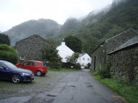
After breakfast we left Langstrath Country Inn and walked almost to the end of the lane when I realized I had left my hiking poles behind. So, back to the B&B to collect them before our second attempt to get to the bus stop. We almost reached the bus stop this time before we saw the bus drive by the end of the lane. The bus schedule showed that the next bus would be along soon so we decided to wait at the bus stop.
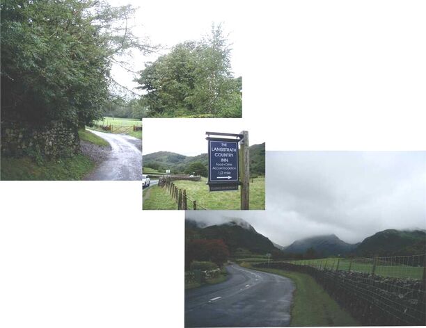
While we were waiting for the bus we took some pictures of the lane from Langstrath and at the corner of the lane. It's clear the weather was wet and cloud - not fun weather to be walking over Greenup Edge and Grasmere Common. With the clouds being so low we would not only have been walking through rain but there would not have been any views to see through the heavy mist. Well that was our excuse anyway.
While we were on the bus I took a video through the front window of the bus and the video is posted below. For the UK folk who are following our progress this video is nothing exceptional, but for North Americans driving a full size bus along narrow country lanes like
this is a real eye opener.
While we were on the bus I took a video through the front window of the bus and the video is posted below. For the UK folk who are following our progress this video is nothing exceptional, but for North Americans driving a full size bus along narrow country lanes like
this is a real eye opener.
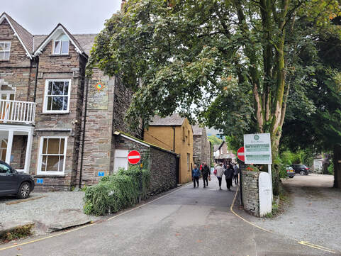
When we arrived at Grasmere we went to the Inn at Grasmere where we would be staying for the night and, as we were too early to check in, we left our backpacks behind the reception desk and went to look for the Co-op shop and the pharmacy. After buying items for our next lunch from the Co-op and toothpaste from the pharmacy we wandered back through the village looking for a place to have a drink and a snack. We were surprised that most of the cafes were closed but after a visit to the bookstore we found Mathilde's Cafe. The choices of food and coffee at this cafe were very good and we took our purchases outside to the patio to enjoy them. Next we wandered around the centre of the village looking in the shops. When we were walking to the bus stop in the morning Peter used his umbrella which I thought was a good idea so I bought an umbrella in one of the stores that we visited.
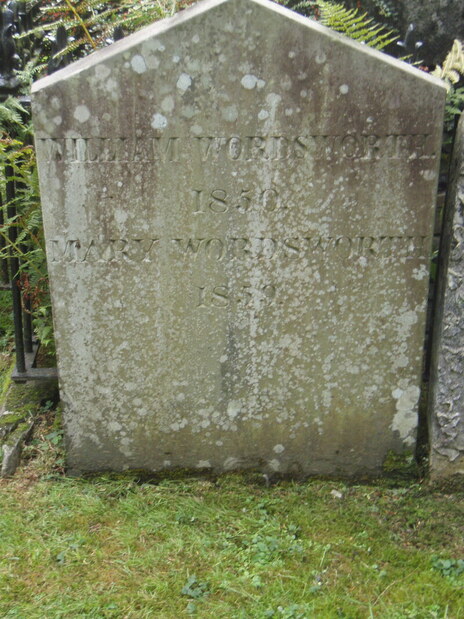
Eventually we walked away from the shops and walked to St. Oswalds Church and looked inside. The church has a very interesting history which you can read about on their website, https://stoswaldsgrasmere.uk/. The churchyard is the home of the Wordworth Daffodil Garden and the location of William and Mary Wordsworth's grave. William and Mary Wordsworth lived in Grasmere from 1799 until 1850 when William died aged 80. Mary lived for another 9 years before being buried in the grave with William. The plain headstone that marks their grave has a simple inscription that you can see in the picture. Many of William's family are buried in the neighbouring graves.
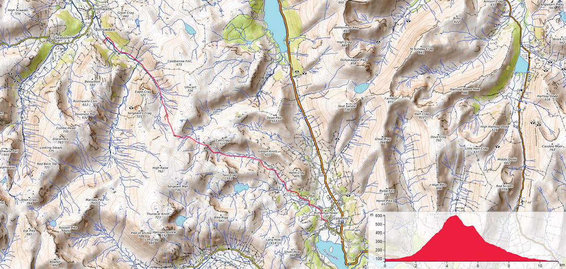
The map below shows the route we would have followed if we had chosen to walk. The walkers who did walk today said it was dreary and damp with heavy mist obscuring any views they may have enjoyed. Confirmation that riding the bus was a good decision.
Day 6, Sept 13 - Grasmere to Patterdale
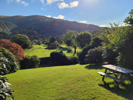
We had already anticipated that this was going to be an easy day because, even though the guide notes said it was a strenuous walk, it was only 8 miles (12.9km). When we started out at 09:00 the blue sky and warm sunshine made it seem that the day would be not only easy but also pleasant.
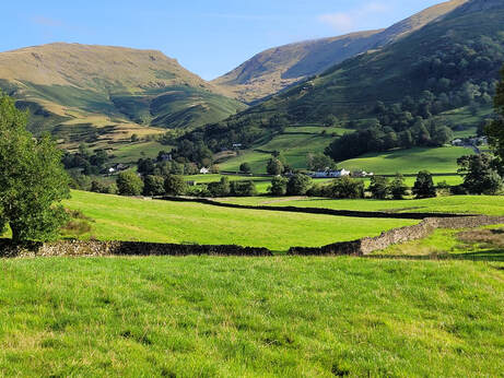
The first half hour was a gentle walk across the River Rothay valley before starting a gentle climb up the start of Tongue Gill. The path followed the edge of the farms and their fields in the valley bottom and with the clear sky and bright sunshine the scenery was idyllic.
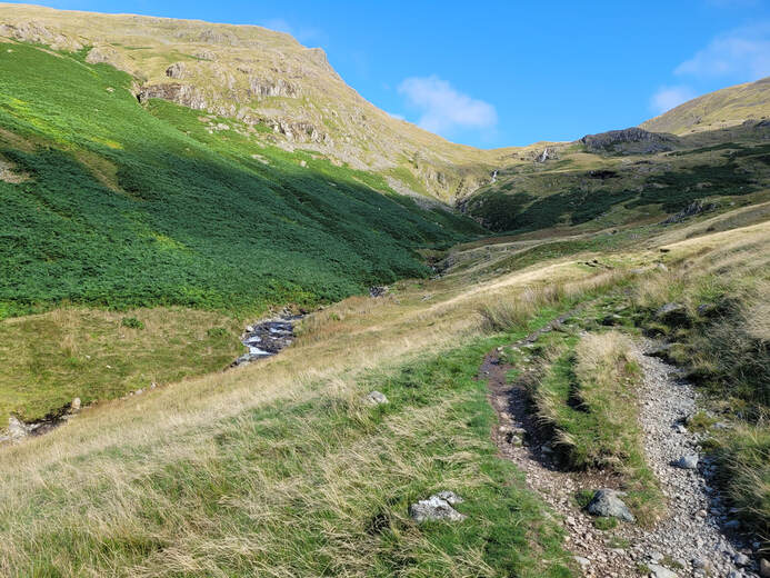
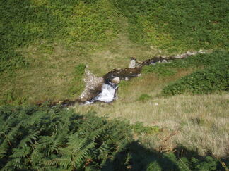
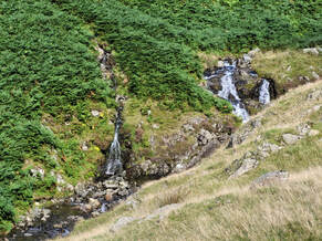
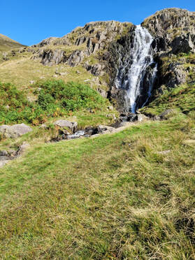
The path at this point was climbing steadily uphill and was still easy to walk without too much exertion. Ahead of us when we looked up the valley we could see two more waterfalls that were obviously more dramatic than the small ones we had just passed. It was clear that getting to these waterfalls was going to mean some steeper walking.
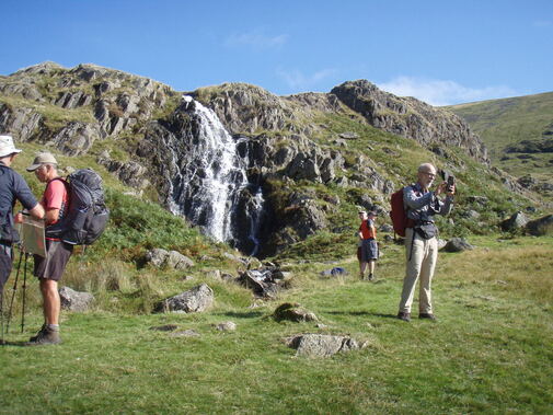
The waterfall was a spot where most walkers paused to enjoy the scenery and to take a short break after the climb up the valley. It was here that we were reacquainted with several of the walkers from the UK, the USA and Canada that we had met along the path. The person on the right taking a picture is my brother, Peter.
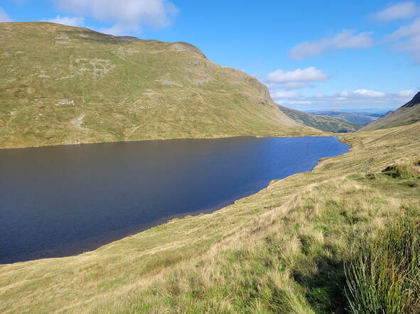
From the waterfall we continued to climb up another 426' (130m) to Hause Gap, the pass through Grisedale Hause. "Hause" is from North Scotland and Northen England and is defined as "a col, a lower neck or ridge between two peaks: a mountain pass." Once we were through the gap we had a gentle descent to Grisedale Tarn. The view into the distance from the tarn shows the direction we were headed for the day and there is even a glimpse of Ullswater, the lake by our destination, Patterdale.
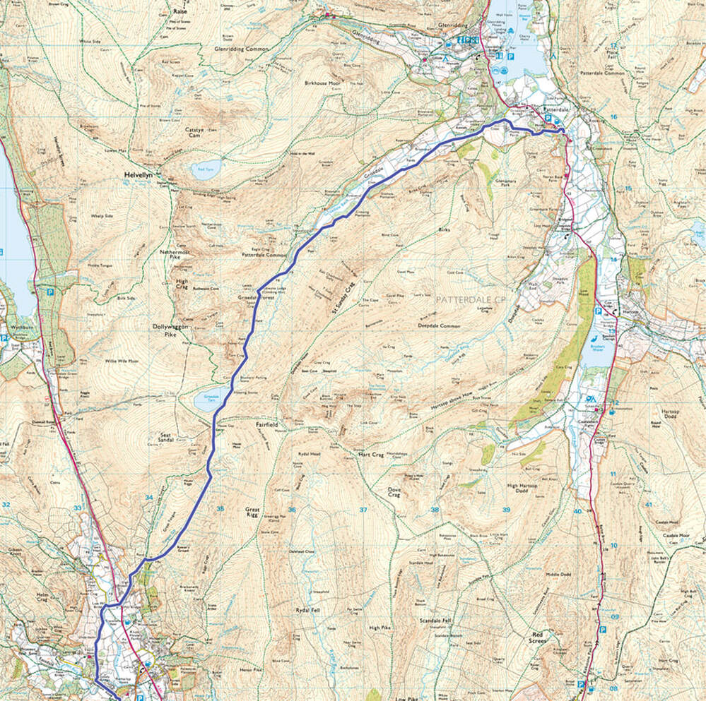
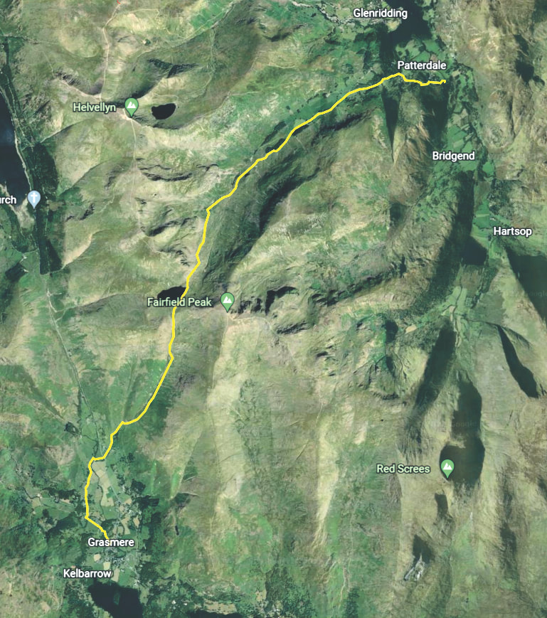
This is a good time to show the satellite image that provides an idea of the topography along the route we were following.
The tarn in the previous picture is the dark patch under "Fairfield."
The tarn in the previous picture is the dark patch under "Fairfield."
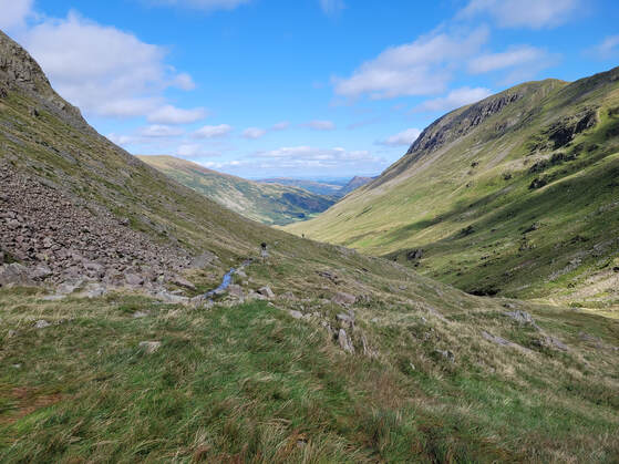
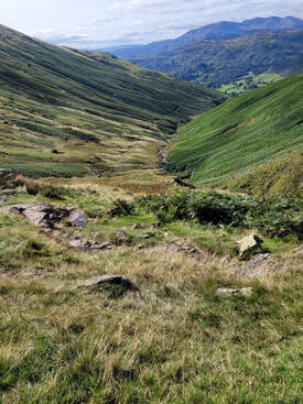
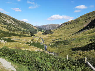
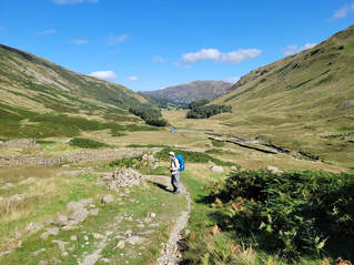
After we left Grisedale Tarn we started the long descent down Grisedale following the path along Grisedale Beck. The path was well defined but it was quite wet in places. If you look closely you can see water on the path behind the two walkers disappearing into the distance. Prior to our walk the Lake District had experienced an unusually long period of dry weather which made me wonder how much wetter the path would be normally.
|
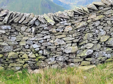
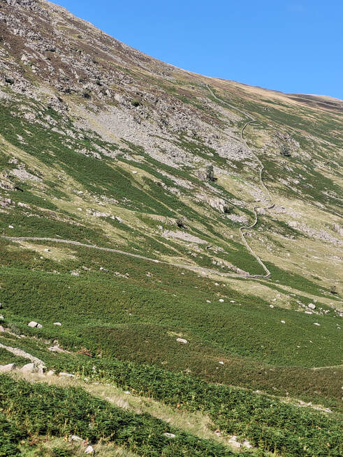
Once we started to walk through the Lake District National Park we often walked along, crossed over and sheltered beside the many dry stone walls that criss-cross the hills and valleys along our route. These walls were built over the ages to define property ownership and to divide hill farms into grazing areas for the sheep so they were easier to find and herd when they needed to be brought back to the farmyard. The hill farmers throughout the Lake District, the Yorkshire Dales and the Yorkshire Moors will often still maintain these walls. When I saw how a wall is constructed and then saw walls snaking up the hillside like the one visible in this picture, I was in awe of the tenacity of the generations of farmers that had farmed these lands. |
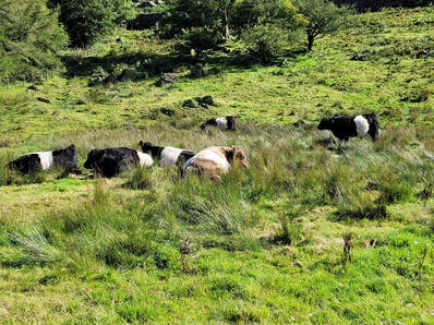
Looking back up Grisedale Beck towards Nethermost Pike and High Crag. While we walk in the hot sun the locals enjoy an afternoon nap. The walk down Grisedale to Patterdale was along a track used by the farmers and the park employees until we reached Thornhow where it became a paved lane into the village.
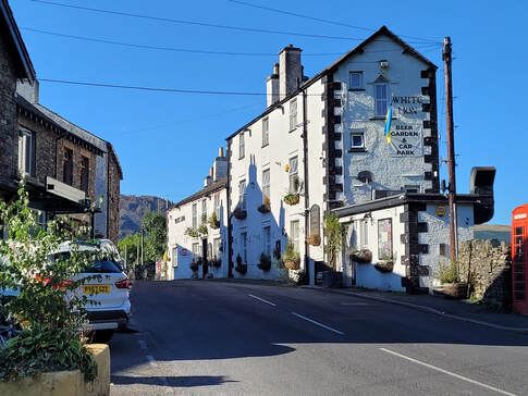
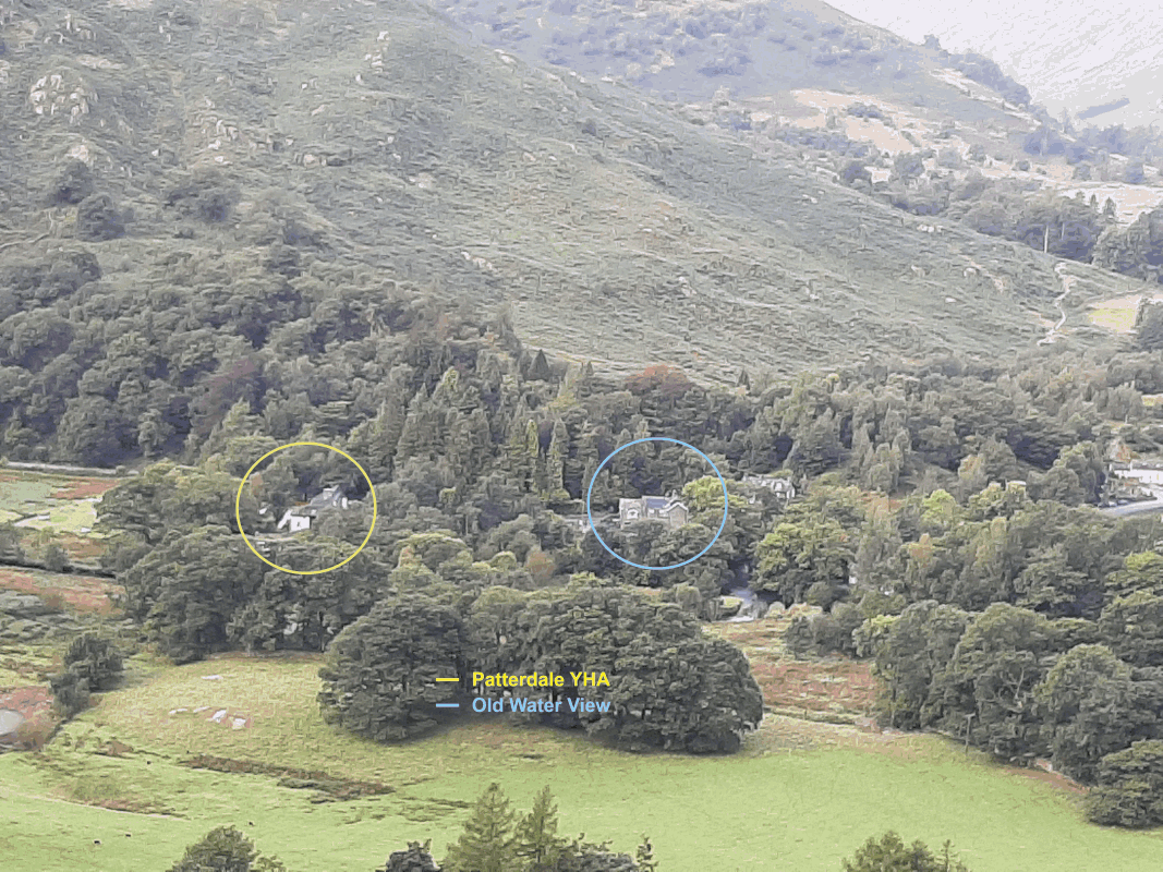
As we walked through Patterdale on our way to Old Water View we went past the White Lion where many of our fellow walkers were staying for the night. We had to continue for approximately another 400m down the narrow road until we reached our accommodation. Old Water View is a small hotel/B&B with a bar that serves both an outside patio and an inside lounge. Peter and I enquired about places for us to eat supper and the YHA hostel just down the road was recommended for a simple, inexpensive meal but we should make a booking to ensure availability, which we did. The meal was good - bangers and mash if I recall and a beer of course. The short walk down to the hostel was scary as we had to negotiate a narrowing of the road with no sidewalk/pavement.
Day 7, Sept 14 - Patterdale to Shap
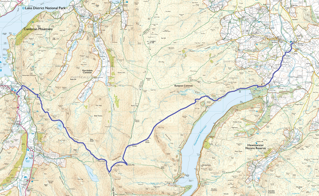
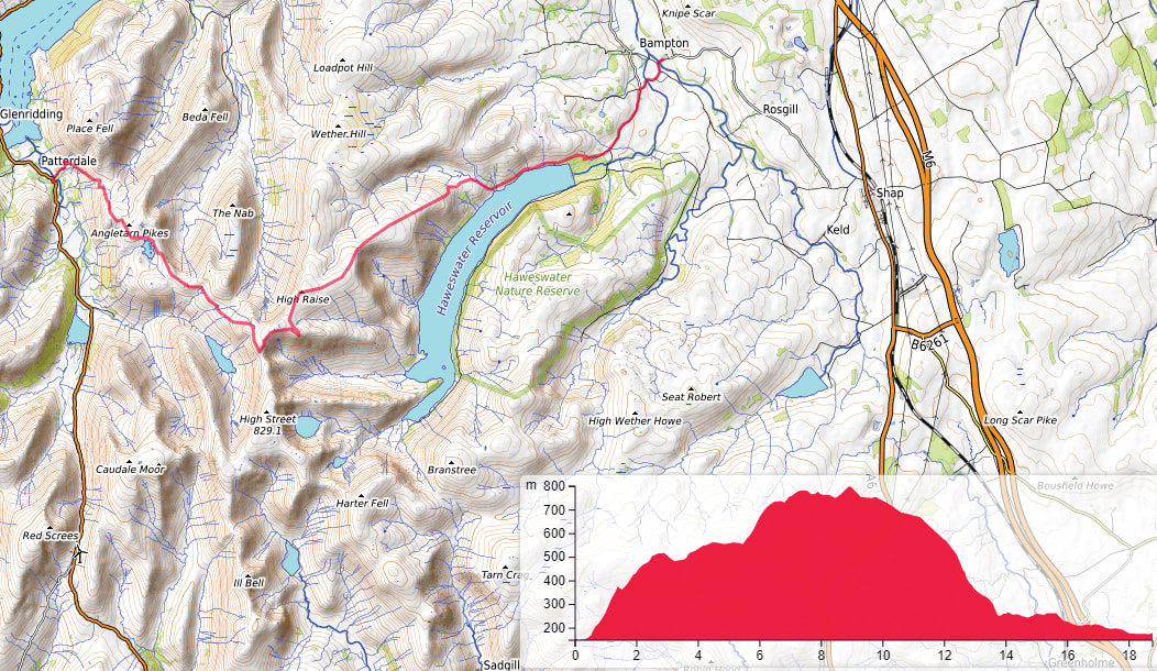
According to the itinerary provided by Northwest Walks this was the longest distance we would have to walk in a day if we walked from Patterdale to Shap. The full distance would be 16 miles (25.7km). The route on the map shows the walk ending at Bampton Grange but the route to Shap is another 4.25 miles to the southeast. This inaccuracy is inconsequential as we ended our walk at Burnbanks but stayed the night at the Kings Arms in Shap.
When we were packed and ready to go we met Dave Walsh at around 08:30 at the corner of the road leading to the bridge over Goldrill Beck and set off along the route. Dave had said he would like to join us for two of the legs along the C2C walk and this was the second leg that he chose. I'm not sure if it was a coincidence that the two legs on which he accompanied us were the two longest, strenuous legs or he had decided to make sure he was with us should we need any help. Either way it was great to be walking with him and benefitting from his experience and knowledge of the route.
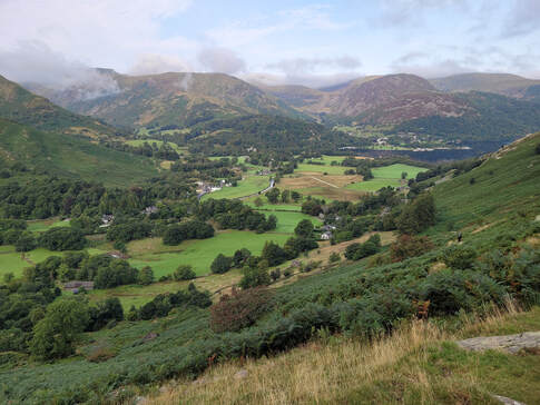
The path out of Patterdale up to Stony Rigg was a steady climb but not too strenuous. Looking back from close to Boredale Hause a view had opened up and we were able to look northwest down the valley past Old Water View and Patterdale to the southern end of Ullswater. There is a ferry that goes the length of Ullswater from Glenridding to Pooley Bridge which Peter and I talked about wishfully, but even if we had seriously considered it, the walk from Pooley Bridge to Shap would have been uncharted territory for us. As I have a love for all activities that require rivers, lakes and oceans perhaps I'll return one day to take that ferry ride.
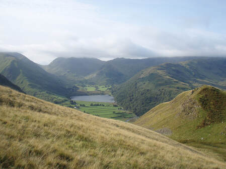
Looking to the south you can see up the valley along Goldrill Beck to Brothers Water and past to Kirkstone Beck. From the two views you can see that the weather was pleasant - some cloud, some blue sky and not too warm.
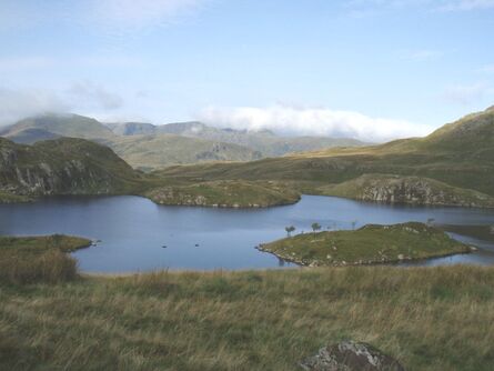
The route continued to angle across the contours making a relatively gentle climb past Stony Rigg and Angletarn Pikes. As we were lucky with the weather we were treated to expansive views down to the valleys below with their patchwork of farmers' fields. We took lots of pictures of the same views as we climbed higher and higher - too many! Finally we reached the crest of the shoulder above the Angletarn Beck valley and caught our first glimpse of Angle Tarn. Angle Tarn is a pretty spot favoured by walkers who are wild camping as their campsite for the night before starting the walk the next day towards Shap or heading off on many of the walks that can be accessed in the area.
The video above shows a panoramic view of typical scenery we were enjoying as we walked along the trail. I would like to identify the location of the view but unfortunately I didn't take any record of my photos and I didn't turn on the location function on my phone. Maybe this old dog can learn new tricks and next time I'll make sure I record the location of all of my images.
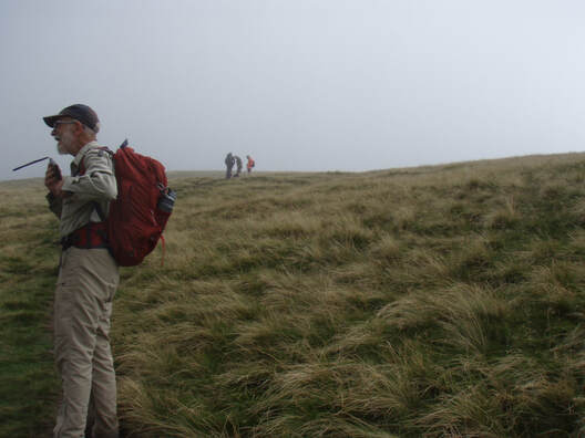
Time to show that we really were walking on the Coast to Coast path and not just googling images to create a virtual reality account of a pretend expedition.
This is Peter in the foreground and behind him further up the path Dave is talking to two hikers.
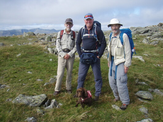
From left to right - Peter, Dave and David with Fudge in front. I think this photo was taken on High Raise where a fellow walker was available to take this shot.
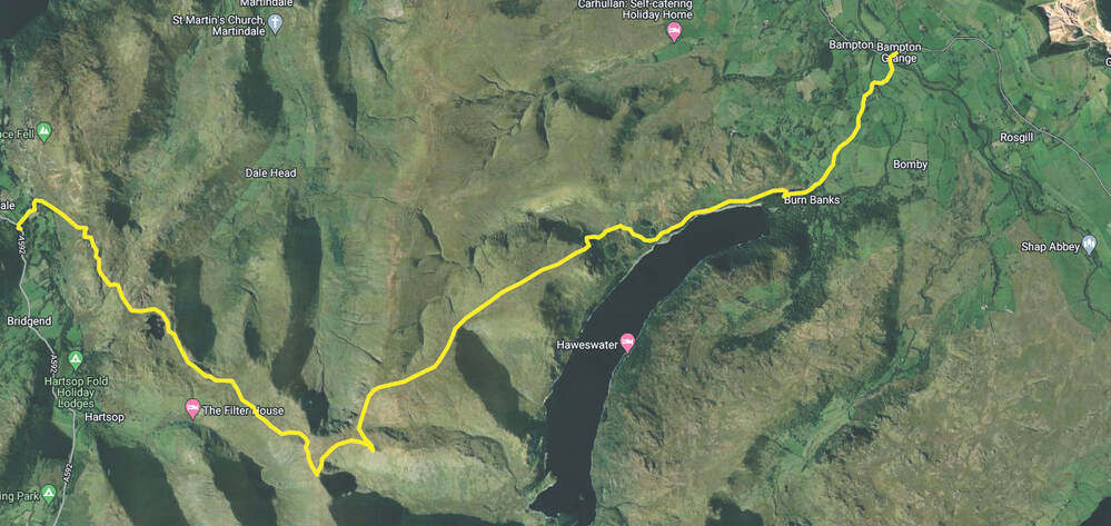
This satellite view of our route gives you an idea of the terrain that we crossed. Although it wasn't too strenuous there were times when I crested what seemed to be the top of the climb only to see the trail continue on up to another apparent summit. Anybody close to me at those moments would have heard me mutter some rather unsavoury comments about never ending uphill slogs.
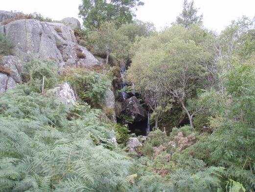
After High Raise and Low Raise the path descended a long slope until we reached a steeper drop down to Measand Beck and from there we followed the beck down to Haweswater Reservoir. The last part of the path down to the reservoir was quite steep and needed some care but the beck was happy to drop down in a series of small, attractive waterfalls, The Forces on the OS map.
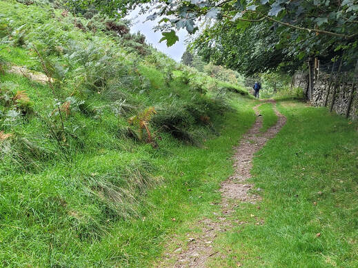
The path from Measand Beck to Burnbanks above Haweswater Reservoir was an easy walk and a chance for our legs recover from their earlier efforts. You can see Dave ahead on the trail encouraging us to keep moving. When we were on the path just before Kidsty Pike, Peter and I left the blue track and took the footpath shortcut to avoid the pike but Dave went up to the pike and met up with as we rejoined the blue track. He had gone up to the pike and back down and still met with us as we arrived at the junction of the two paths.
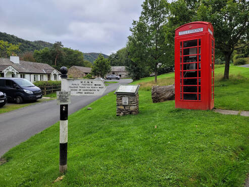
We arrived at Burnbanks at 15:30 where Dave called Angie and we waited until she arrived in their pickup. Burnbanks was built to provide accommodation for the workers who were building the dam at the east end of Haweswater. Needless to say the management accommodation was further along the road at Naddle Gate. When Angie arrived Peter and I went with her in the pickup to our accommodation in Shap but Dave continued on after arranging for Angie to pick him up after we had been dropped off.
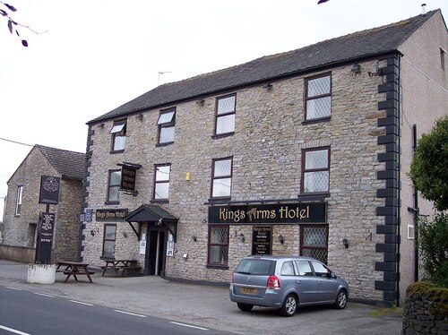
Our accommodation for the night was at the Kings Arms on Main Street in Shap. The two most important features at this hotel were that it had a bar and a restaurant. Come to think of it they are the most important features for any accommodation after a long day of walking.
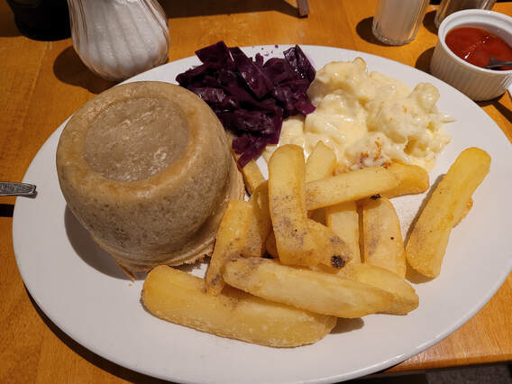
This was Peter's evening meal. He obviously thought it was worthy of a photograph. As I recollect it was a chicken pot pie with cooked beets, creamed cauliflower and chips making a colourful meal that looked appetizing even before the first bite.
Day 8, Sept 15 - Shap to Orton
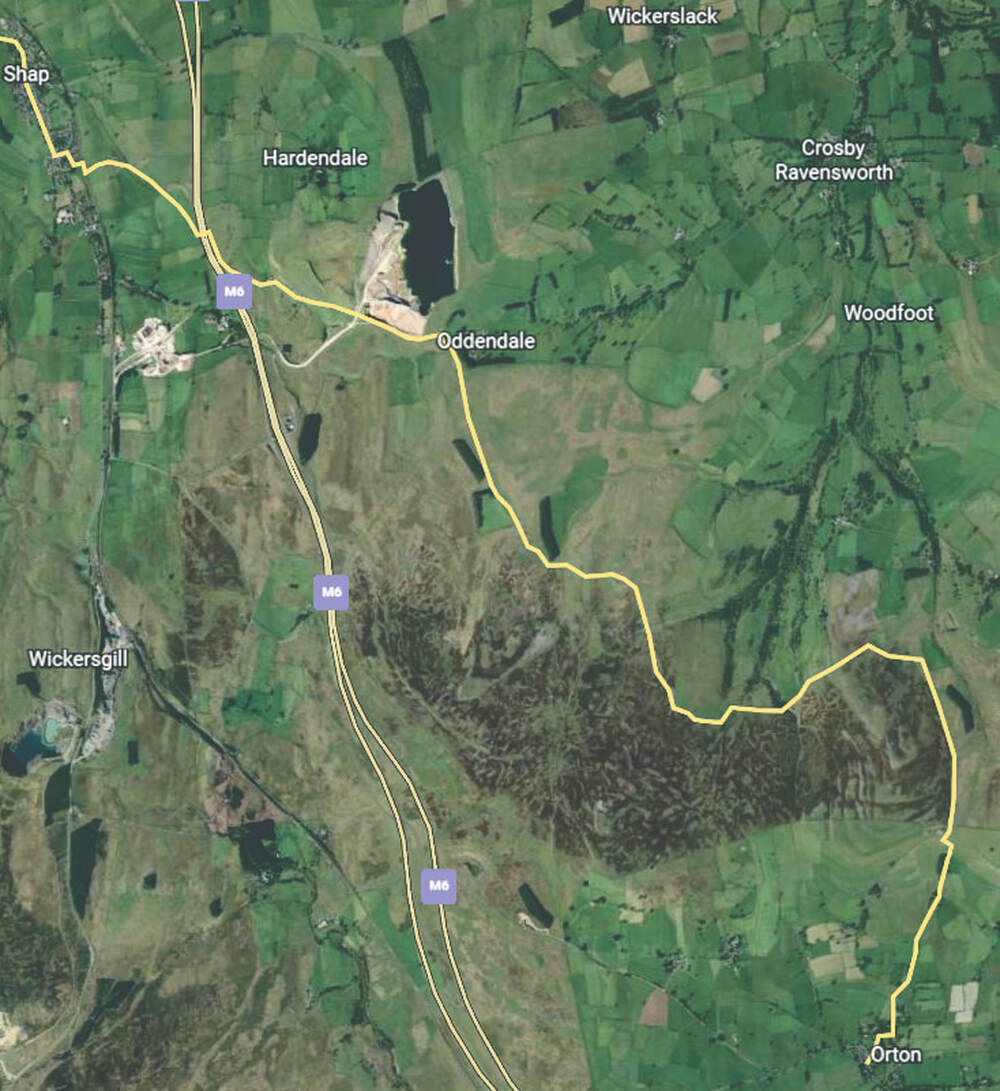
The route from Shap to Orton was an easier day for us, 8 miles (12.9km). We had left the Lake District Mountains behind and were heading across the farmland and moors of the Eden Valley. The views along the way lacked any moments of inspiration but it was interesting to experience the peaceful rural setting and the gentle moorland. There were some moments of particular interest along the way that were captured mostly by Peter. The weather was good and the walk was only 8 miles (12.9km) so, as we were not in a rush, we could take our time.
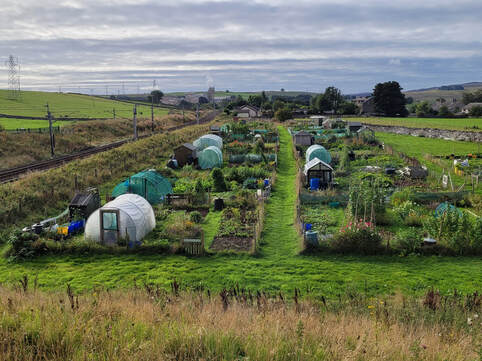
After we left Shap and had reached the bridge across the railway we found the Shap allotments. Allotments (community gardens) are very common in the UK. Their history goes back to Anglo Saxon times but their modern form came into existence in the nineteenth century, first as land for the working poor and then, as the industrial revolution created a need for support for factory workers, in 1908 the Small Holdings and Allotments Act was passed. Further legislation was passed in 1919 to provide land for allotments for anybody to lease. During WWII allotments were part of the Victory Gardens campaign and became an important source of fresh food for the UK population.
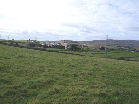
The route from Shap to Orton passes across a limestone plateau and there are several limestone quarries in the area. As we left Shap we looked south to the Tata Steel UK Ltd lime kiln plant.
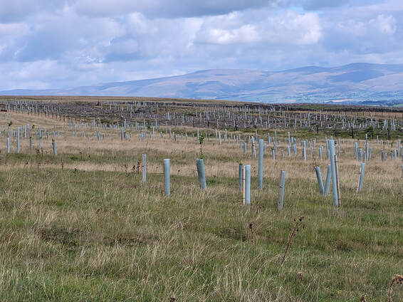
In many spots along the way we saw evidence of projects aimed at renewing areas to their original native species of vegetation. The area shown in this picture is part of a project by the Crosby Ravensworth Commoners Association intended to rescue common land that has been damaged by grouse shooting practices, farming activity and overgrazing. I was curious about these projects so I did a search on Google and found the Application Decision from the Planning Inspectorate regarding the project proposal. For my part I applaud the effort the locals put into this successful project and the foresight of the Planning Inspectorate in giving its approval.
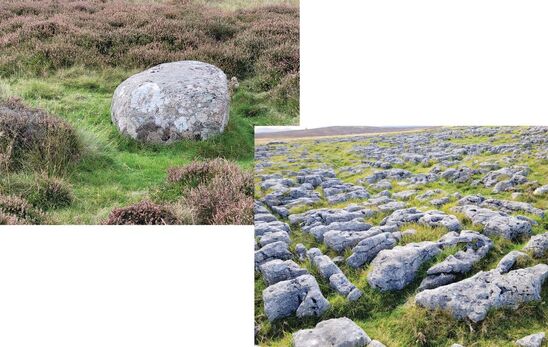
As if there was a need to prove that this area was in fact a limestone plateau, we were provided evidence in the form of a limestone erratic left behind by a glacier and a wonderful example of limestone karst. The last time I saw such a good example of limestone karst was at the top of Malham Cove on the Pennine Way.
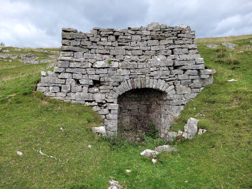
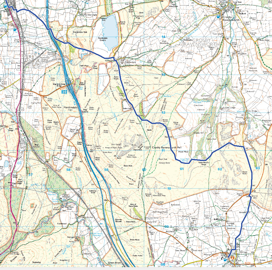
Our route left Crosby Ravensworth Fell and passed south of Hazel Moor and then we went past the path that lead to Robin Hood's Grave. I don't think we noticed passing Robin Hood's Grave so we missed paying it a visit. Next we joined Gilts Lane and followed it until it met with the B6260 close to Orton Scar. Just after we had crossed the B6260 we came across the well preserved remains of a lime kiln.
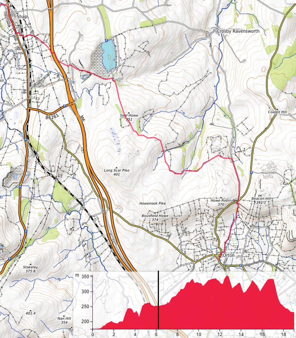
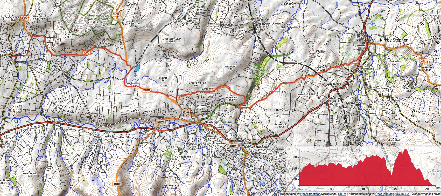
The OpenTopo map below shows our route and the elevation graph along the way. The GPS route that is marked on the map starts at Bampton not at Shap so I have drawn a black line on the elevation graph showing where we started our walk. The elevation graph makes it seem like we went up and down all day but the height scale compared to the distance scale exaggerates the high points. In actual fact from our starting point to the highest point there is only a 100 metre difference.
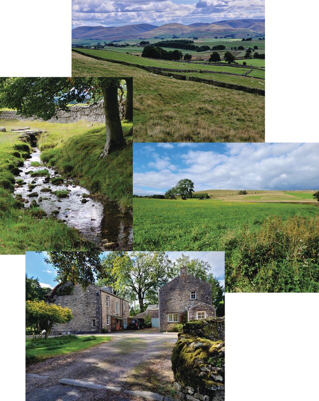
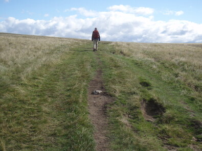
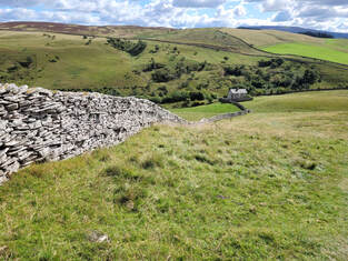
After leaving the lime kiln we started the gentle descent down to Orton. At first the path gave us views across the farmland in the valley to the fells in the distance.
As we dropped down lower we started to follow the path along the stream that flows into Orton. The path crossed over the stream on a couple of footbridges and passed by green fields stretching into the distant view of open common.
Eventually we reached a lane that lead into the village and we found our way to our B&B with a little help from a local dog walker.
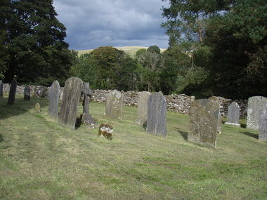
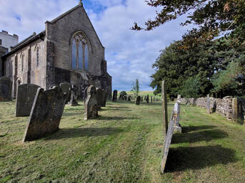
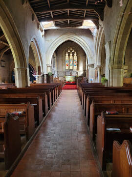
Most of headstones in the graveyard close to the church were illegible but I was able to determine the dates on some of them and it seems that the graves in this location were from the 19th century. The more recent burials were across the drive in a new area of the cemetery to the south of the church. The inscriptions on the headstones in this part of the cemetery had recent dates. As you can see from the pictures, the church grounds were carefully maintained and there was the fresh smell of cut grass as they had recently been mowed.
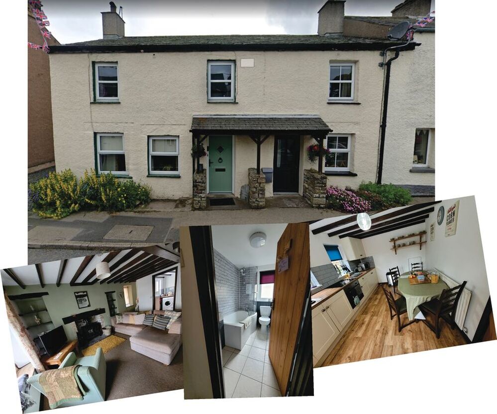
There are several things that stand out about our stay in Orton. The first was our accommodation for the night. We had the whole of the cottage at 1 Front Street all to ourselves. Our host made sure the kitchen was well provisioned for drinks, snacks and breakfast. We were so impressed with the comfort and all of the amenities that Peter took pictures of the living room, the bathroom and the kitchen
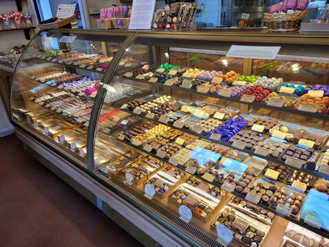
Before we reached Orton we had heard that there was a chocolate shop in the village that was worth a visit. So after we had settled into the cottage we walked down to Kennedy's Fine Chocolates retail shop and it definitely didn't disappoint. The biggest problem was trying to decide on what to choose from all of the huge number of choices that were available. Eventually, after recovering from being overwhelmed by the huge display of candies all around us, we both treated ourselves to a small purchase. If I ever go back I think I'll throw caution to the wind and forget my dietary restrictions so that I can try lots of their excellent chocolates.
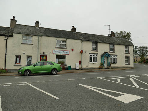
The next place that left an impression on me was The Village Store. The store was next door to our cottage and very convenient for us to purchase items for our lunch for the next day. The store was well stocked with groceries but I was tempted by a display cabinet full of tempting baked goods. Before we left in the morning I went in to the store and bought a pasty.
If you look closely at the previous picture of the cottage where we stayed and at the picture of the shop you will see the drainpipe on the right of the cottage is the same one visible on the left of the shop. Now that's shopping local.
If you look closely at the previous picture of the cottage where we stayed and at the picture of the shop you will see the drainpipe on the right of the cottage is the same one visible on the left of the shop. Now that's shopping local.
Day 9, Sept 16 - Orton to Kirkby Stephen
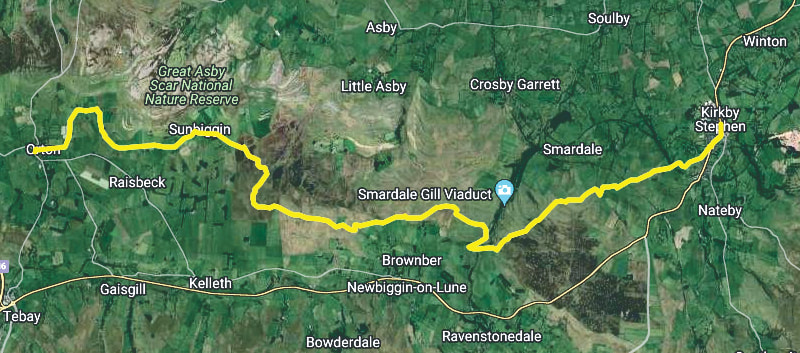
I'm struggling with an account for this day so it will probably be short. There's lots of pictures but they're pretty much all views of an agrarian landscape and open moorland. So I'll show the route and enough pictures to show our progress.
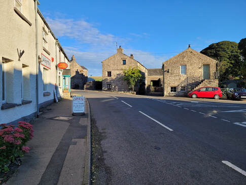
We knew the walk today was one of the longer days, 12 miles (19.3km) so we left quite early at 08:15. It was a beautiful morning and the view back past the village store was a good reminder of our departure from the cottage and the village.
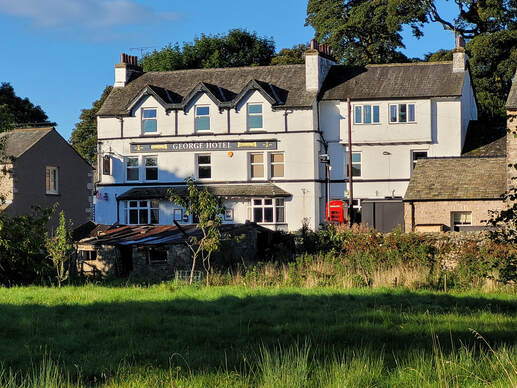
While Peter and I had a whole cottage to ourselves for the night many of our fellow walkers stayed at the George Hotel and we visited with some of them when we went to the hotel for our supper.
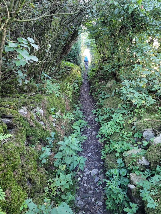
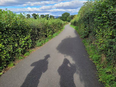
After we had left the village our route took us along a narrow public footpath. That's me in the distance easily identifiable by the blue backpack.
|
|
The times shown on the data properties for the following images show they were taken from 08:52 to 10:07. Once again there wasn't any rain or any dreary cloud so I think it's safe to say the weather was unexpectedly good for this part of the country. The views were expansive examples of Blake's "green and pleasant land." The tree in picture #3 amazed me with the spread of its leaf covered branches because in Western Canada all we mostly see is miles of uniform conifer forest. Picture #8 was a puzzle. Was it an intentional fire or spontaneous combustion in a manure pile? |
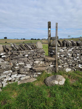
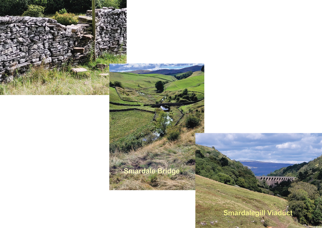
Along the way we crossed over many different types of stiles. I found this one with its carefully placed rock steps to be an unusual design and I was relieved that the more recent addition of the pole was there to assist me with my balance.
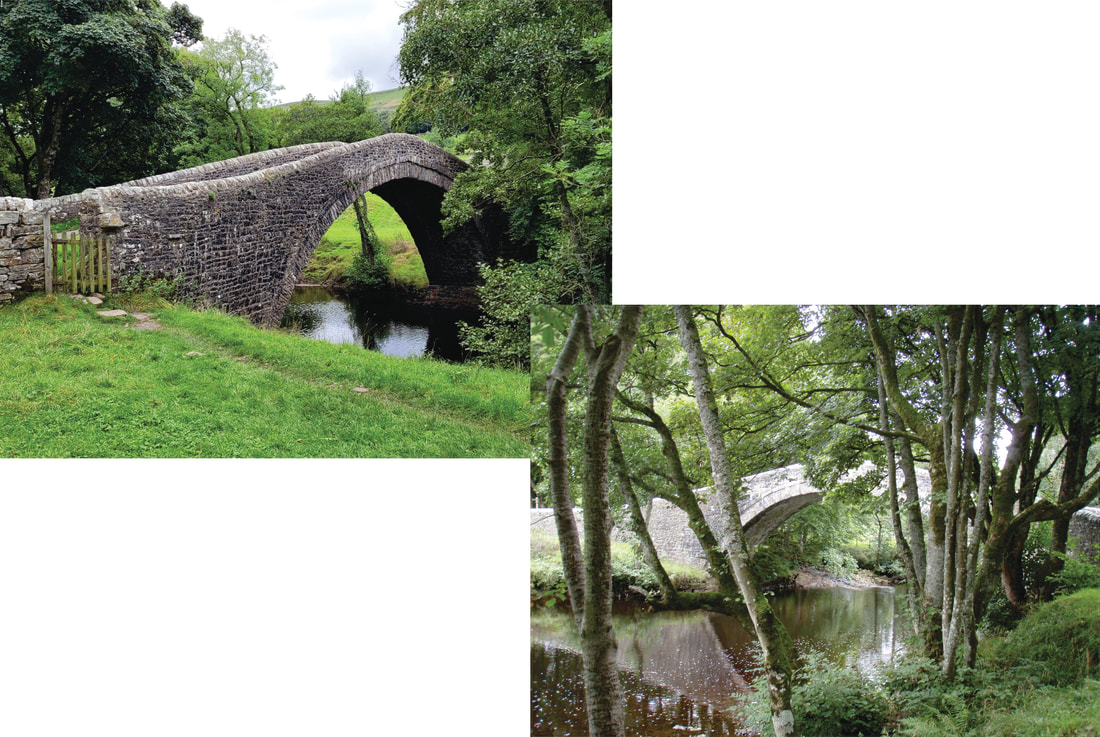
Smardale Bridge is a Grade 11 listed packhorse bridge in the perfect setting for artists and photographers.
Smardalegill Viaduct was built in 1861 as part of the South Durham & Lancashire Union Railway to carry coke to the iron and steel mills located west of the Pennines. Since the railway line was closed in 1962 it has been repaired and is now used as a footbridge across Scandal Beck linking the two sides of Smardale Nature Reserve.
Day 10, Sept 17 - Kirkby Stephen to Keld
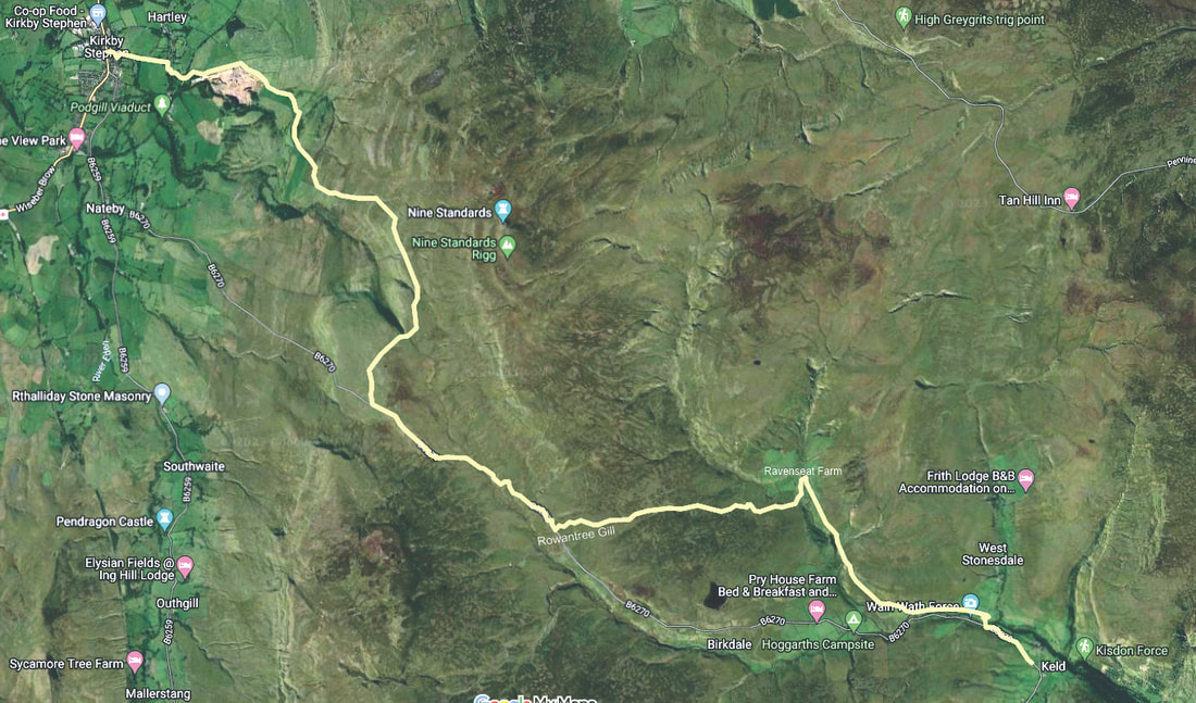
This was another day where we cheated a little but with good reason. Looking at the map for the walk from Kirkby Stephen to Keld it was apparent that for the first 7 miles we would be climbing roughly 1160 feet (354m) as we went up Birkett Hill and continued up until we walked past High Dukerdale. As the total distance for the route we had been given would have been 13 miles (20.9km) and I was anxious to visit Ravenseat Farm we decided to take a taxi to a suitable point along the way. Fortunately the B6270 met up with the our route at Rowantree Gill so our taxi was able to drop us off right where the path left the road. I think the best way to give an impression of our progress from Rowantree Gill to Ravenseat Farm is to do another slideshow that shows what we saw along the way.
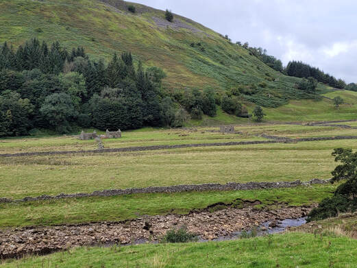
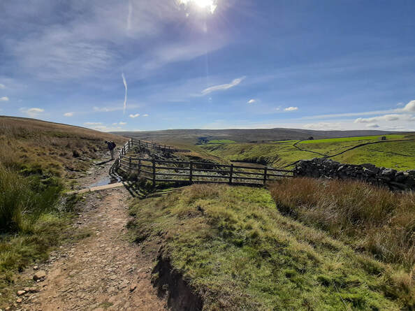
The topography of the dales is rolling hills intersected by deep river valleys and many small streams. Even after a long hot, dry summer the streams were still running and there were wet boggy areas along the path. The open areas on the higher land were covered with coarse grass and heather. Sheep are able to find enough to graze with what looked to me to be indigestible vegetation, but then I'm not a sheep.
I think Picture #1 shows a sheep fold but I can't find any trace of it on the OS Map.
The first part of the route was along a farm track but it turned into an ATV trail and then into a trail with several wet patches. Easy going and no problem avoiding the very wet parts.
Picture #9 shows our first view of Ravenseat Farm, the farm where the daily farm life of Clive and Amanda Owen and their nine children were recorded for the Channel 5 TV show "Our Yorkshire Farm," "My Big Family Farm" on the Canadian CBCGem streaming app.
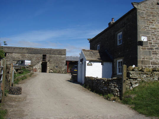
I really wanted to visit Ravenseat Farm because Jenny and I had been watching the TV programme "My Big Family Farm" at home in Jasper. We both found the farm life in the Yorkshire dales reminded us of the time we spent farming our land when we lived at Seba Beach, Alberta. Whilst we didn't have vast acres of land we did grow crops using very old farm equipment that we bought at local auctions and we raised sheep, goats, pigs, geese, chickens and horses. We even had a milk cow that I milked with an old milking machine. The kids all had horses and they used them to deliver the Edmonton Journal to their customers in the village.
When we were at the farm I made the mistake of approaching one of the children and saying, "I've seen you on television," probably a comment she had heard thousands of times. It was met with a stony silence until her brother intervened and asked her to respond to my question if there was anybody available to serve coffee from the mobile caravan kitchen. Shortly after we were served by Raven who was home from university and after I had broken the ice by telling her about our own very small family farm we had a pleasant conversation about her farm and the answers to our questions about things we had seen along the way.
When we were at the farm I made the mistake of approaching one of the children and saying, "I've seen you on television," probably a comment she had heard thousands of times. It was met with a stony silence until her brother intervened and asked her to respond to my question if there was anybody available to serve coffee from the mobile caravan kitchen. Shortly after we were served by Raven who was home from university and after I had broken the ice by telling her about our own very small family farm we had a pleasant conversation about her farm and the answers to our questions about things we had seen along the way.
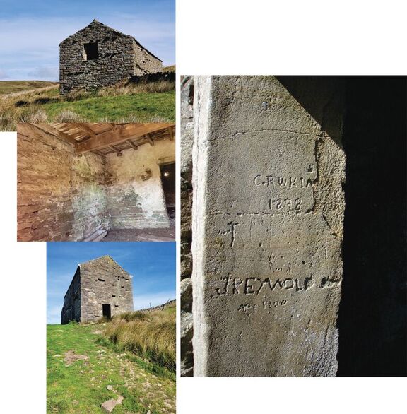
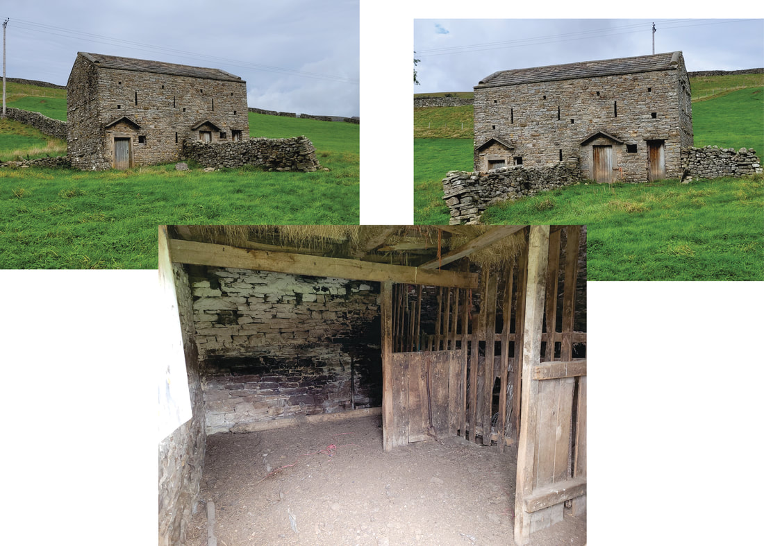
Shortly after leaving the farm the path went by an old farm building which we decided to explore. The inside was still in pretty good shape considering the years of exposure to the extremes of weather that it must have endured. The ceiling beams and the floor boards above appeared to be sound but I'm not sure I would like to fully trust them enough to walk on them. As I walked out of the entry doorway I noticed that there were some inscriptions carved into the stone door jamb. The oldest date was 1898 which indicated the building was at least 124 years old when we were there. The more recent inscription was made by J. Reywold in 1900.
The path from Ravenseat Farm to Keld is wide and well maintained. Since the farm was featured in the TV show it has become a popular tourist destination for a pleasant walk with the reward of a cream tea before turning around and walking back to Keld. It's also a popular spot for C2C walkers to take a break and enjoy some refreshments before continuing on to either Keld of Kirkby Stephen.
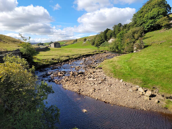
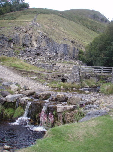
When we reached Swaledale at the bottom of the path from Ravenseat we arrived at Low Bridge on the River Swale. The view from the bridge on a beautiful day like this was too good to miss. On the left of the picture you can see the B6270, the road from Kirkby Stephen that we left at Rowantree Gill.
From the bridge we followed the footpath above the river until we reached Park Bridge where, once again, we met the B6270. The view in this picture was a bit of a puzzle because I couldn't match it to any of the topography or buildings that ere shown on the OS Maps. As it happened I had taken this picture with my mobile phone and I had actually turned on the location feature. After entering the location data from the picture into my Memory Map app I remembered Peter and I had chosen not to walk into Keld along the B6270. Instead we walked along a farm track to East Gill Force through Stonesdale Farm where I had taken this picture. East Gill Force is a pretty spot well worth visiting,
Day 11, Sept 18 - Keld to Reeth
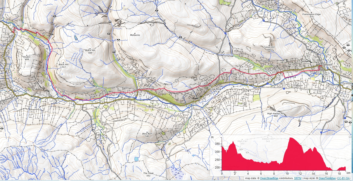
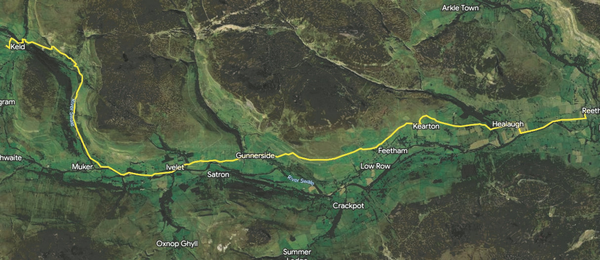
The path from Keld to Reeth was a pleasant walk along the River Swale valley. We started the walk at 09:00 with a 43m drop down to the footbridge over the River Swale and then passing by East Gill Force before walking up to Kisdon Force.
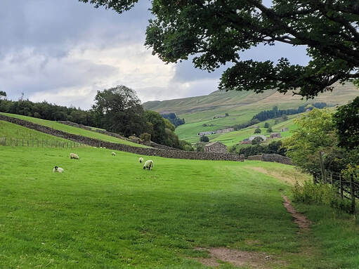
Past Kisdon Force the path went up over Stony Hill before descending down to the footbridge over Swinner Gill. From there it was easy walking along the path above the River Swale, mostly on the level. We went along the edge of farm fields with many sheep grazing quietly, ignoring us as we went by.
Just before we reached Ivelet hamlet we came across Ivelet Bridge, a 16th century, Grade II listed structure. Both Peter and I were struck by the idyllic setting and were impressed enough to stop and take these pictures. The fact that it is still standing and is still in use providing access to Ivelet on the north side of river is a testament to the amazing skill of the stone masons who built it.
We walked through Ivelet and followed the path across the grass fields stopping to take a picture across the river valley of the hamlet of Satron. A little way further on we stopped at an old building that was close to the path and decided to explore it a bit. We managed to look inside and it was in good repair and I guessed it might have been changed from two shepherd's cottages to being used as a barn.
We arrived at Gunnerside just as I was ready for a break and I was hoping there would be a place where I could sit down and enjoy a cup of tea and something to eat. We were about half way to Reeth so it wasn't difficult to justify stopping for some sustenance. So when we came across Ghyllfoot Tea Room we were able to sit down and enjoy tea and, in my case, a toasted teacake.
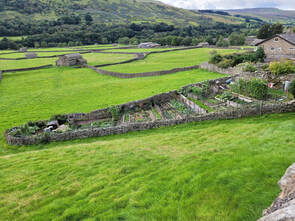
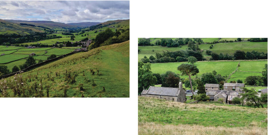
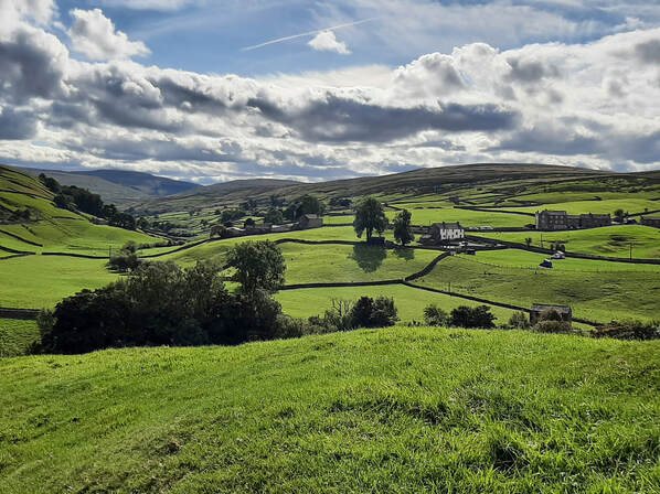
Just outside of the village we went by a walled garden that seems to be the village allotments ( community garden). As we left the village we walked up the path until we were 178m above the river below where we had uninterrupted views across Swaledale. All along the valley from Gunnerside to Healaugh both sides of the valley are dotted with tiny farming communities, one with the notable name of Crackpot.
For the last section of the path, from Healaugh to Keld, we dropped back down to the valley bottom and walked along the side of the river for 1km before crossing some fields and walking the last part down a lane and into the village. While we were walking by the river we met an older gentleman walking his dog and we stopped for a chat and he told us that we were walking along the corpse way, a path that was used by the Swaledale residents to bring their dead to the nearest consecrated burial site.
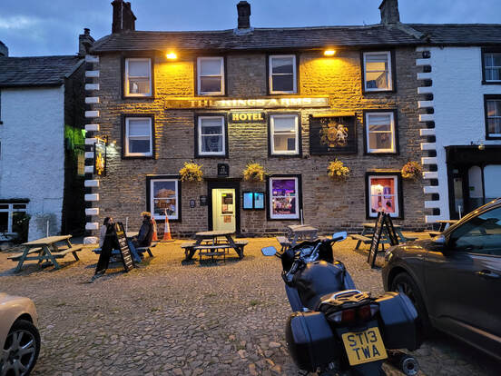
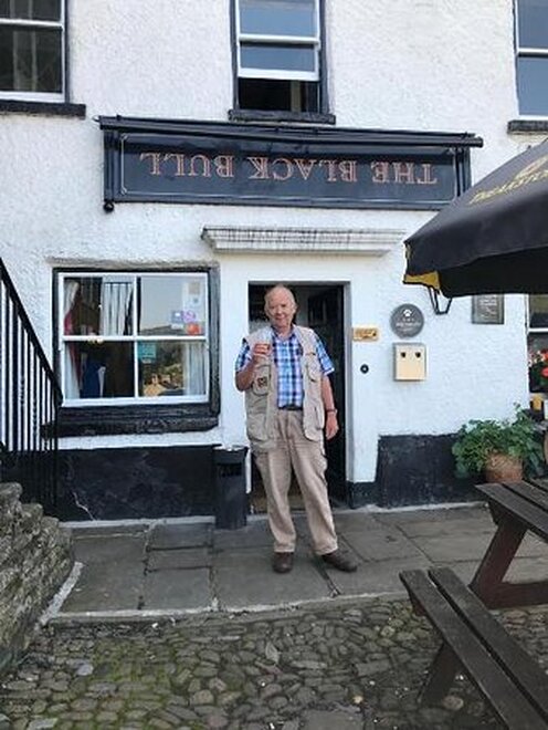
When we arrived in Keld we stayed in The Kins Arms Hotel where several fellow walkers were also staying. Another group were staying at The Black Bull Hotel just next door to our accommodation.
When we arrived in Keld we stayed in The Kins Arms Hotel where several fellow walkers were also staying. Another group were staying at The Black Bull Hotel just next door to our accommodation.
As you can see from the sign above the pub entrance, the owners of the hotel have made a real effort to make their Australian guests feel right at home!
Day 12, Sept 19 - Reeth to Richmond
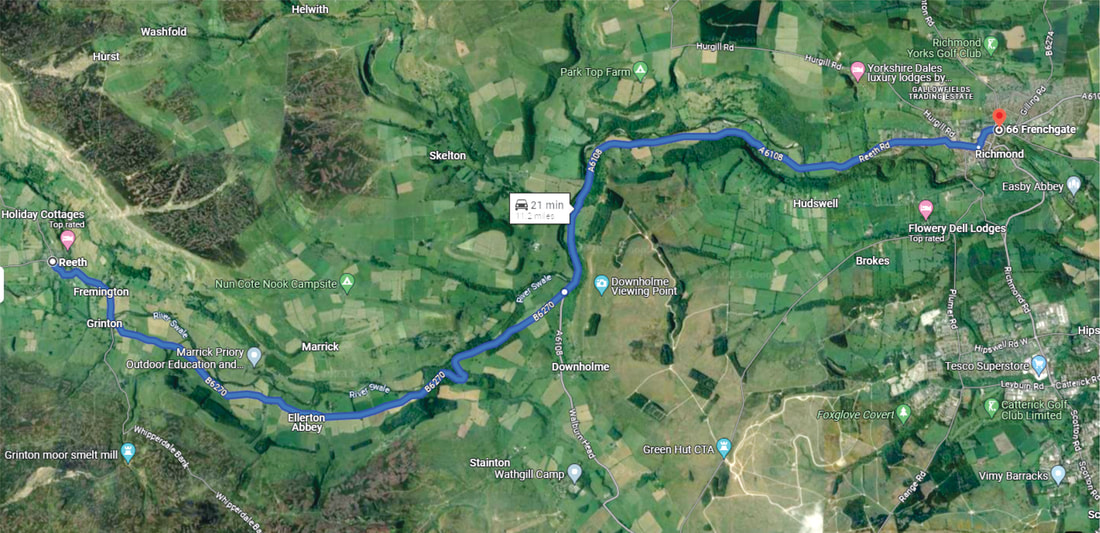
Today was the day for Queen Elizabeth's funeral so our plans for travelling to Richmond were drastically compromised by the national holiday. We had decided to travel to Richmond by bus so that we would have plenty of time to explore this historic town. We checked the bus company's website and it seemed the busses would be operating on a holiday schedule which would work well for us. There was no rush to get to the bus stop so we went to The Gift Shop to browse and ended up chatting to the young couple that owned the store. They helped us to check whether or not the busses would be running and off we went to the bus stop to wait for it to come. We waited past the scheduled time but no bus appeared. When it became obvious that there wasn't going to be a bus we went back to the shop and told them of our troubles. Once again they helped us by checking with the local taxi companies and when it was apparent that either a taxi wasn't available or the price was extortionate, Karl, the husband, offered to drive us to Richmond, an offer that we gladly accepted.
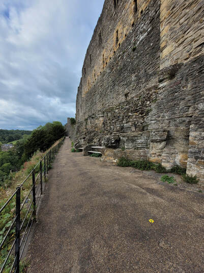
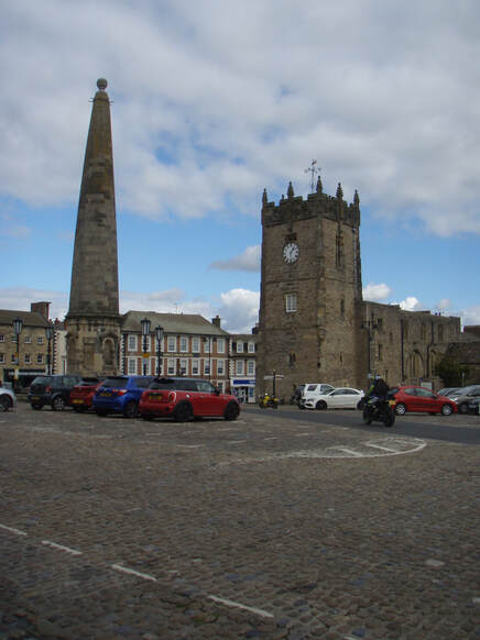
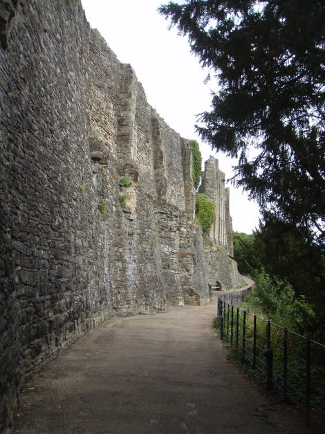
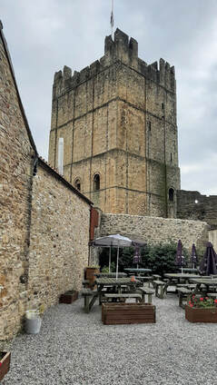
So for the account of our day in Richmond there will only be one map of the road trip, many pictures of Richmond and one interesting story about the help we received when we arrived at our accommodation.
So for the account of our day in Richmond there will only be one map of the road trip, many pictures of Richmond and one interesting story about the help we received when we arrived at our accommodation.
|
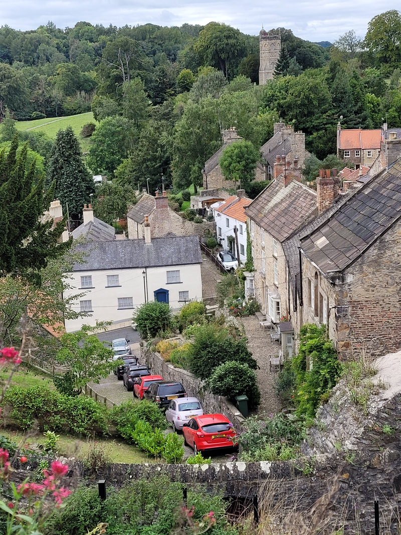
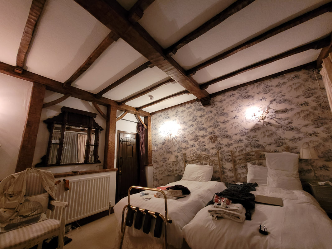
When we arrived at our accommodation on Frenchgate we wanted to drop off our backpacks so that we could go off and explore the town but nobody was home. Just as we were giving up a group of people came out of the house next door. From the conversation that we heard it was clear that there were some Canadians in the group so we asked them where they were from. In the course of the ensuing conversation they learned of our plight and the neighbours invited us in and let us leave our packs with them. Not only did they let us leave our packs they also invited us to have tea and snacks with them before we went off to explore.
|
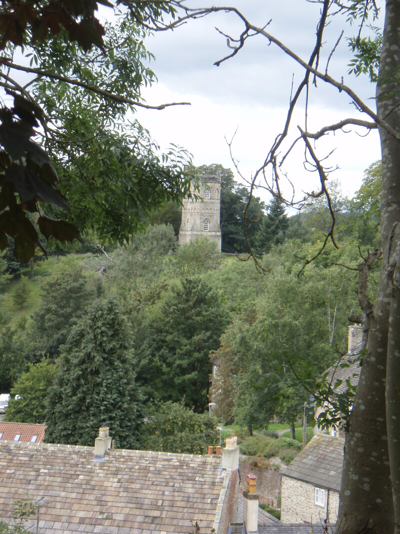
The Culloden Tower was built on the estate of John Yorke MP around 1746 as a folly. It fell into disrepair until 1981 when it was taken over by the Landmark Trust who undertook a full restoration. For those who like to experience unusual places to stay, the tower is available as a holiday rental.
Day 13, Sept 20 - Richmond to Danby Wiske
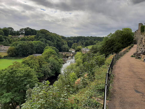
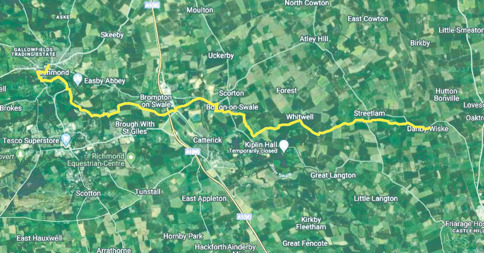
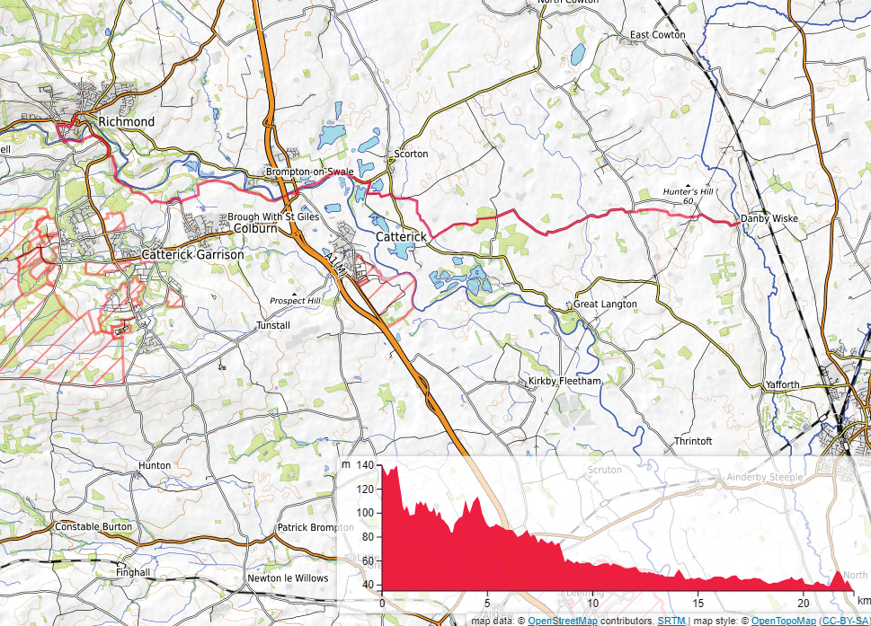
When we left Richmond we went down to the bridge over the river below Richmond Castle and found the footpath which we followed for just over 800m. The first 500m was along a wooded path close to the river.
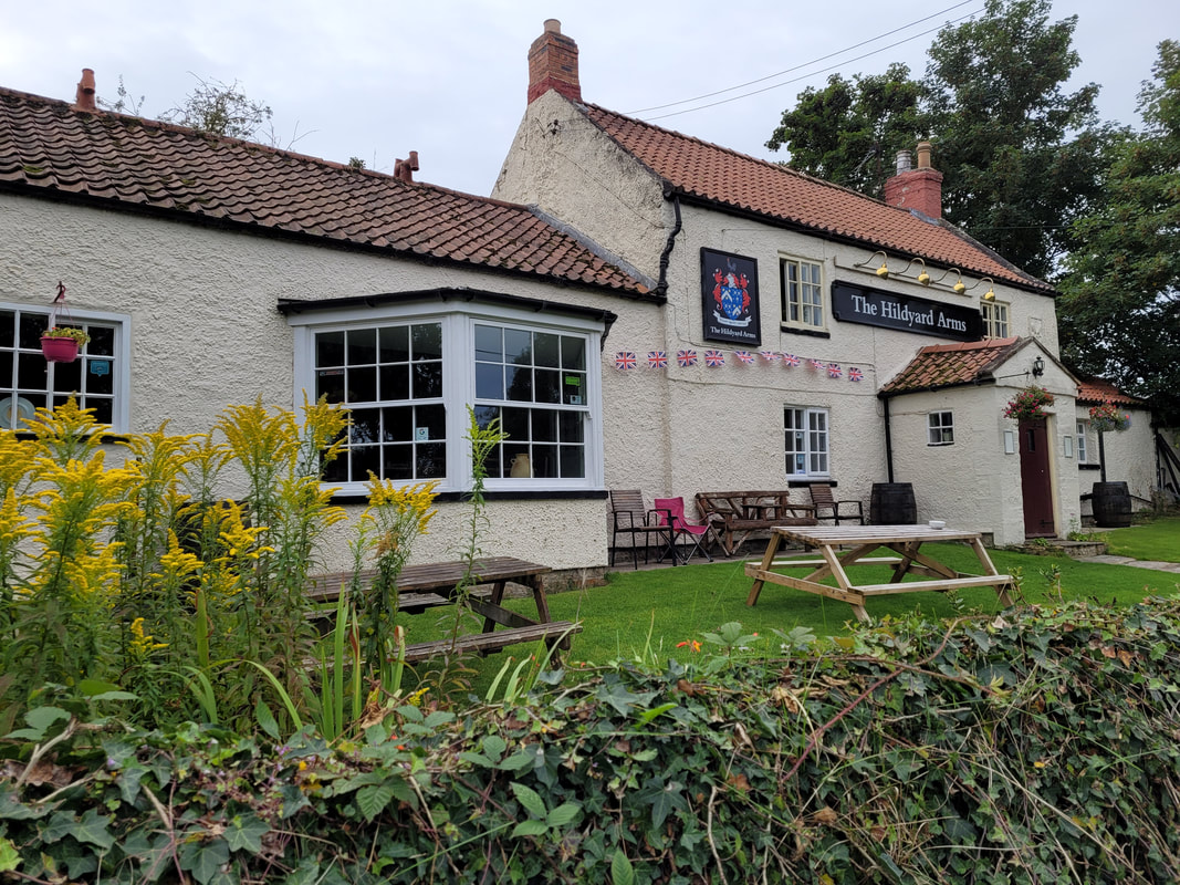
The footpath continued along the side of field, then behind the Priory Villas row of houses and connecting with Rimington Avenue (A6136). The C2C signpost at the corner was easy to see so we continued along the road in the direction it indicated until we found the path that lead us past the sewage works. From there we walked by the river for a short distance before reaching Hagg Farm and Walking across fields until we reached The Hildyard Arms in a small community which is part of Colburn.
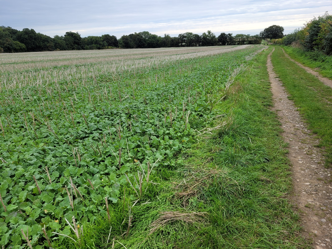
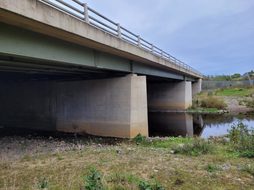
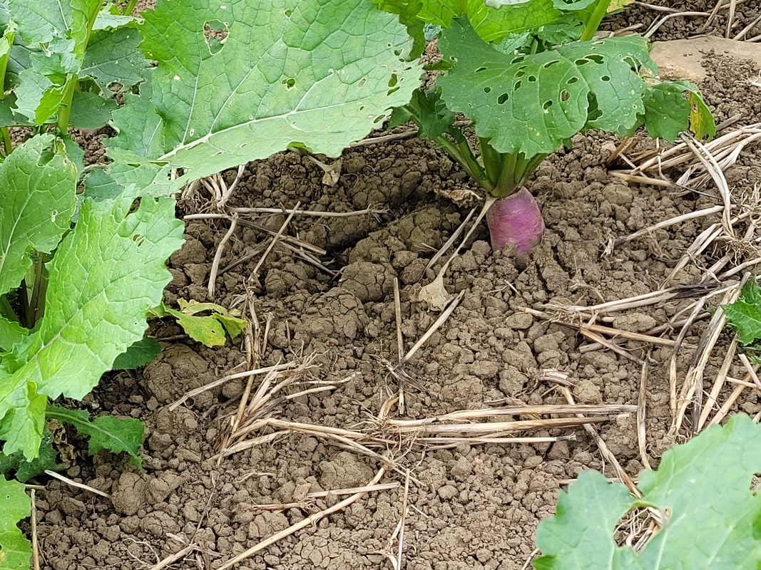
On our way to Brompton-on-Swale we walked along the edge of several fields of what looked like sugar beets although they could have been turnips grown for animal feed before reaching a short stretch of path that lead to A1(M) bridge over the River Swale and our footpath. The excavation work for the upgrade to the A1 lead to extensive archeological discoveries at Cataractonium, a Roman fort first established in the AD70s. There is a plaque attached to the southeast side of the concrete support buttress describing the Roman site and the various discoveries that have been made over a period of more than 350 years.
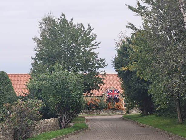
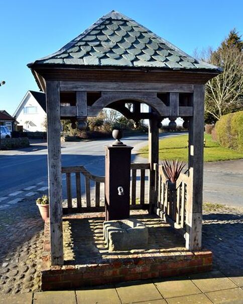
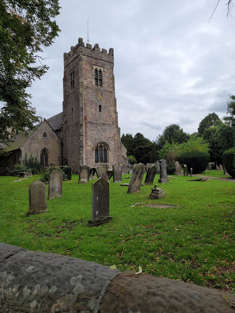
The A1(M) bridge was not an option for us pedestrians so we continued on a little way and crossed into Brompton-on-Swale using the Catterick Bridge. The footpath continued beside the river and then along some quiet lanes until we reached Bolton-on-Swale. At least the occupants of one residence were loyal royalists because they were still displaying a Union Jack hanging from the eaves at the entrance to their house celebrating yesterday's state funeral. We stopped at the village pump and sat on the bench across from it to eat our lunch before walking down East View to St. Mary's Church.
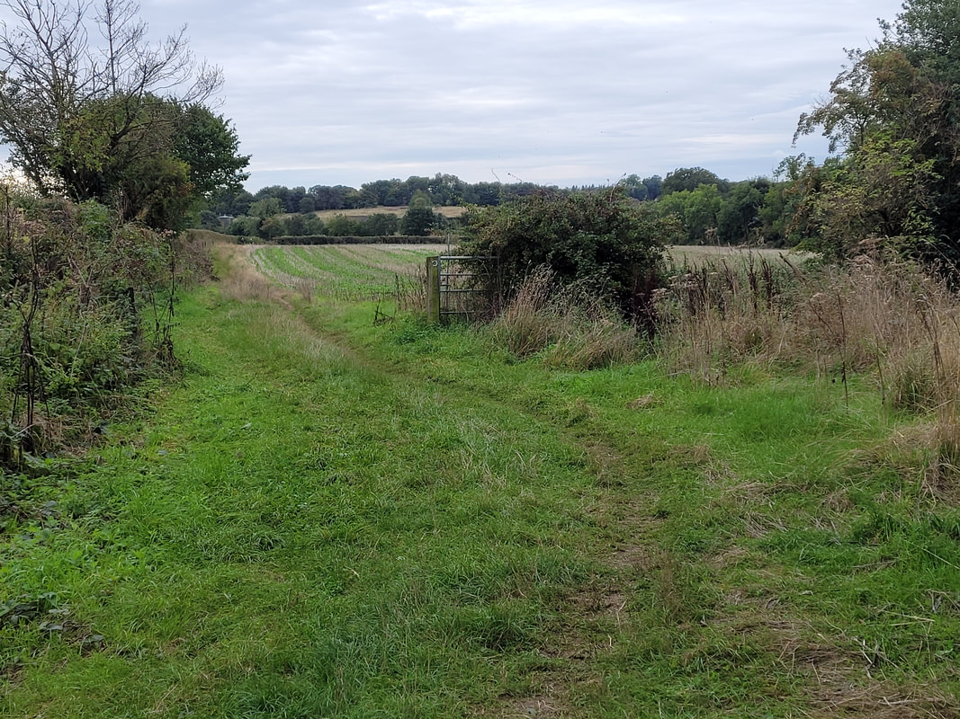
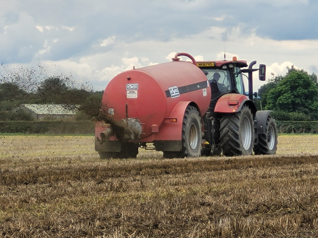
As we left the village we walked along the edge of fields by Bolton Beck until we reached a lane close to Stoneleigh. Some of the fields that we walked by were planted to either turnips or sugar beets again but the last field had been harvested and left as stubble. In that field a tractor was busy spreading manure slurry and the operator was not going to give any concession to two hikers at the edge of the field. He made one turn to make his next pass right next to us and sprayed slurry close to us and over the path where we were walking. As a result our boots were covered in manure and I expect I have grown at least an inch in the last twelve months - around the waist!
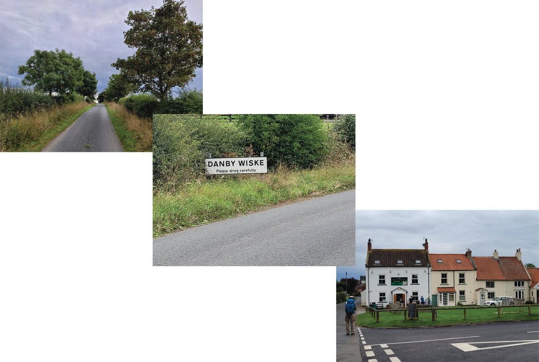
From Stoneleigh to the village of Streetlam we followed a quiet country lane for 5.7km (3.5miles) and then 2km across fields to join Danby Lane for the final kilometre to our accommodation.
Day 14, Sept 21- Danby Wiske to Ingleby Cross
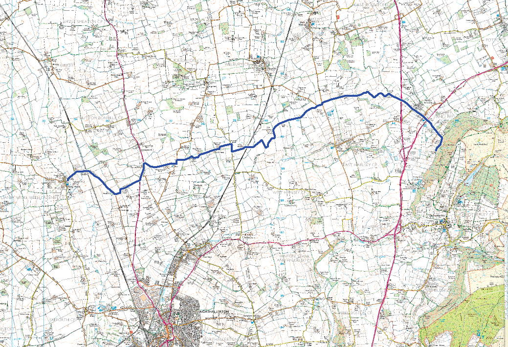
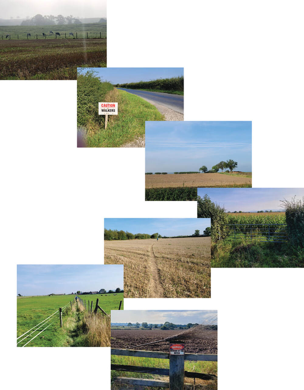
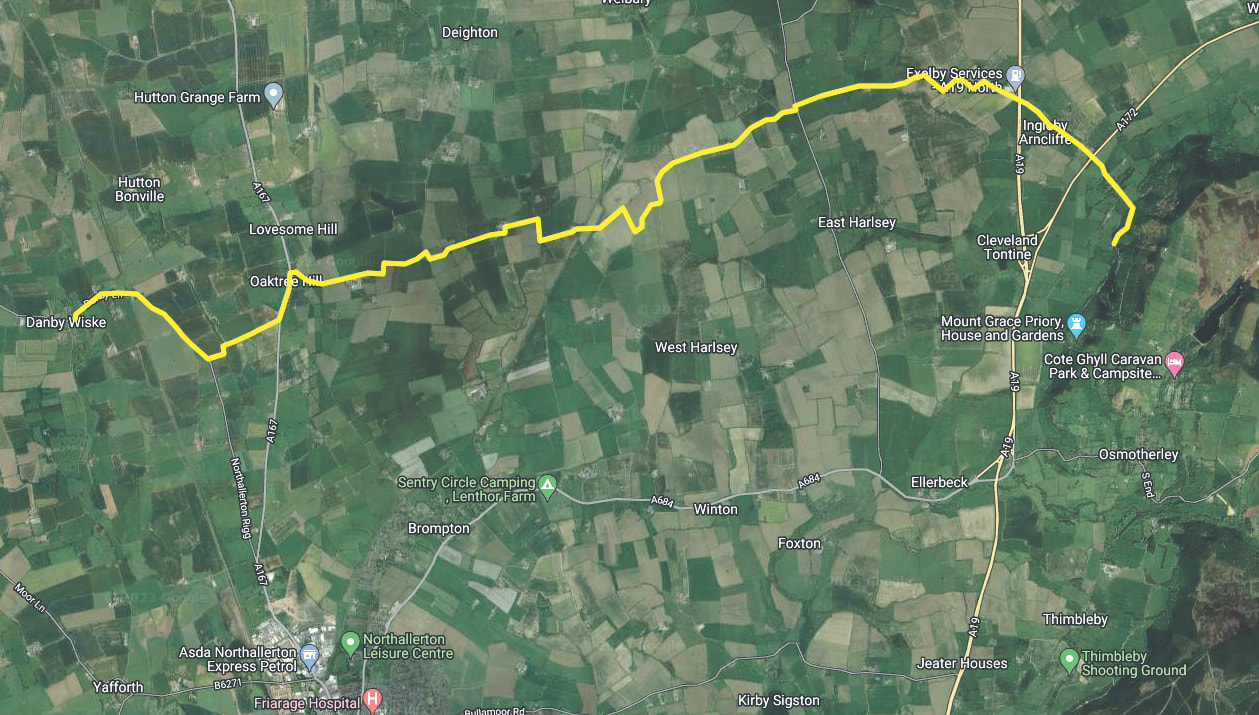
It was a misty morning when we started our walk from Danby Wiske. Twenty minutes later the mist had dissipated and it turned into a nice sunny day. All of our walk today was through various different types of farmland until the last kilometre when we started our climb at the start of the North Yorkshire Moors to Park House, our B&B for the night. I'll post several pictures to illustrate the different kinds of agriculture that we walked by and through.
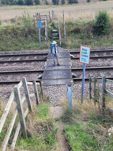
One of the two more interesting parts of the path was crossing the train tracks after passing through Wray House farmyard. Fortunately the track was straight for a considerable distance on both sides of the crossing but, even so, we were very cautious, looking both ways and listening carefully before venturing across.
Slide show below. More views along the way.
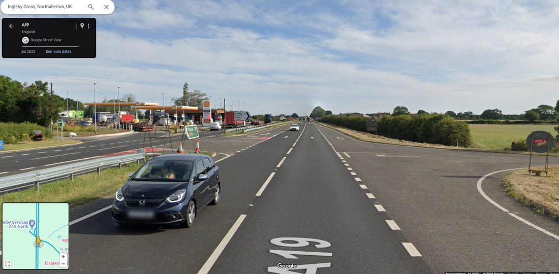
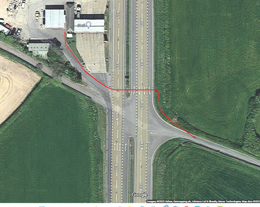
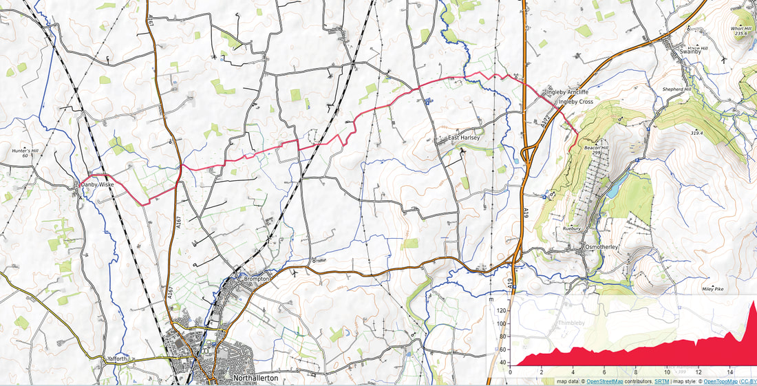
The second interesting and frightening event on this walk was the crossing of the A19 at the Exelby Services site. Before we ventured across this busy four lane highway we went in to the Shell station. Then we crossed the road by what seemed to be the most direct route with a place between the lanes to stop and wait for a gap in the traffic before we scurried across the second two lanes of traffic. As far as I can remember the red track on the satellite image shows the route we chose to take.
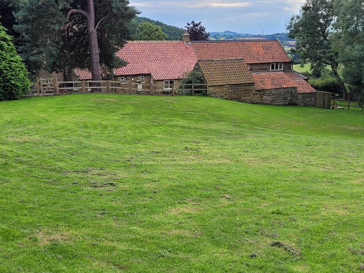
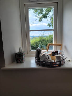
The final stretch of our walk was through Ingleby Arncliffe and Ingleby Cross before climbing up 32m through Arncliffe Wood to Park House, our accommodation for the night. Park House was a very comfortable place to stay with a large lounge and pleasant grounds.
Day 15, Sept 22 - Ingleby Cross to Great Broughton
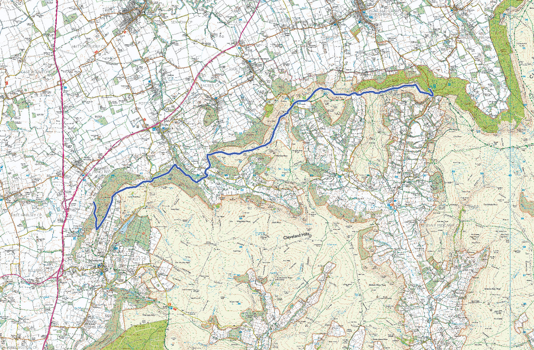
As you can see from the map, most of today's walk was along the edge of the Yorkshire Moors.
Proudly powered by Weebly
